Map Reading: City vs Rural
A free geography worksheet ready for your classroom. Open in Kuraplan to grab the print-ready PDF, customize it for your students, or generate a fresh version in seconds.
Map Reading: City vs Rural
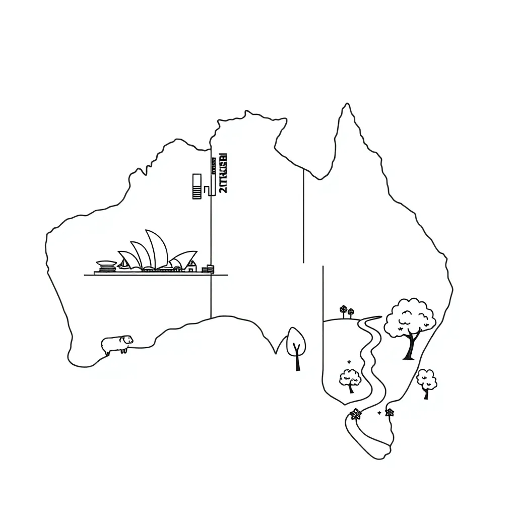
🗺️ Part 1: Map Features
🏙️ Part 2: City Map Reading
City maps usually show _____________ roads and _____________ buildings. The scale is often _____________ detailed than rural maps because cities have more features in a _____________ area.
🌾 Part 3: Rural Map Reading
🔄 Part 4: Comparing Maps
City Maps:
• Scale: Usually _____________ (larger/smaller) scale
• Roads: Mostly _____________ roads
• Buildings: _____________ density
Rural Maps:
• Scale: Usually _____________ (larger/smaller) scale
• Roads: Mix of sealed and _____________ roads
• Buildings: _____________ density
🎨 Part 5: Map Skills Practice
Include: railway line, main road, river, school, hospital
About This Worksheet
Free in Kuraplan
Sign up free, grab the PDF, and customize it for your class.
Print-Ready
Formatted for standard paper. Clean layout, easy to read.
AI-Generated
Created with Kuraplan's AI, designed for real classroom use.
For Teachers & Parents
Use in classrooms, for homework, tutoring, or homeschool.
Need a custom version of this worksheet?
Kuraplan's AI generates custom worksheets in seconds — differentiated for every learner, aligned to your curriculum.
Generate Custom Worksheets — FreeMore Geography Worksheets
Polyfest Geography Knowledge Check
Free
African Human Geography
Free
Africa Geography Matching
Free
Human Geography Basics
Free
Balkan Peninsula Geography Analysis
Free
Coastal Geography Report Draft
Free
South American Geography Study
Free