Medieval World Geography Quest
Grade 8 History Mapping the Medieval World (500-1400 CE) Lesson 5: Major Civilizations and Regions

Activate: Label the Continents
Work with your partner Use your blank world map Label all 7 continents Mark major oceans You have 5 minutes!
The Medieval World (500-1400 CE)
Period after fall of Western Roman Empire Rise of new civilizations and trade networks Three major regions dominated world affairs Geography shaped political and cultural development
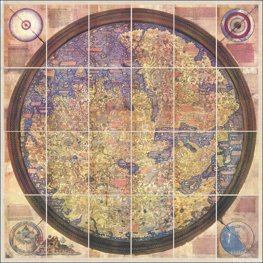
Major Medieval Regions Map

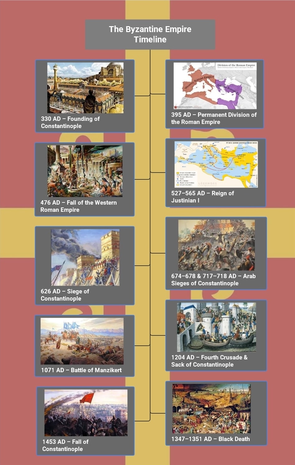
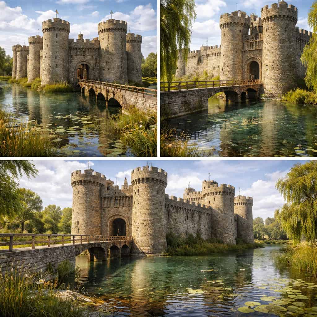
Region 1: Medieval Europe
Feudal system dominated society Christianity unified diverse kingdoms Geographic features: peninsulas, islands, rivers Key locations: England, France, Holy Roman Empire
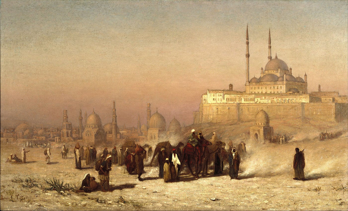
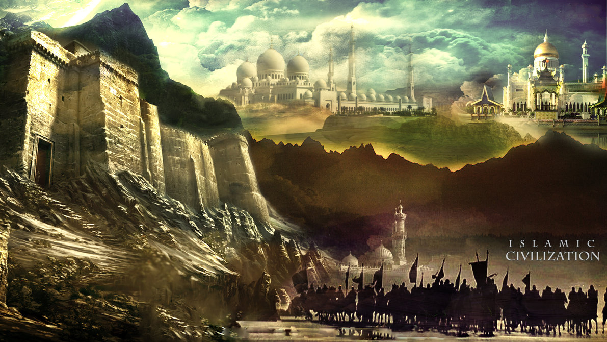
Region 2: The Islamic World
Stretched from Spain to Central Asia Centers of learning and trade Desert and coastal geography Key cities: Baghdad, Cairo, Cordoba, Damascus

Region 3: Medieval China
Tang and Song dynasties flourished Inventions: compass, gunpowder, printing Geographic barriers: mountains, deserts Silk Road connected to western regions
Comparing Medieval Regions
{"left":"Europe: Feudalism, Christianity, Castles\nIslam: Trade networks, Scholarship, Mosques\nChina: Dynasties, Inventions, Pagodas","right":"All connected through trade routes\nGeography influenced political systems\nCultural exchange despite distances"}
Apply: Create Your Color-Coded Map
Use your medieval world map worksheet Color Europe BLUE Color Islamic regions GREEN Color China and East Asia YELLOW Add symbols for each region Create a map legend

Think and Discuss
How did geography influence the development of these three regions? Which region had the best geographic advantages for trade? What challenges did each region face due to their location?
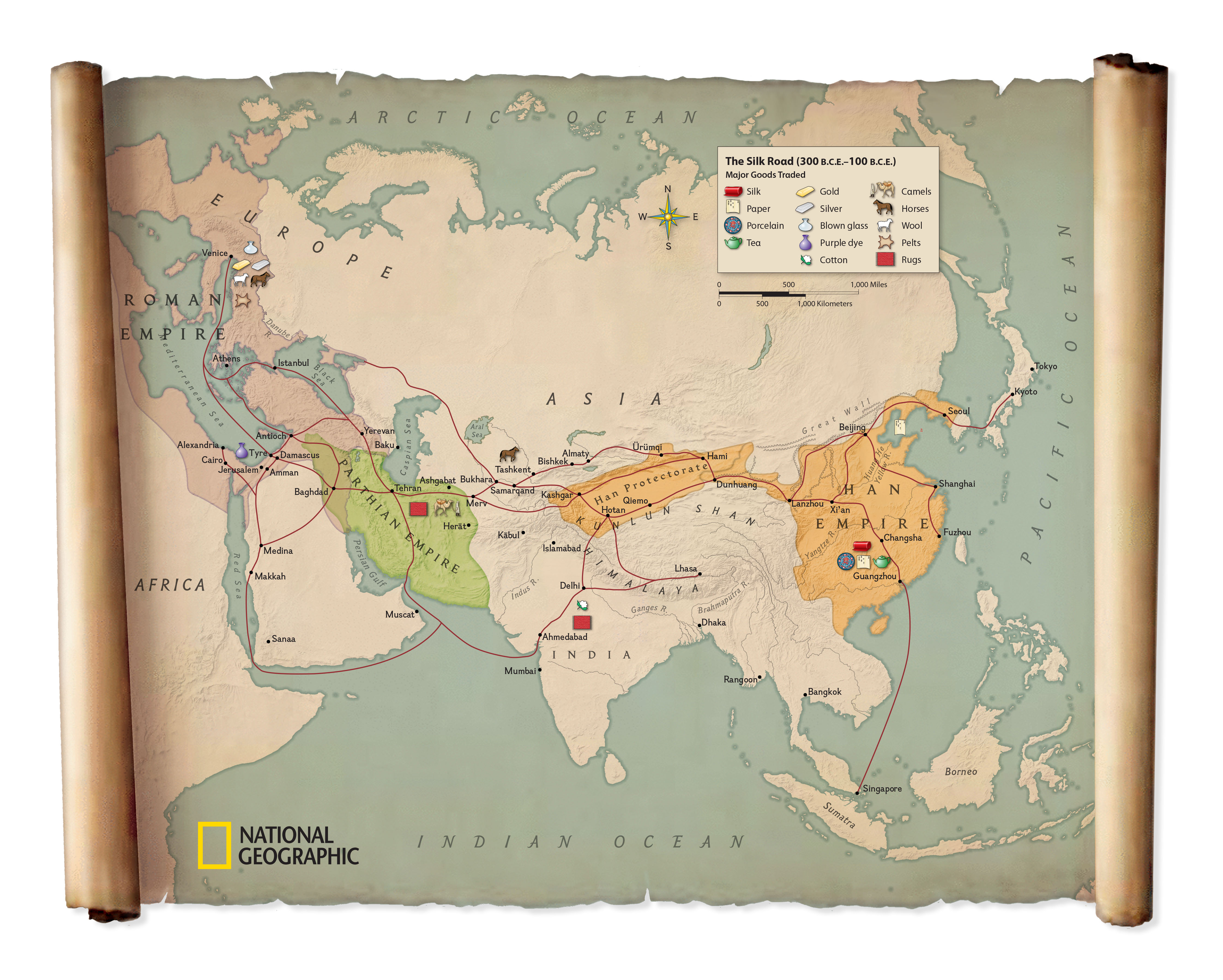
Connections and Trade
Silk Road linked East and West Mediterranean Sea connected Europe, Africa, Asia Islamic world served as bridge between regions Ideas, goods, and technologies spread along trade routes
Quick Quiz - Test Your Knowledge!
1. Which color represents Medieval Europe on our map? 2. Name one major city in the Islamic world 3. What geographic feature helped connect China to the West? 4. Which region was known for the feudal system?