
Auckland's Volcanic Evacuation Plans
Understanding volcanic hazards and emergency response Year 11 Geography New Zealand Curriculum

What do you already know?
How many volcanoes are in Auckland? When did the last eruption occur? What would happen if a volcano erupted today?

Auckland Volcanic Field Overview
53 volcanic centres across Auckland region Most recent eruption: Rangitoto Island (600 years ago) Monogenetic volcanoes - each erupts only once Covers 360 square kilometres
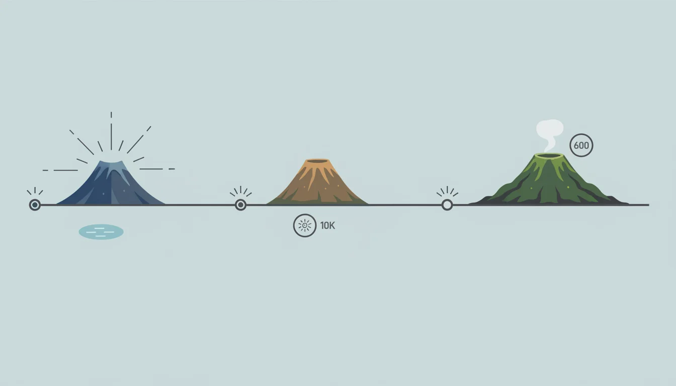
Auckland's Volcanic Timeline
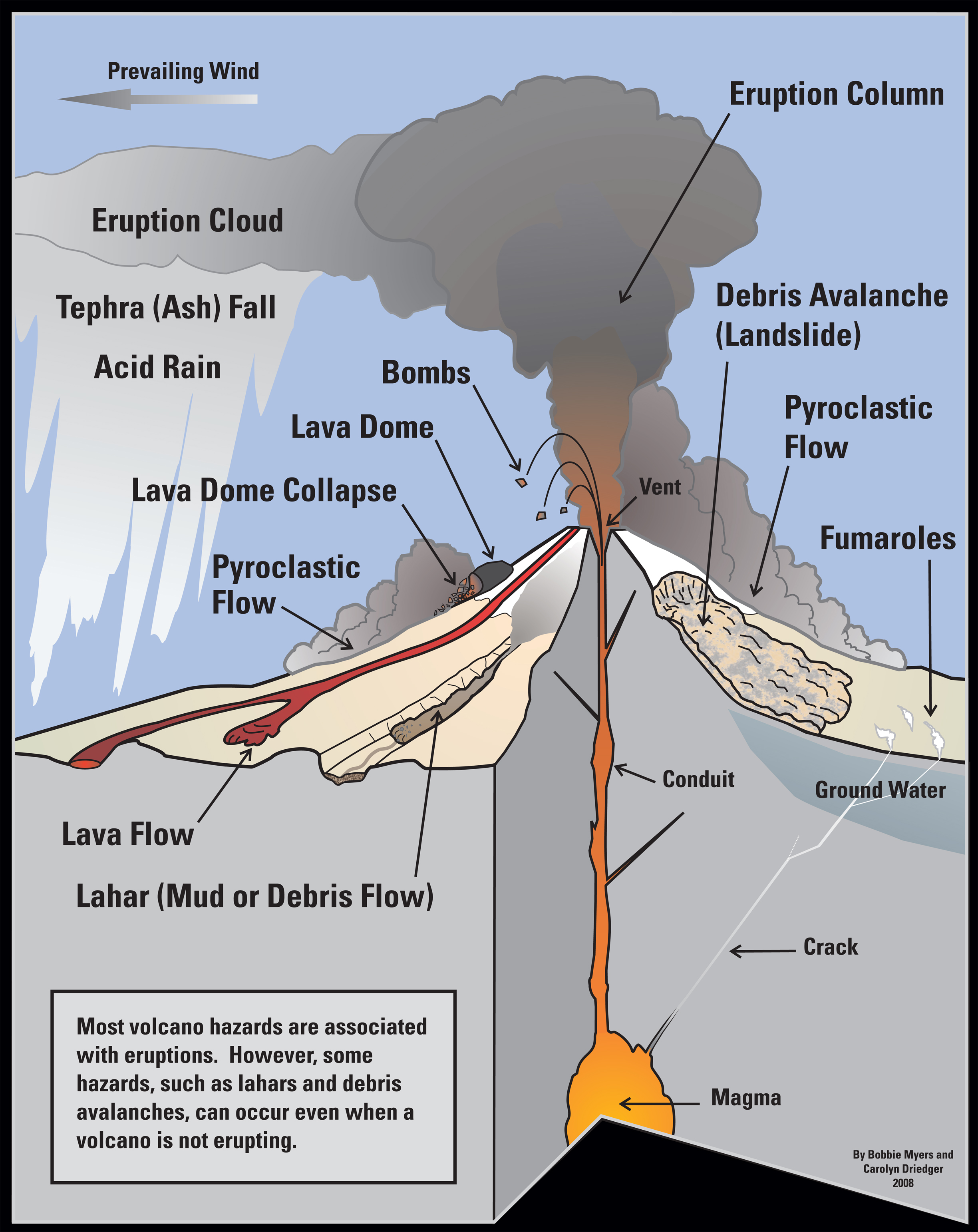
Types of Volcanic Hazards
Lava flows and fountains Volcanic ash and tephra Pyroclastic flows Volcanic gases Ground deformation

Primary vs Secondary Hazards
{"left":"Direct effects from eruption\nLava flows\nVolcanic projectiles\nToxic gases","right":"Infrastructure damage from ash\nTransport disruption\nHealth impacts\nEconomic losses"}

Auckland's Unique Challenges
1.7 million people in volcanic field Dense urban development Critical infrastructure at risk Limited evacuation routes International airport location
Risk Assessment Activity
In pairs, identify 3 major risks for Auckland if a new volcano formed Consider: location, population, infrastructure Think about: immediate vs long-term impacts Present your findings to the class

Volcanic Alert Levels
Level 0: No volcanic unrest Level 1: Minor volcanic unrest Level 2: Moderate to heightened unrest Level 3: Minor eruption Level 4: Moderate eruption Level 5: Major eruption
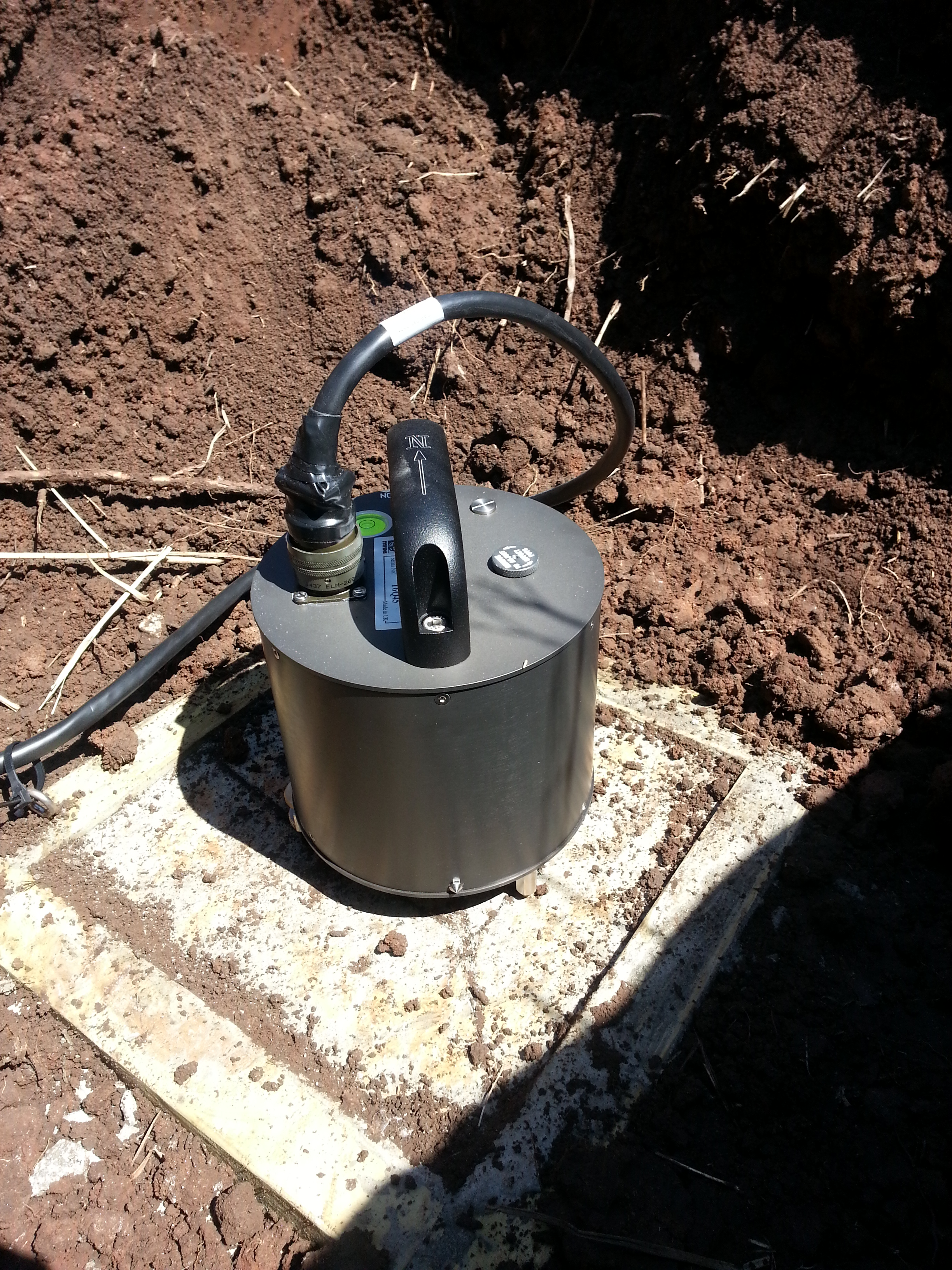
Early Warning Systems
Seismic monitoring networks Ground deformation measurements Gas emission monitoring Thermal imaging Emergency alert systems
Critical Thinking
How much warning time would be ideal for Auckland evacuation? What factors would affect evacuation success? Who should be evacuated first?

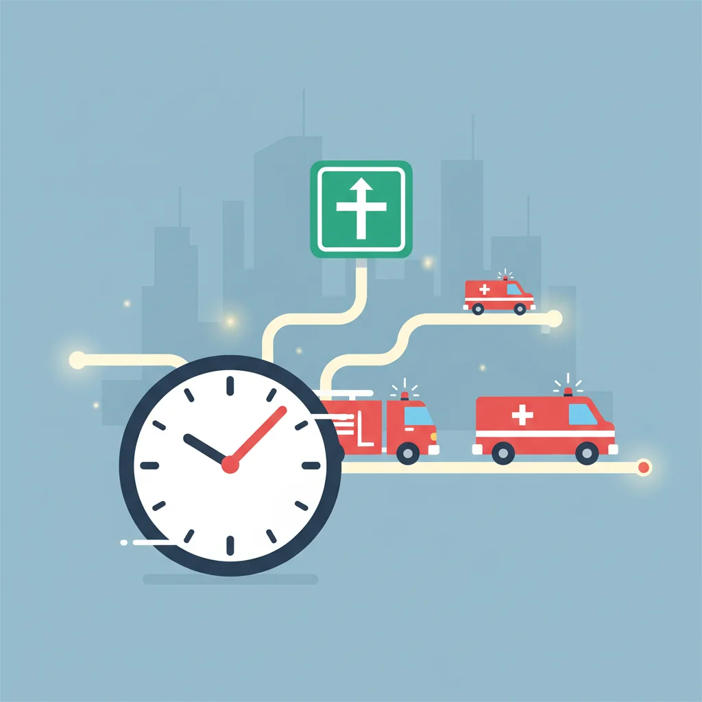
Auckland Evacuation Zones
8 more slides available after you open the deck.
Download all 20 slides