Cook Islands Research Quest
A free social sciences worksheet ready for your classroom. Open in Kuraplan to grab the print-ready PDF, customize it for your students, or generate a fresh version in seconds.
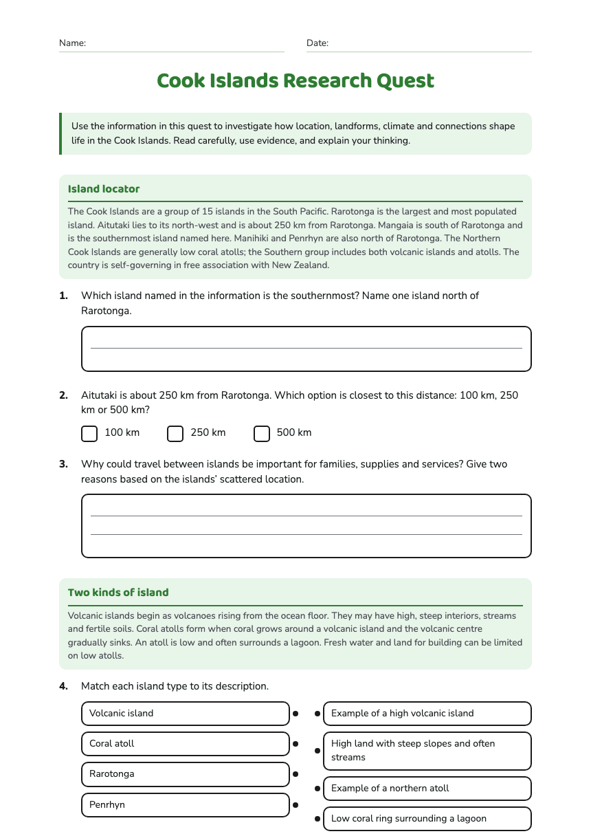
Cook Islands Research Quest
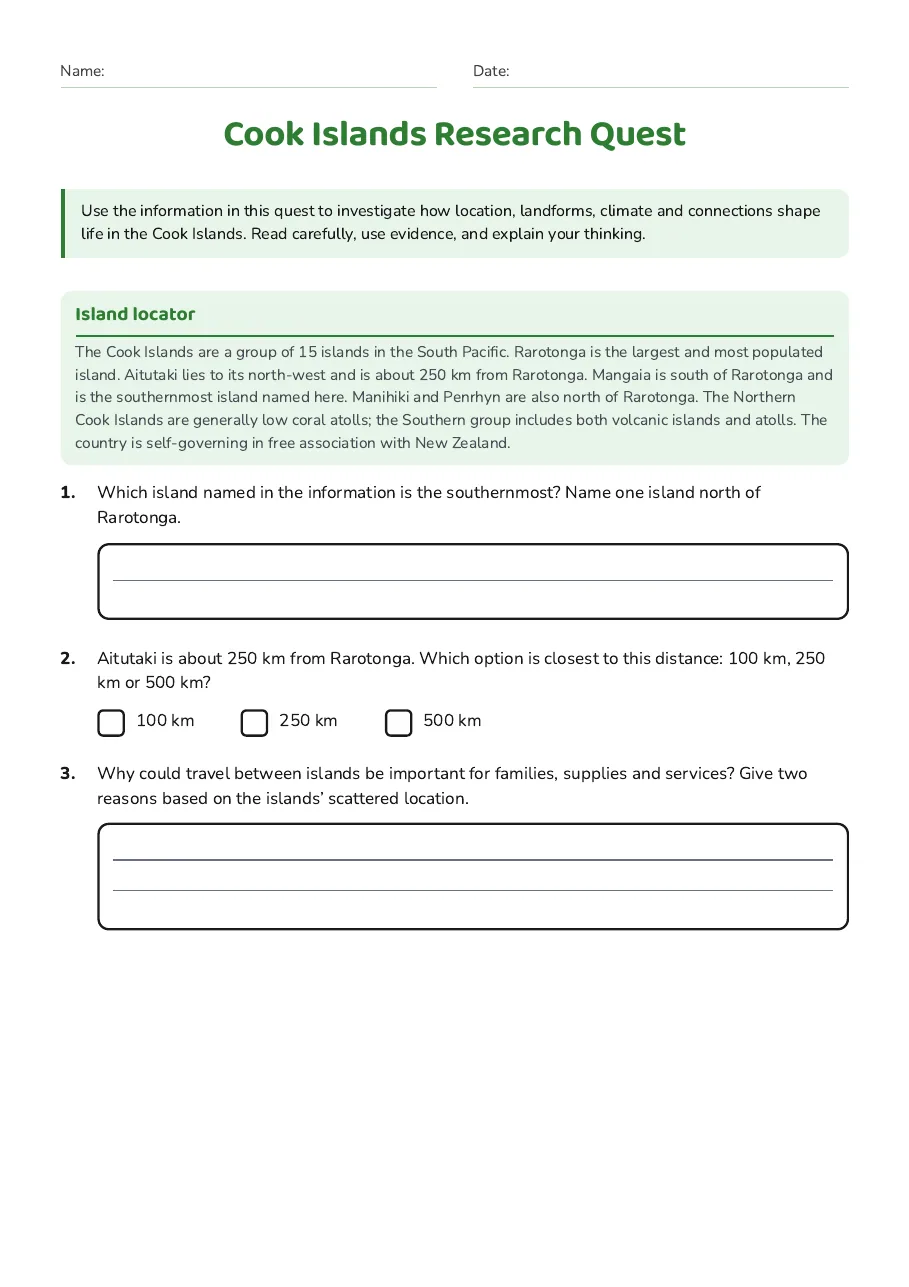
Island locator
The Cook Islands are a group of 15 islands in the South Pacific. Rarotonga is the largest and most populated island. Aitutaki lies to its north-west and is about 250 km from Rarotonga. Mangaia is south of Rarotonga and is the southernmost island named here. Manihiki and Penrhyn are also north of Rarotonga. The Northern Cook Islands are generally low coral atolls; the Southern group includes both volcanic islands and atolls. The country is self-governing in free association with New Zealand.
- 100 km
- 250 km
- 500 km
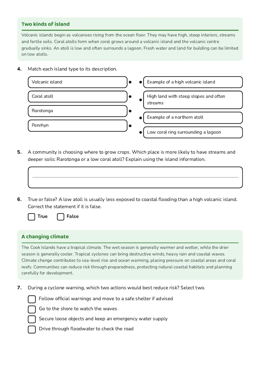
Two kinds of island
Volcanic islands begin as volcanoes rising from the ocean floor. They may have high, steep interiors, streams and fertile soils. Coral atolls form when coral grows around a volcanic island and the volcanic centre gradually sinks. An atoll is low and often surrounds a lagoon. Fresh water and land for building can be limited on low atolls.
- Volcanic island
- Coral atoll
- Rarotonga
- Penrhyn
- Example of a high volcanic island
- High land with steep slopes and often streams
- Example of a northern atoll
- Low coral ring surrounding a lagoon
A changing climate
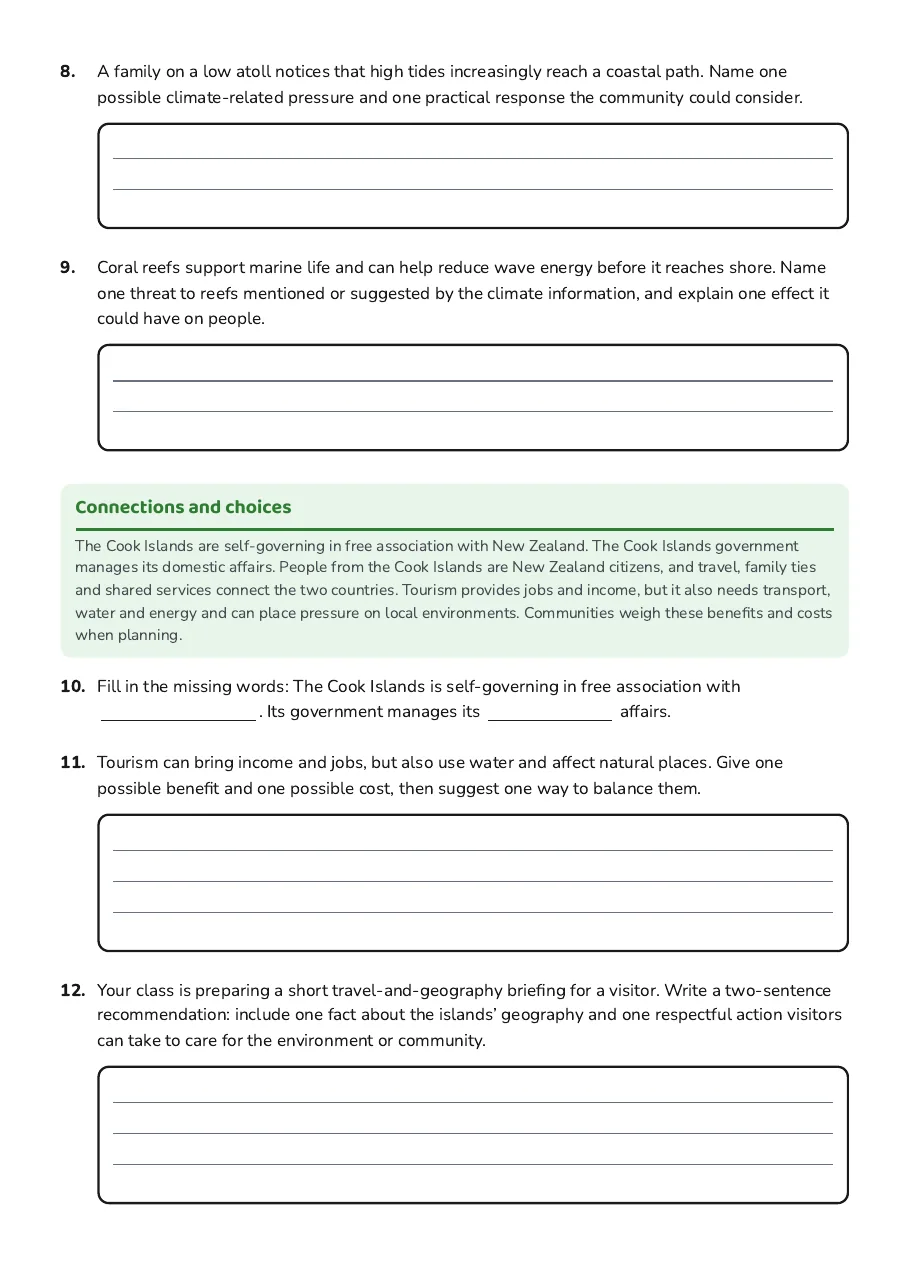
The Cook Islands have a tropical climate. The wet season is generally warmer and wetter, while the drier season is generally cooler. Tropical cyclones can bring destructive winds, heavy rain and coastal waves. Climate change contributes to sea-level rise and ocean warming, placing pressure on coastal areas and coral reefs. Communities can reduce risk through preparedness, protecting natural coastal habitats and planning carefully for development.
- Follow official warnings and move to a safe shelter if advised
- Go to the shore to watch the waves
- Secure loose objects and keep an emergency water supply
- Drive through floodwater to check the road
Connections and choices
The Cook Islands are self-governing in free association with New Zealand. The Cook Islands government manages its domestic affairs. People from the Cook Islands are New Zealand citizens, and travel, family ties and shared services connect the two countries. Tourism provides jobs and income, but it also needs transport, water and energy and can place pressure on local environments. Communities weigh these benefits and costs when planning.
3 printable pages
Page 1
Page 2
Page 3
About This Worksheet
Free in Kuraplan
Sign up free, grab the PDF, and customize it for your class.
Print-Ready
Formatted for standard paper. Clean layout, easy to read.
AI-Generated
Created with Kuraplan's AI, designed for real classroom use.
For Teachers & Parents
Use in classrooms, for homework, tutoring, or homeschool.
Need a custom version of this worksheet?
Kuraplan's AI generates custom worksheets in seconds — differentiated for every learner, aligned to your curriculum.
Generate Custom Worksheets — FreeMore Social Sciences Worksheets
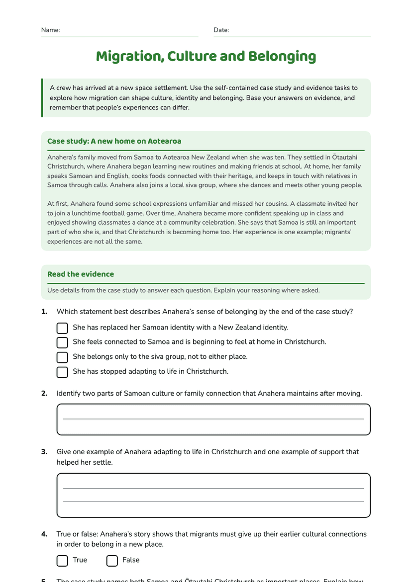
Migration, Culture and Belonging
Free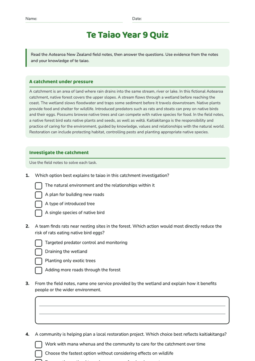
Te Taiao Year 9 Quiz
Free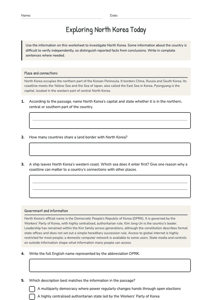
Exploring North Korea Today
Free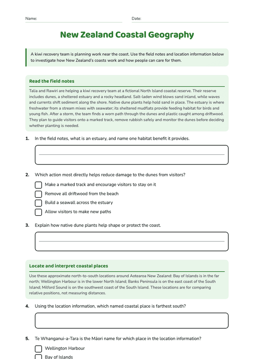
New Zealand Coastal Geography
Free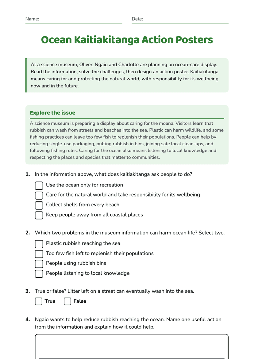
Ocean Kaitiakitanga Action Posters
Free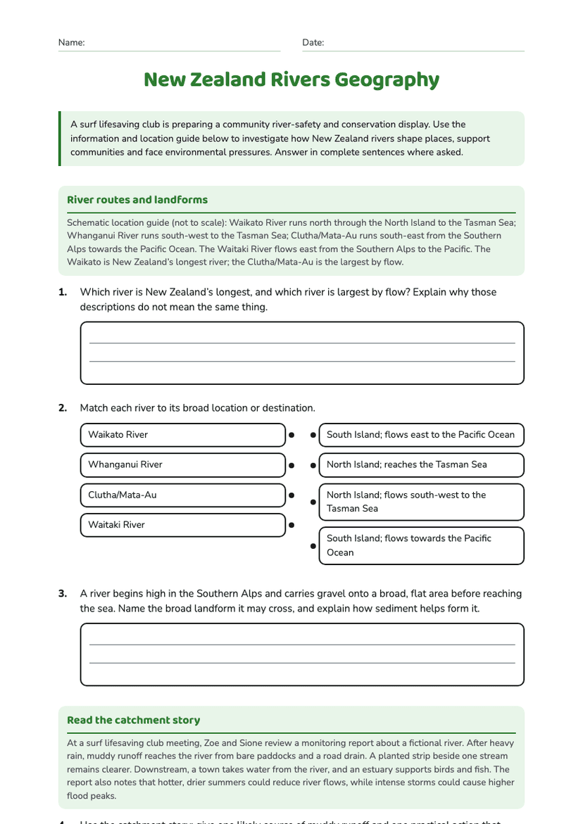
New Zealand Rivers Geography
Free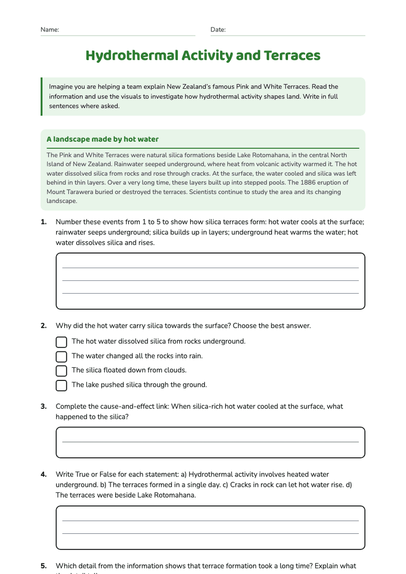
Hydrothermal Activity and Terraces
Free