Exploring Fortnite's Geography: Maps and Features
Year 6 Geography Understanding spatial relationships through gaming Maps, symbols, and geographical features

Learning Objectives & Success Criteria
Identify different geographical features on maps Understand how map symbols represent real features Analyse spatial relationships between locations Create simple maps using appropriate symbols SUCCESS: I can name 5 geographical features and their symbols

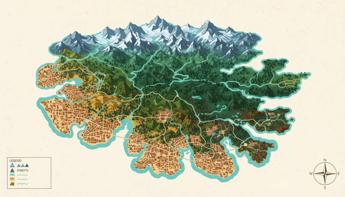
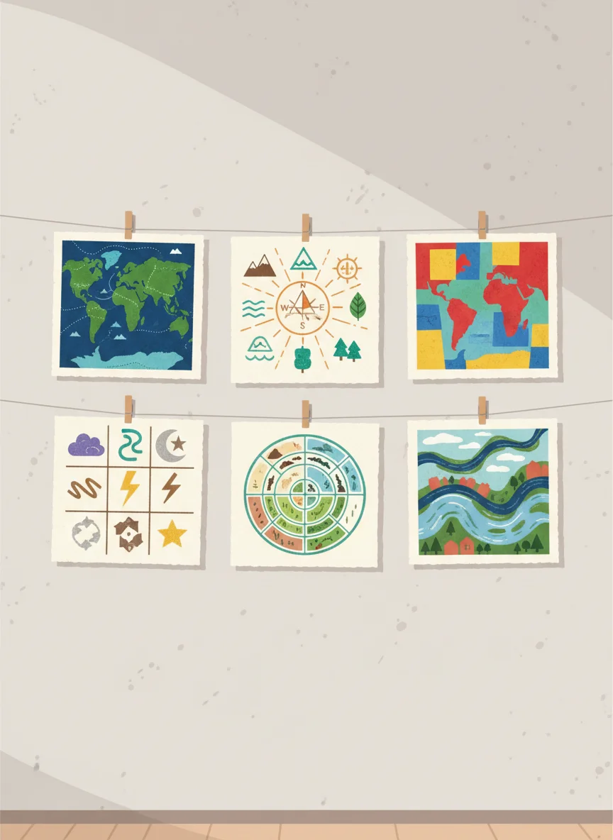
What is a Map?
Think about maps you've seen before How do they help us understand places? What information do they show us?
Fortnite's Island: A Geographic Case Study
The island is like a miniature continent Contains multiple biomes and landscapes Urban areas, natural features, and landmarks Players navigate using spatial awareness Perfect example of how geography affects movement and strategy

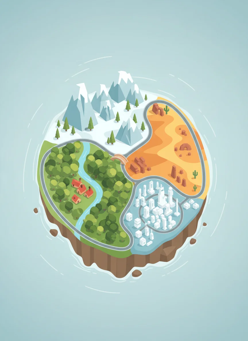
Physical vs Human Geography Features
{"left":"Mountains and hills\nRivers and lakes\nForests and grasslands\nCoastlines and beaches","right":"Cities and towns\nRoads and bridges\nBuildings and structures\nFarms and industrial areas"}
Map Symbol Detective
Match the symbol to the feature 🏔️ Mountains 🌊 Water/Rivers 🏘️ Built-up areas 🌲 Forests ✈️ Airport ⛽ Petrol station
Reading Fortnite's Landscape

Spatial Relationships: Why Location Matters
Distance affects travel time and strategy Height gives advantages (high ground) Water bodies create barriers and boundaries Resources are found in specific locations Weather patterns follow geographical features
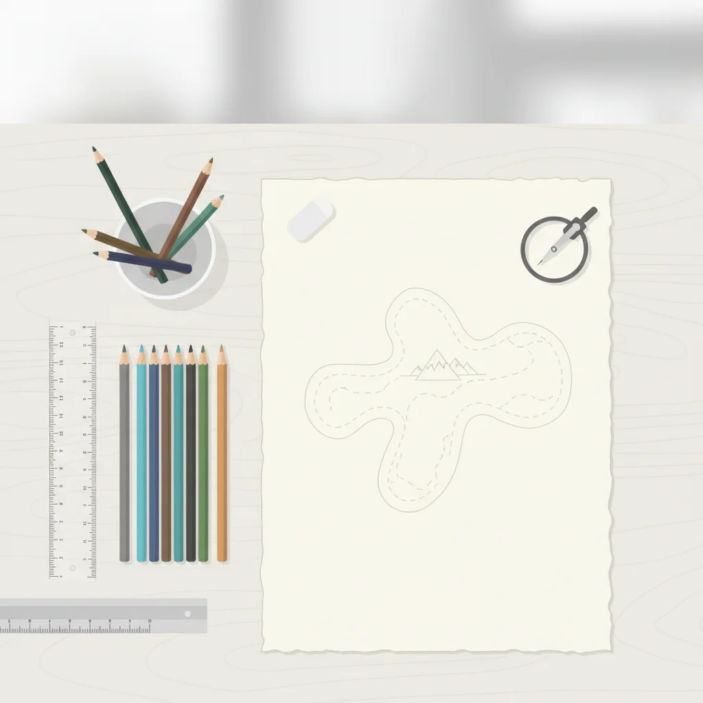
Design Your Own Island
Draw a simple map of your ideal island Include at least 5 different geographical features Use proper map symbols Add a compass rose and legend Think about how features connect to each other
Lesson Summary & Next Steps
We explored how maps represent real places Learned to identify physical and human features Understood why location and distance matter Practiced using map symbols correctly HOMEWORK: Find a real map and identify 5 features using symbols