
AI for Geography Teachers
Plan engaging geography lessons, build map activities and bring physical and human geography to life — without spending your weekends planning.
Generate map skills lessons, biome and ecosystem units, climate and tectonic plate diagrams, fieldwork prep and case studies in minutes. Kuraplan's AI understands geography pedagogy, the global-to-local lens, and the difference between physical and human geography so every lesson lands.
Features Built for Geography Teachers
Discover how Kuraplan's AI tools are specifically designed to help geography educators
Geography Presentation Slides
Build map-rich slideshows that walk students through physical processes and human stories. Layer satellite imagery, labelled diagrams and case-study photos to make abstract concepts concrete.
Geography Lesson Plans Aligned to Curriculum
Generate complete geography lesson plans mapped to your curriculum — UK KS1–KS4, US Social Studies, NZ Social Sciences, AU HASS. Includes enquiry questions, fieldwork suggestions and differentiation.
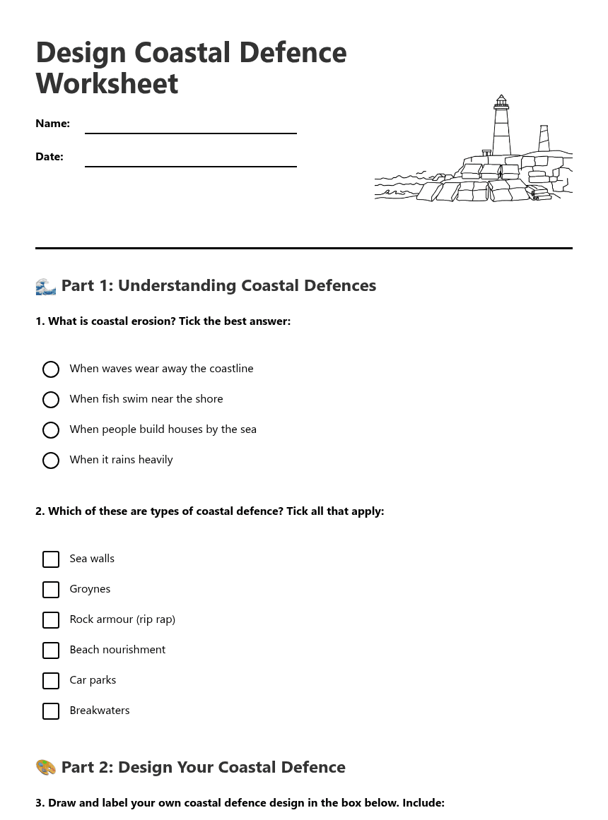
Map Skills & Geography Worksheets
Create labelled-diagram worksheets, compass and grid-reference tasks, climate-graph readers, case-study analysis sheets and fieldwork data templates — all in seconds.
Geography Diagrams & Maps
Generate cross-section diagrams (volcanoes, glaciers, rivers, mountains), biome scenes, weather charts, and labelled landform illustrations. Built from a teacher-curated library plus AI for anything custom.
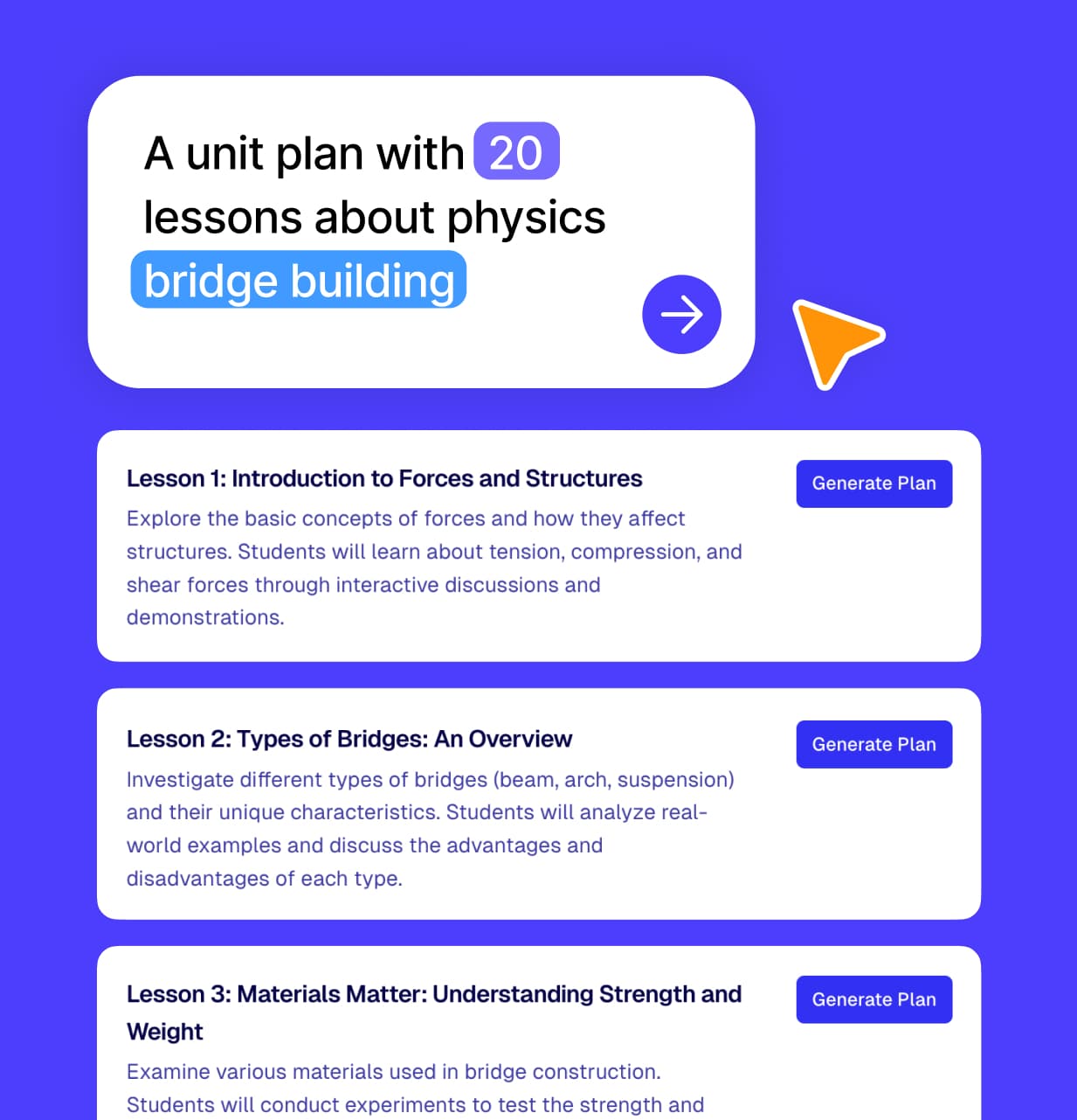
Full Geography Units
Sequence whole units around big enquiry questions — "Why are tropical rainforests important?", "How are coastlines shaped?", "What makes a sustainable city?". Includes assessments and end-of-unit projects.
Geography Teaching Assistant
Ask for fresh case studies, fieldwork ideas, current-affairs hooks, or how to scaffold a tricky concept like tectonics for lower-attainers. Your AI co-planner knows the geography curriculum.
Geography Lesson Plan Examples
Explore ready-to-use lesson plans created by geography teachers
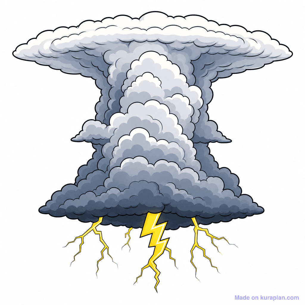
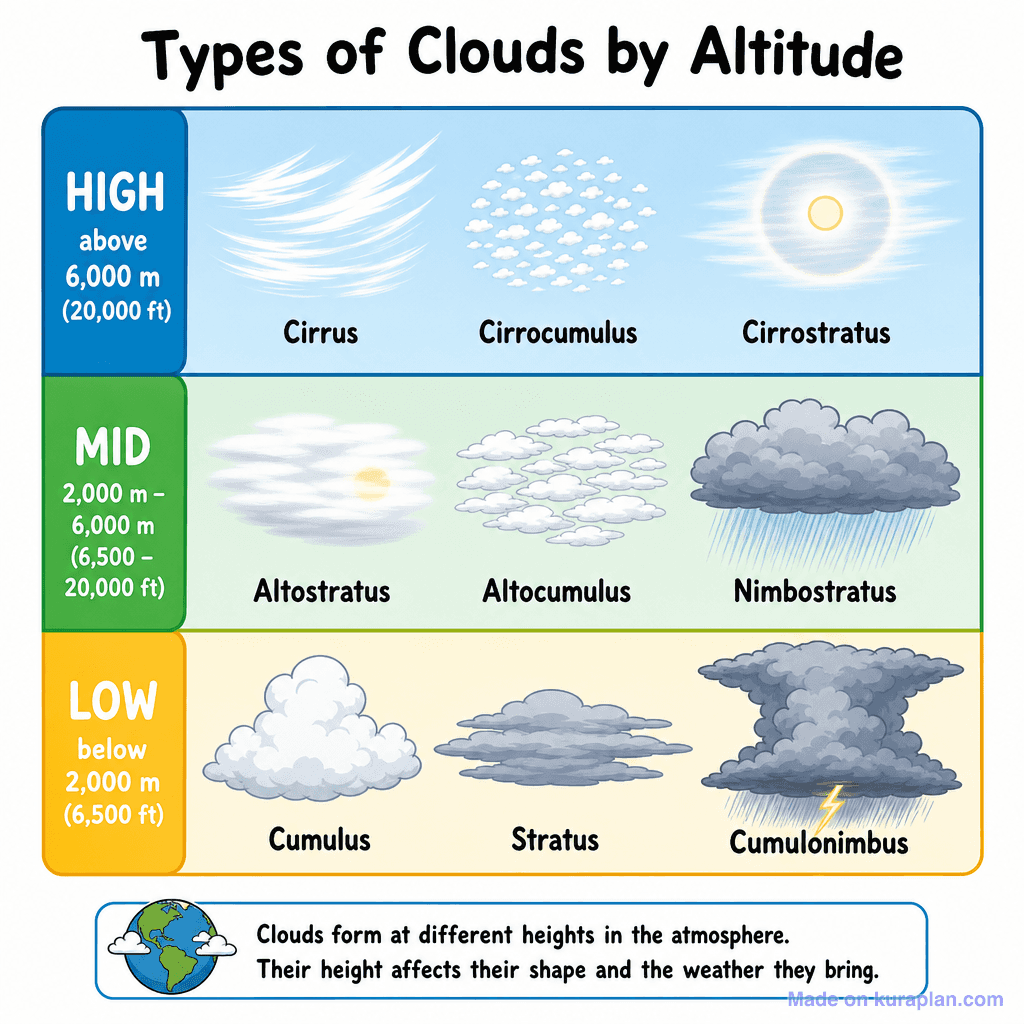
Popular Clipart for Geography Teachers
Free printable geography illustrations and diagrams — labelled, classroom-ready, CC BY-NC 4.0
Free Geography Worksheets
Ready-to-print worksheets used by geography teachers
Geography Teaching Slides
Ready-to-teach slide decks aligned to the geography curriculum


Why Geography Teachers Love Kuraplan
Geography Teaching Is Wide, Deep and Time-Consuming
Geography teachers have to hold the whole world in their head. One week it's plate tectonics and the rock cycle, the next it's migration patterns or sustainable cities. Each lesson needs the right map, the right case study, the right diagram and the right level of differentiation. Add fieldwork planning, exam case studies and constantly shifting current affairs and the prep load is enormous. Most geography teachers spend evenings hunting for resources, redrawing diagrams that already exist somewhere, and adapting case studies that have gone out of date.
AI Frees You to Teach the Subject You Love
Kuraplan's AI doesn't replace your subject expertise — it speeds up everything around it. Drop in an objective like "Year 8 plate tectonics — why earthquakes happen" and you get a full lesson plan with starter, modelled diagram, paired enquiry task, differentiated worksheets and exit ticket in under a minute. The AI is trained on geography pedagogy, not generic teaching, so it knows when to lean on map work, when to use a case study, and when fieldwork is the right approach.
Maps, Diagrams and Visuals — Generated Instantly
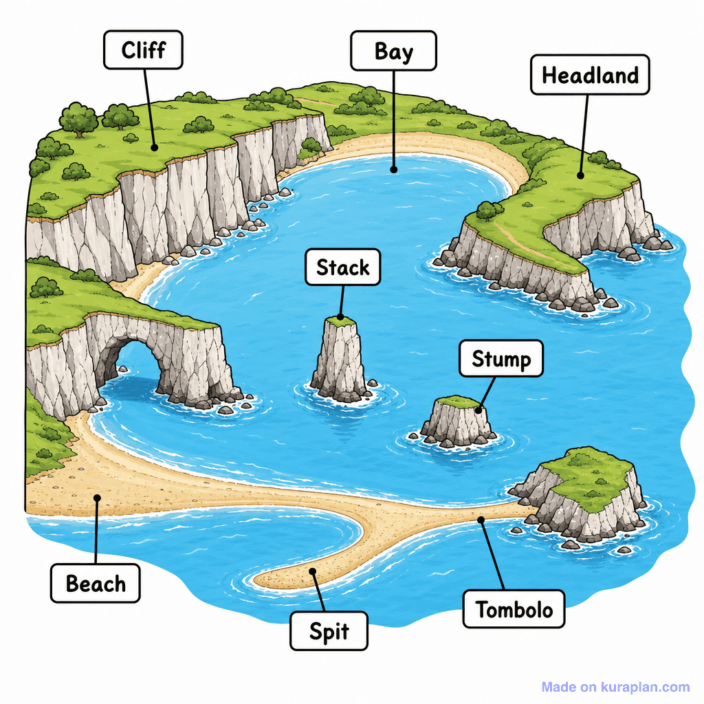
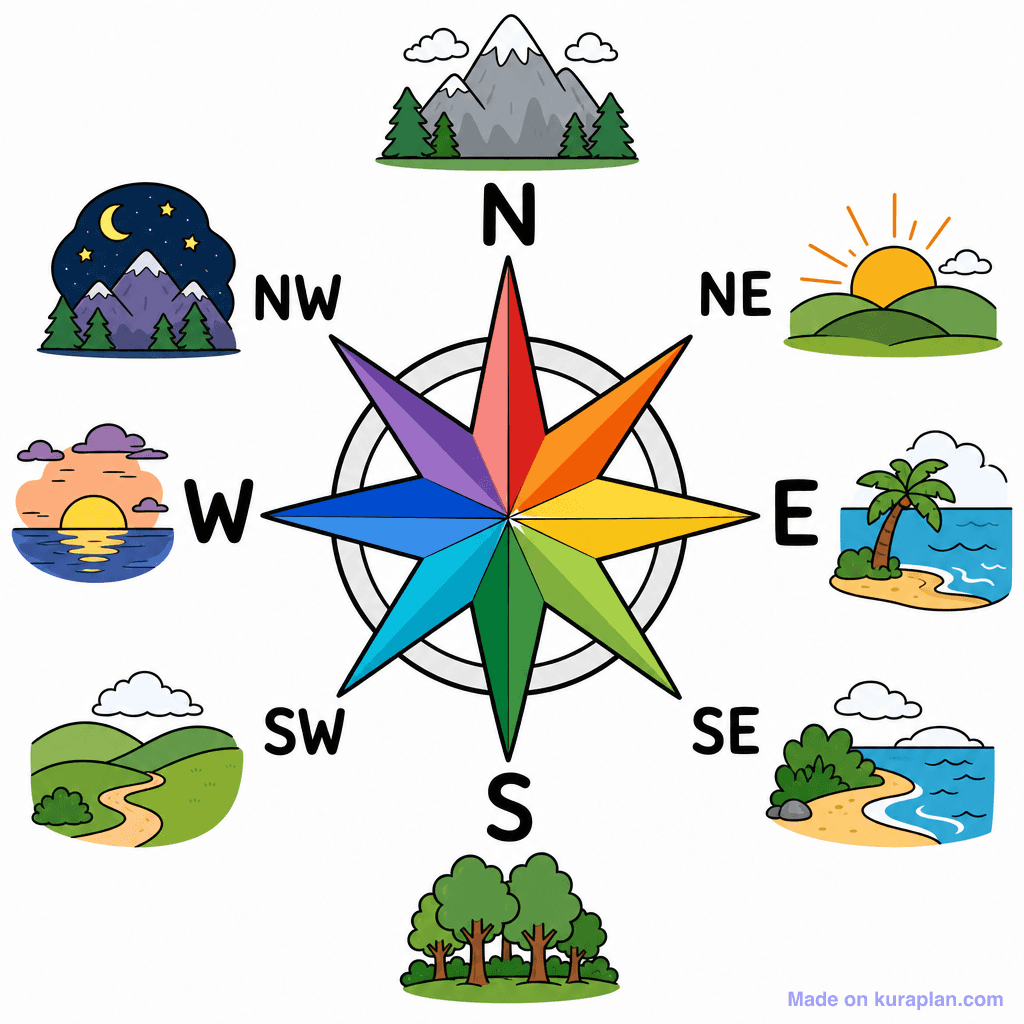
Geography is a visual subject. Kuraplan ships with a curated library of labelled geography illustrations — compass roses (4, 8 and 16 point), volcano cross-sections, river and coastal landform diagrams, biome scenes, weather symbols and cloud-types charts. You can drop them straight into worksheets and slides, or ask AI to generate custom diagrams for niche topics. No more searching Google Images for diagrams with awkward watermarks or wrong labels.
Case Studies That Stay Current
The hardest part of geography teaching is keeping case studies fresh. Last year's flood, last decade's migration story — they get stale fast. Kuraplan's AI can generate up-to-date case study summaries on demand, complete with student-friendly comprehension questions, data sets and discussion prompts. You stay in control of accuracy; the AI handles the heavy lifting of structuring the material into a lesson-ready format.
Built for KS, Grade Level and Hemisphere
Kuraplan understands that "Year 7" in the UK isn't the same as "Grade 7" in the US, and that Australian and New Zealand curricula have their own structures (HASS, Social Sciences). Set your locale once and every lesson, worksheet and unit plan is calibrated to your curriculum — including locally relevant case studies. Teach the Murray–Darling in Australia, the Whanganui in NZ, the Thames in the UK or the Mississippi in the US without rewriting from scratch.
Join Thousands of Geography Teachers Saving Hours Weekly
Whether you teach KS3 geography, GCSE, A-Level, AP Human Geography, NCEA Social Sciences or AU HASS, Kuraplan helps you do more of what matters: opening students' eyes to how the world works. Less time formatting worksheets, more time leading enquiry. Get started free and see how much time you can claw back this term.
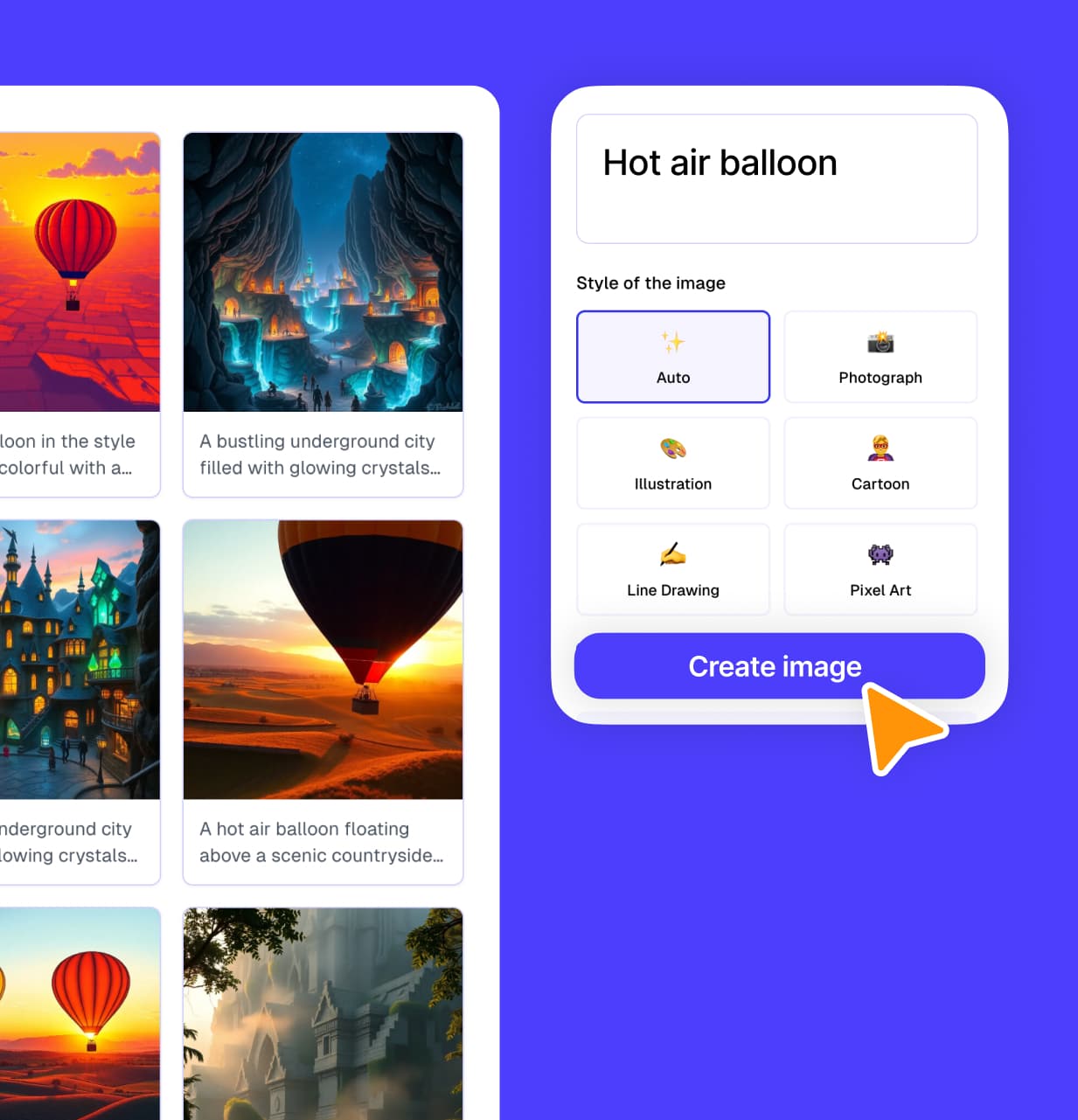
Create your own geography lesson in seconds
Kuraplan's AI builds curriculum-aligned lessons, worksheets and slides - free to try.