Exploring GIS with Digimap
Year 7 Geography Understanding Geographic Information Systems Interactive Digital Mapping
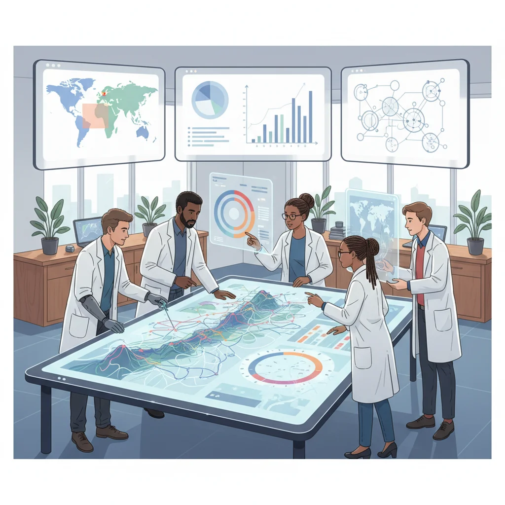
What is GIS?
Geographic Information Systems Digital maps that store and analyze spatial data Combines geography with computer technology Used by scientists, planners, and governments Examples: Google Maps, weather tracking, emergency services

Think-Pair-Share
Where have you used digital maps before? What information can you see on these maps? How might digital maps help people in different jobs?
Meet Digimap
Professional mapping platform used in schools and universities Created by Ordnance Survey - the UK's national mapping agency Access to detailed maps of the entire UK Multiple map layers and tools for analysis Same technology used by professional geographers

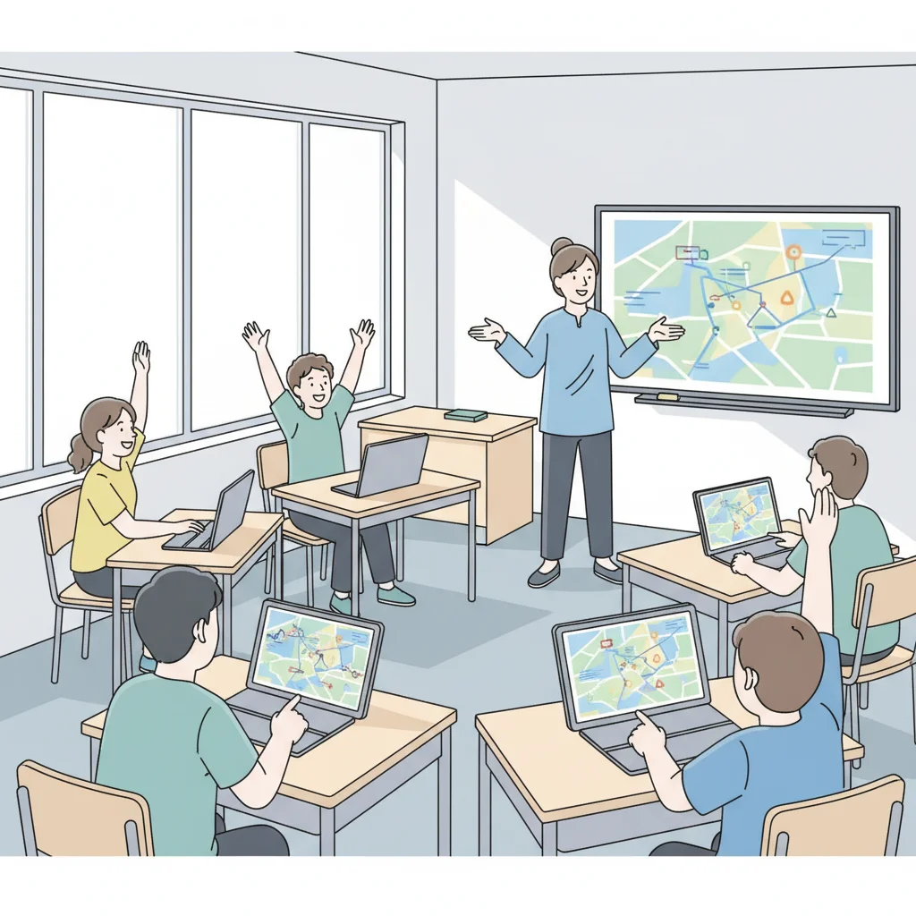
Digimap Login and Navigation
Log into Digimap using school credentials Practice zooming in and out Try panning around the map Find your school location Explore different map views

Understanding Map Layers
{"left":"Base Maps: Show basic geographic features like roads and buildings\nTopographic Maps: Display elevation, contours, and landscape features\nAerial Photos: Real satellite and aircraft images of the ground","right":"Historical Maps: Compare how places looked in the past\nLand Use: Show how land is used for farming, housing, or industry\nTransport: Highlight roads, railways, and transport networks"}
Local Area Mapping Challenge
Find your local area on Digimap Switch between at least 3 different map layers Identify 5 key features (rivers, parks, schools, roads) Take a screenshot or sketch your findings Compare what you see in different layers
The Power of GIS
'GIS is a powerful tool that helps us understand our world by revealing patterns and relationships we might never see otherwise.'
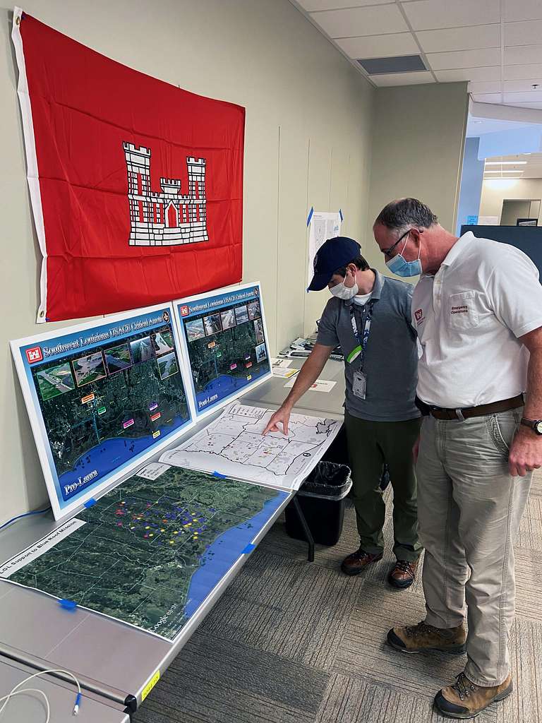
Real-World GIS Applications
Emergency Services: Finding fastest routes to accidents Environmental Protection: Tracking deforestation and pollution Urban Planning: Designing new neighborhoods and transport Disaster Response: Coordinating relief efforts during floods or earthquakes Conservation: Protecting endangered species habitats Business: Choosing locations for new shops and restaurants
Reflection and Next Steps
What was the most interesting feature you discovered in your local area? How could GIS help solve a problem in your community? What would you like to explore further with digital mapping?