GeographyFreePrintable
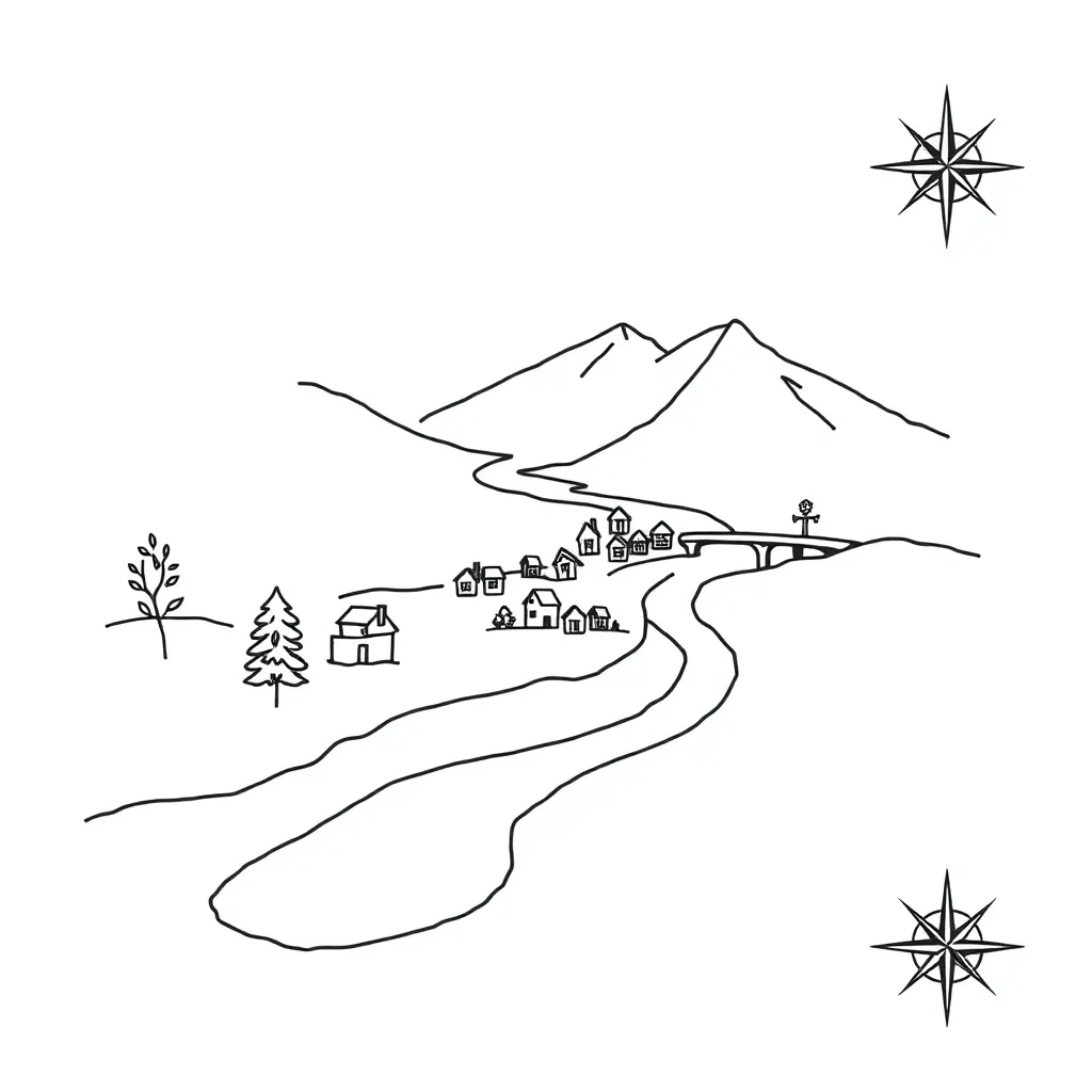
Local Area Mapping Skills
A free geography worksheet ready for your classroom. Open in Kuraplan to grab the print-ready PDF, customize it for your students, or generate a fresh version in seconds.

Local Area Mapping Skills
🗺️ Part 1: Map Reading Skills
1. Which of these is the most important feature of a map?
Bright colours
A key to explain symbols
Large size
Fancy border
2. What do the four main compass points stand for?
N = _____________ E = _____________ S = _____________ W = _____________
3. Circle all the features you might find on a local area map:
School
Library
Park
Ocean
Shop
Mountain range
4. If you walk from the school heading towards the setting sun, which direction are you travelling?
North
East
South
West
📍 Part 2: Map Symbols and Grid References
5. Draw simple map symbols for these features:
Church: _____ Tree: _____ Road: _____ River: _____
6. Explain why maps use symbols instead of pictures:
7. If a map shows that 1cm = 100 metres, how far apart are two buildings that are 3cm apart on the map?
8. What information should always be included in a map key?
🎯 Part 3: Local Area Challenge
9. Design a simple map of your route from home to school. Include:
• At least 3 landmarks • A compass rose • A simple key • One main road
10. Name two reasons why good map skills are useful in everyday life:
About This Worksheet
Free in Kuraplan
Sign up free, grab the PDF, and customize it for your class.
Print-Ready
Formatted for standard paper. Clean layout, easy to read.
AI-Generated
Created with Kuraplan's AI, designed for real classroom use.
For Teachers & Parents
Use in classrooms, for homework, tutoring, or homeschool.
Need a custom version of this worksheet?
Kuraplan's AI generates custom worksheets in seconds — differentiated for every learner, aligned to your curriculum.
Generate Custom Worksheets — Free No credit card Curriculum-aligned Under 60 seconds
More Geography Worksheets

Year 10
Surfing Waves Geography Worksheet
Free
Year 5
Geography Shapes Lives
Free
Year 9–13
Polyfest Geography Knowledge Check
Free
Year 7–8
African Human Geography
Free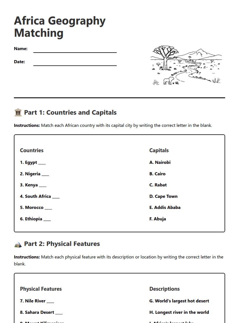
Year 6–8
Africa Geography Matching
Free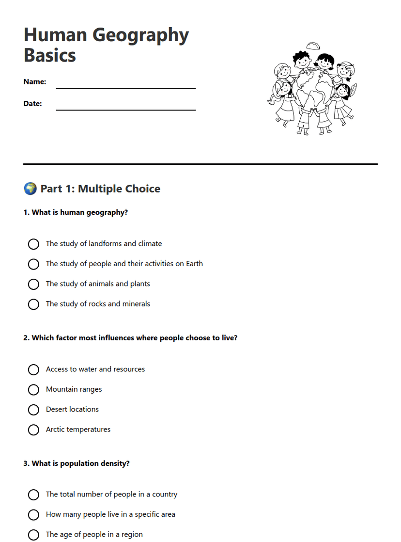
Year 6–8
Human Geography Basics
Free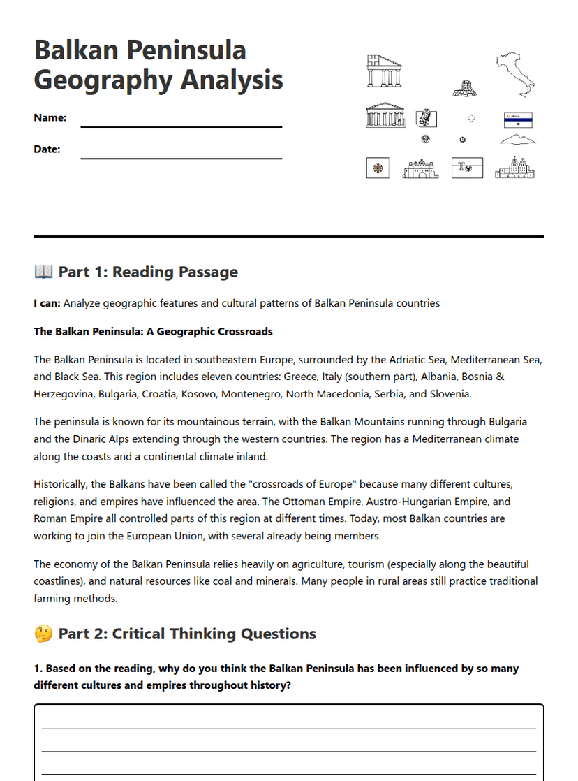
Year 10
Balkan Peninsula Geography Analysis
Free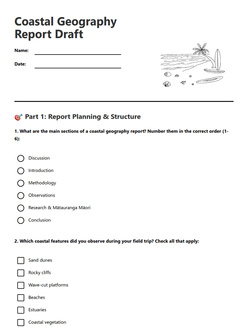
Year 9