Settlement Conurbation Aerial — free printable diagram
Free geography resource for teachers · CC BY-NC 4.0
About this illustration
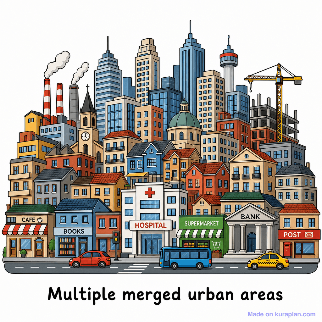
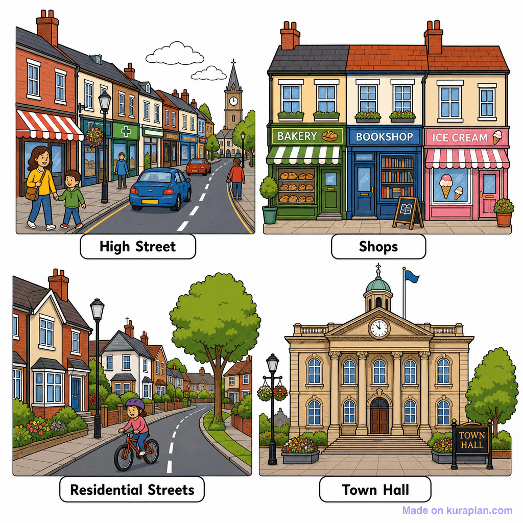
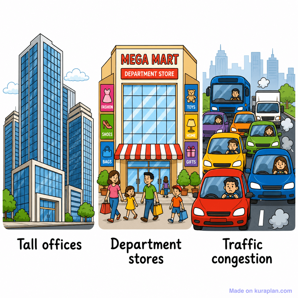
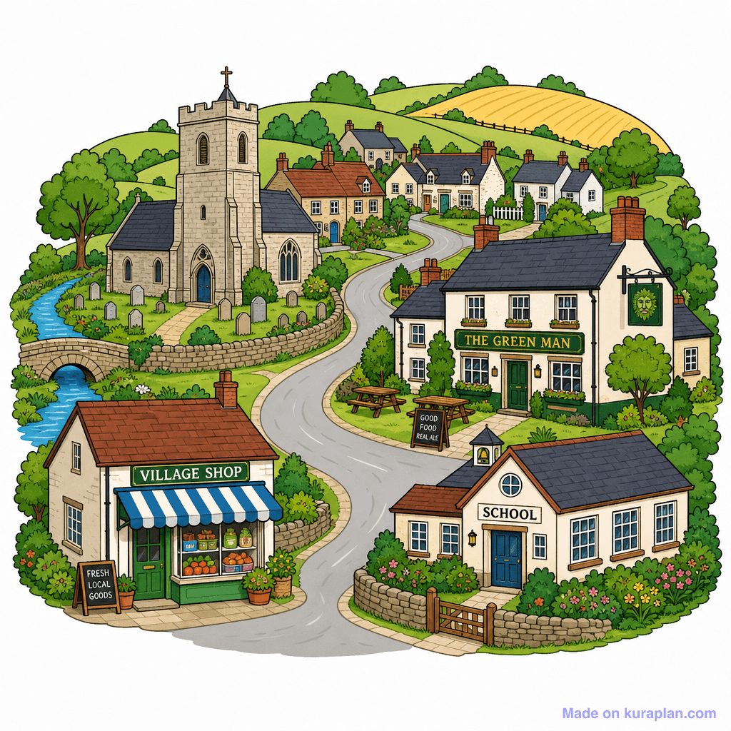
This colorful, detailed illustration depicts a vibrant, bustling city scene with a mix of residential, commercial, and industrial buildings, including skyscrapers, houses, a church, factories, a hospital, supermarket, bank, cafe, bookstore, and post office. Vehicles like a car, bus, and taxi are on the street, alongside a construction crane. It teaches about urban environments, community services, types of buildings, infrastructure, and different areas within a city, highlighting how various functions coexist. The architecture and services shown are generic to many modern Western cities, without specific cultural or geographical markers. Ideal for worksheets involving labeling different building types or community services, slide presentations on urban planning or community studies, or as a visual prompt for discussions on city life and local amenities. The visual style is a detailed, flat illustration presented as a cohesive urban scene with clear outlines and bright colors.
How to use
- 1Right-click the image and choose “Save image as”, or use the download button.
- 2Use it in your classroom worksheets, slides or printables — free under CC BY-NC 4.0.
- 3Attribute as “Image by Kuraplan” or link back to kuraplan.com. Not for commercial resale.
Make worksheets with images like this
Kuraplan's editor has the full image library built in — drag-and-drop into a worksheet in seconds.
Related illustrations
More from Settlement & Urban


Browse by subject
10 subjects · 1,487 free illustrations


