FreePrintable
Historical World Maps
A free, printable general worksheet ready for your classroom. Download instantly, print, and hand out to your students — no account needed.
Historical World Maps
🗺️ Part 1: Finding Places on Old Maps
1. Circle the places you can find on a 1900s world map:
South Africa
Rhodesia
Portuguese East Africa
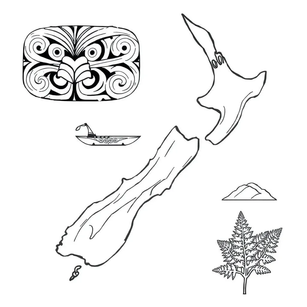
New Zealand
2. What do we call New Zealand in te reo Māori?
Aotearoa
Australia
Africa
3. Maps help us to:
Find where places are in the world
Cook dinner
Tell the time
4. Rhodesia is now called:
Zimbabwe
South Africa
New Zealand
✏️ Part 2: Maps and Changes
5. Fill in the blanks:
Maps can ____________ over time because countries sometimes change their ____________.
6. Why do you think place names might change over time?
7. What is one thing that was different about the 1900s map compared to maps today?
8. Name one continent you can see on a world map:
___________________
🎨 Part 3: My Map Adventure
9. Draw a simple map of New Zealand/Aotearoa in the box below. Add labels for places you know:
10. What was the most interesting thing you learned about old maps today?
About This Worksheet
Free Download
No sign-up, no email, no paywall. Just download and print.
Print-Ready
Formatted for standard paper. Clean layout, easy to read.
AI-Generated
Created with Kuraplan's AI, designed for real classroom use.
For Teachers & Parents
Use in classrooms, for homework, tutoring, or homeschool.
Need a custom version of this worksheet?
Kuraplan's AI generates custom worksheets in seconds — differentiated for every learner, aligned to your curriculum.
Generate Custom Worksheets — Free No credit card Curriculum-aligned Under 60 seconds