Urban Inner City Terraced — free printable diagram
Free geography resource for teachers · CC BY-NC 4.0
About this illustration
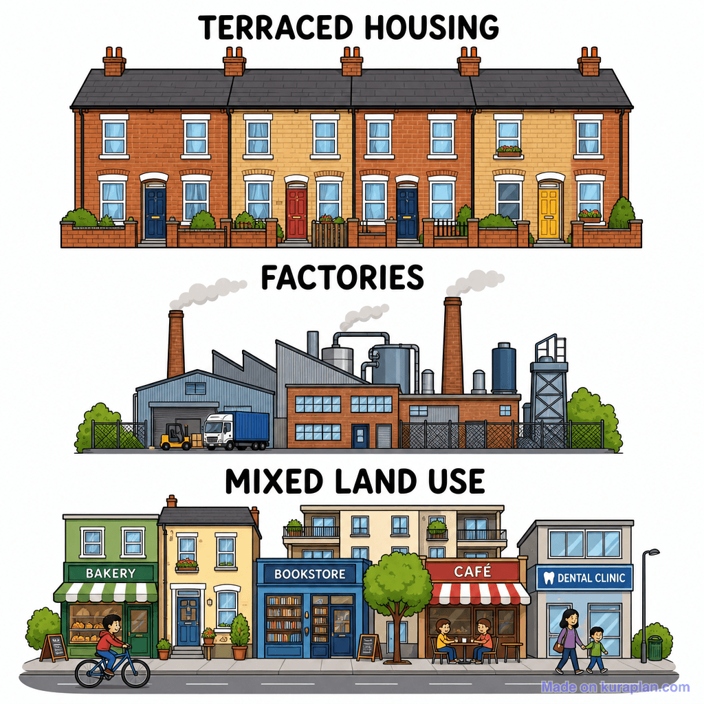
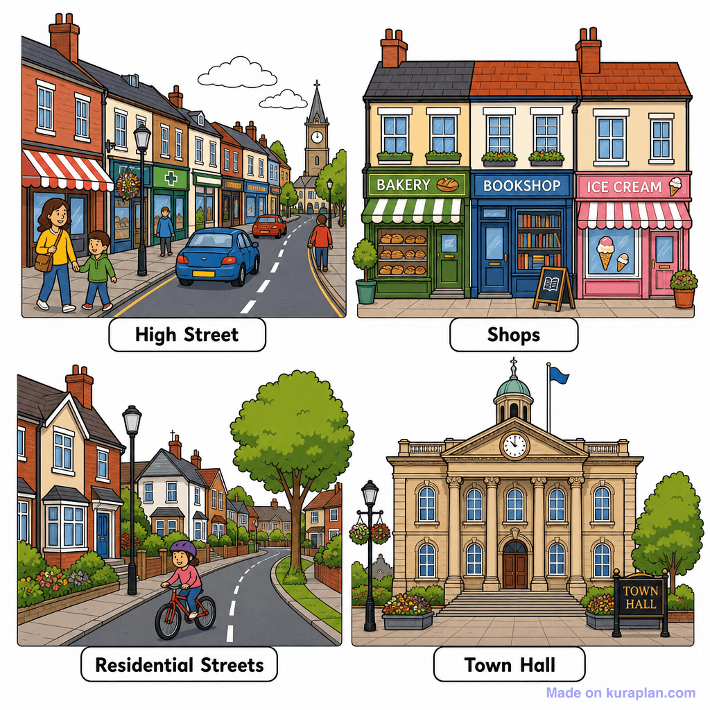
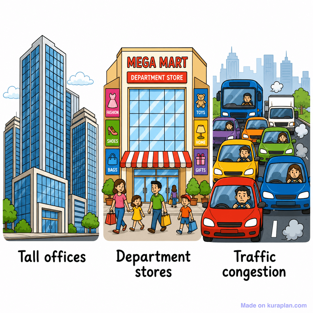
This educational image depicts three distinct panels illustrating different types of urban land use, each clearly labeled. The top panel shows 'TERRACED HOUSING' with a row of brick houses, a common sight in UK and European cities. The middle panel displays 'FACTORIES' with industrial buildings, smokestacks, and vehicles, representing industrial zones. The bottom panel, labeled 'MIXED LAND USE', features a vibrant street scene with ground-floor shops (Bakery, Bookstore, Café, Dental Clinic) and residential apartments above, populated by people cycling and walking. This resource is ideal for geography or social studies lessons on human environments, urban planning, and land use classification, suitable for slides or worksheets comparing different city areas. The visual style is a clear, flat illustration with cartoon-like elements and bright colors.
How to use
- 1Right-click the image and choose “Save image as”, or use the download button.
- 2Use it in your classroom worksheets, slides or printables — free under CC BY-NC 4.0.
- 3Attribute as “Image by Kuraplan” or link back to kuraplan.com. Not for commercial resale.
Make worksheets with images like this
Kuraplan's editor has the full image library built in — drag-and-drop into a worksheet in seconds.
Related illustrations
More from Settlement & Urban

Browse by subject
10 subjects · 1,487 free illustrations


