Commonwealth Mapping Activity
A free social sciences worksheet ready for your classroom. Open in Kuraplan to grab the print-ready PDF, customize it for your students, or generate a fresh version in seconds.
Commonwealth Mapping Activity
🎯 WALT (We Are Learning To)
Locate Commonwealth countries on a world map and identify geographical patterns
Success Criteria:
✓ I can locate at least 8 Commonwealth countries on a map
✓ I can identify which continent/region Commonwealth countries belong to
✓ I can explain one connection between Commonwealth countries
✓ I can interpret map legends and symbols
🔊 Dyslexia-friendly tip: Ask your teacher to read questions aloud if needed
🗺️ Part 1: Map Reading Warm-up
Hint: Use the map in your textbook or atlas to help locate these countries
🌍 Part 2: Commonwealth Regions
Countries to classify: Nigeria, Pakistan, Malaysia, Ghana, Bangladesh, Kenya, Sri Lanka, Singapore
Africa: ________________________________
Asia: ________________________________
Think about: shared history, language, government systems, or location
Challenge: Can you find the total number of Commonwealth member countries? ________
📊 Teacher Answer Key
1. Commonwealth and non-Commonwealth countries
2. [Varies by map - typically blue or red]
3. Teacher to check map labelling
4. Africa
5. Africa: Nigeria, Ghana, Kenya; Asia: Pakistan, Malaysia, Bangladesh, Sri Lanka, Singapore
6. Jamaica, Sri Lanka, Malta, Cyprus
7. Sample answer: Historical connection through British Empire/shared English language/similar legal systems
8. Examples: Malta, Cyprus, Jamaica, Fiji, etc. Total: 54 countries
Differentiation Support:
• Provide atlas/world map reference
• Allow pair work for map reading
• Offer word bank for struggling readers
• Use larger print maps for visual support
About This Worksheet
Free in Kuraplan
Sign up free, grab the PDF, and customize it for your class.
Print-Ready
Formatted for standard paper. Clean layout, easy to read.
AI-Generated
Created with Kuraplan's AI, designed for real classroom use.
For Teachers & Parents
Use in classrooms, for homework, tutoring, or homeschool.
Need a custom version of this worksheet?
Kuraplan's AI generates custom worksheets in seconds — differentiated for every learner, aligned to your curriculum.
Generate Custom Worksheets — FreeMore Social Sciences Worksheets
Migration, Culture and Belonging
Free
Te Taiao Year 9 Quiz
Free
Exploring North Korea Today
Free
New Zealand Coastal Geography
Free
Ocean Kaitiakitanga Action Posters
Free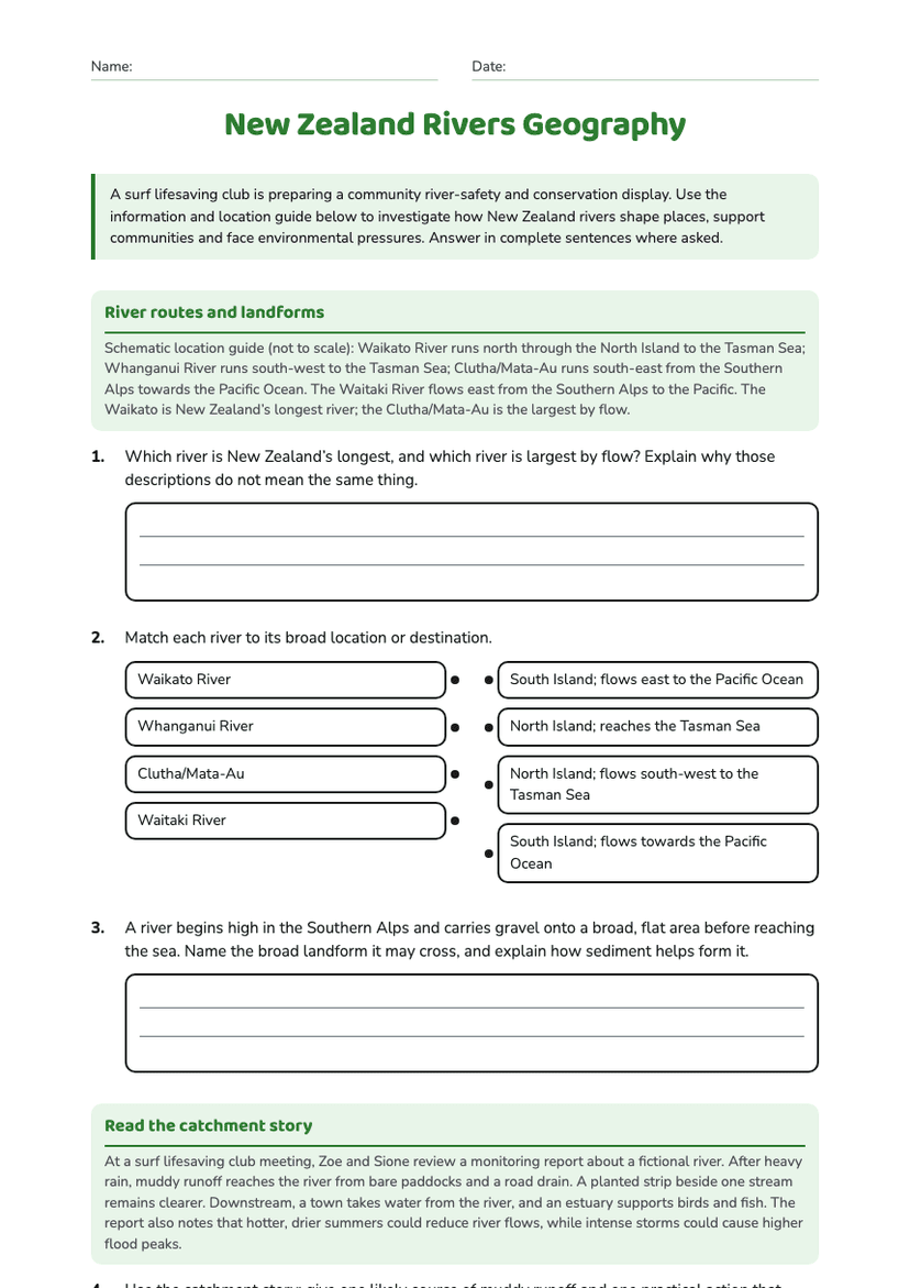
New Zealand Rivers Geography
Free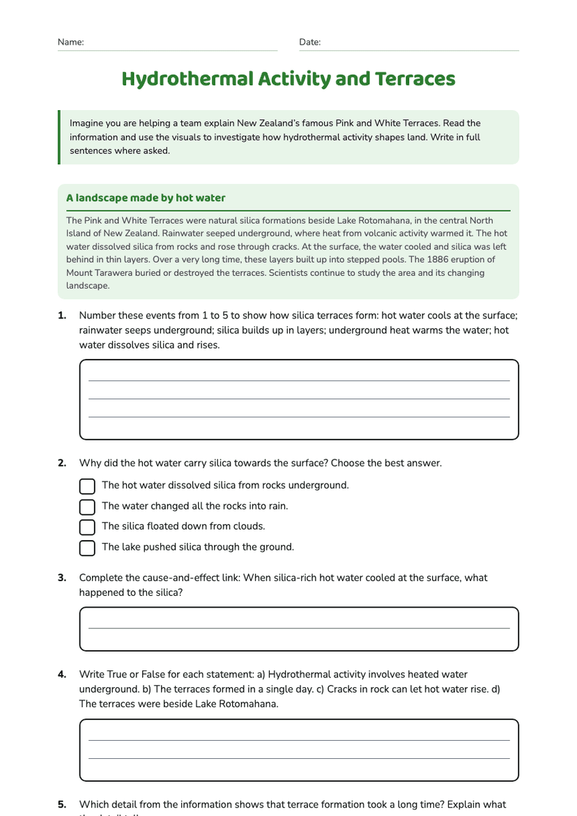
Hydrothermal Activity and Terraces
Free