Social SciencesFreePrintable

Introduction to Map Features

A free social sciences worksheet ready for your classroom. Open in Kuraplan to grab the print-ready PDF, customize it for your students, or generate a fresh version in seconds.
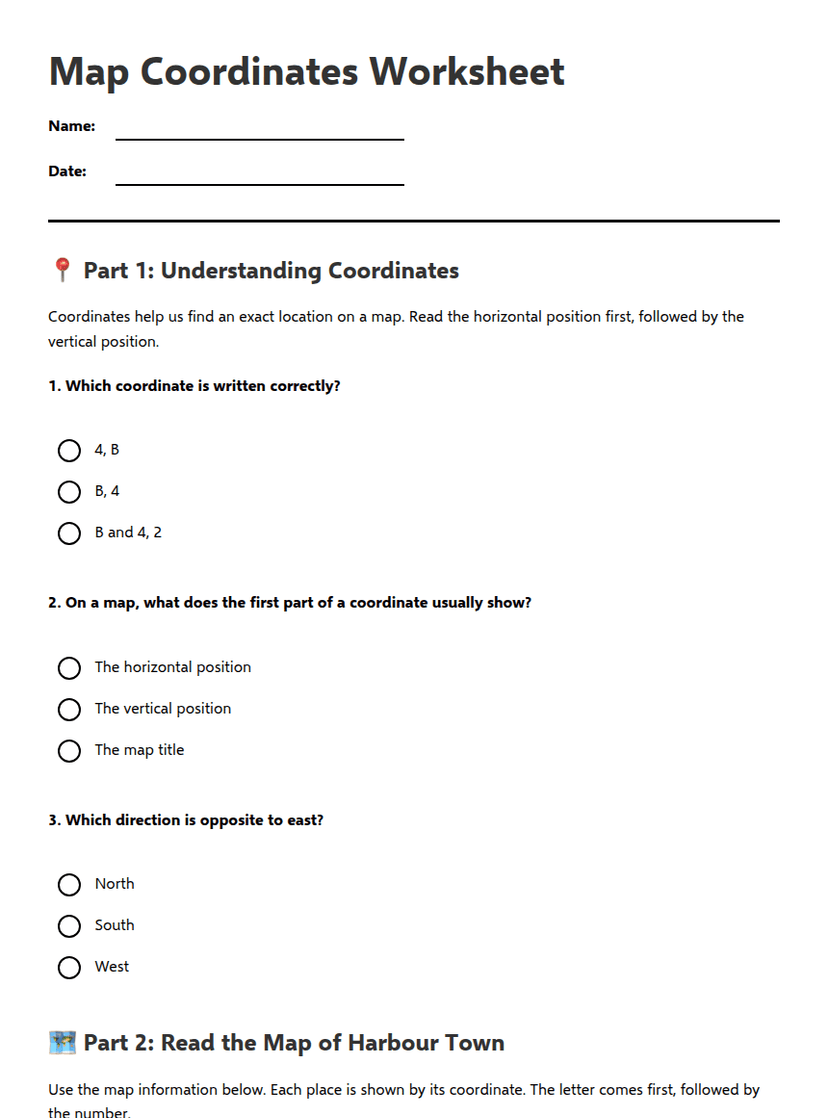
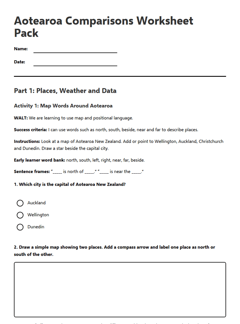
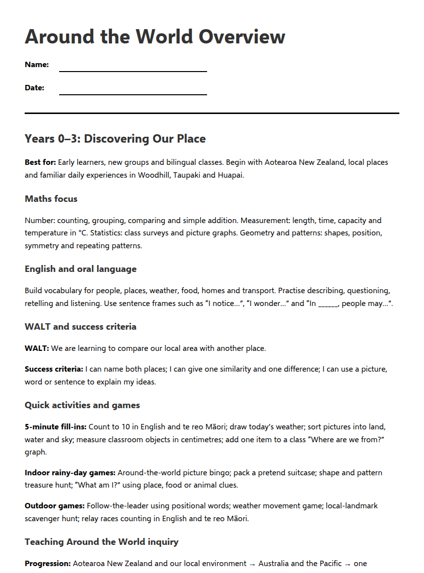
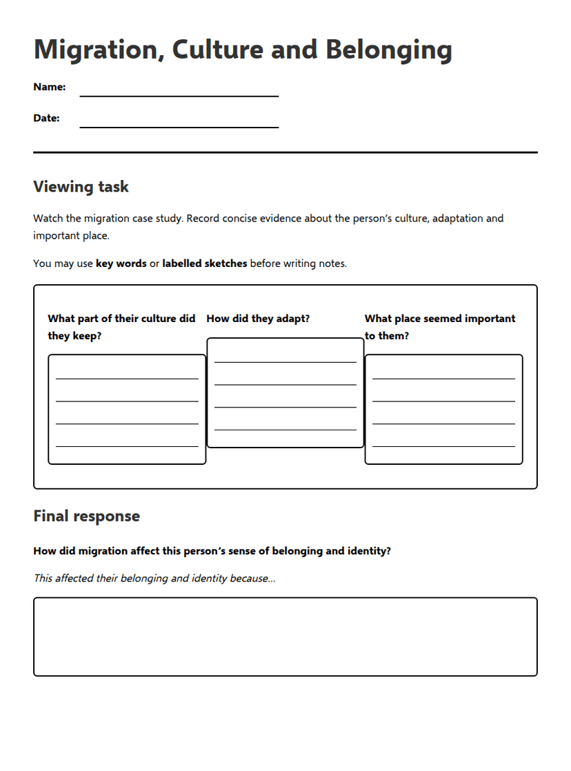
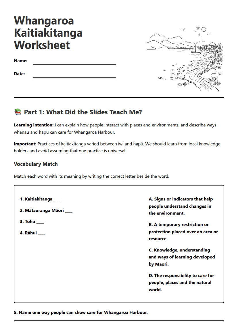
Introduction to Map Features worksheet preview
Introduction to Map Features

Map with compass and features illustration

📍 Part 1: Map Feature Knowledge

1. Which map feature shows the relationship between distances on a map and real-world distances?

Key (Legend)

Scale

Frame

Title

2. What is the main purpose of a map's key or legend?

To show direction

To explain symbols and colours used

To indicate the map's boundaries

To show elevation

3. Which features help you understand direction on a map? (Select all that apply)

North arrow

Compass rose

Scale bar

Directional indicators

4. Complete this sentence: The _________ of a map tells you what area or topic the map is showing.

Answer: _________________________

5. What does the frame of a map do?

Shows the map's boundaries and contains all information

Indicates north direction

Explains map symbols

Shows distance measurements

🗺️ Part 2: Map Analysis

6. Look at any map in your classroom or textbook. List the five essential map features you can identify:

1. Frame:

2. Arrow/Direction:

3. Colour:

4. Key/Legend:

5. Title:

6. Scale:

7. Explain why colours are important on maps. Give two specific examples of how colour helps map readers.
8. Imagine you're creating a map of your school. Write an appropriate title and describe what symbols you would include in the key.

Map Title:

Key Symbols (describe 4):

1.

2.

3.

4.

🎯 Part 3: Critical Thinking

9. Why do you think digital maps (like Google Maps) still use the same essential features as traditional paper maps? Explain your reasoning.
10. You're planning a tramping trip in New Zealand. Rank these map features in order of importance for your safety (1 = most important, 5 = least important). Explain your top choice.

_____ Scale (to measure distances)

_____ North arrow (for direction)

_____ Topographic colours (showing elevation)

_____ Key/Legend (explaining symbols)

_____ Title (showing the area covered)

Explanation for your #1 choice:

✅ Answer Key

1. Correct Answer: Scale
2. Correct Answer: To explain symbols and colours used
3. Correct Answers: North arrow, Compass rose
4. Sample Answer: Title
5. Correct Answer: Shows the map's boundaries and contains all information
6. Sample Features: Frame, Arrow/Direction, Colour, Key/Legend, Title, Scale
7. Sample Answer: Colours help differentiate between various features, such as using blue for water and green for parks.
8. Sample Map Title: "My School Map". Sample Key Symbols: 1. Classroom (symbol), 2. Playground (symbol), 3. Cafeteria (symbol), 4. Office (symbol).
9. Sample Answer: Digital maps use essential features for consistency and user familiarity, making navigation easier.
10. Sample Ranking: 1. Scale, 2. North arrow, 3. Topographic colours, 4. Key/Legend, 5. Title. Explanation: Scale is crucial for measuring distances accurately.

About This Worksheet

Free in Kuraplan

Sign up free, grab the PDF, and customize it for your class.

Print-Ready

Formatted for standard paper. Clean layout, easy to read.

AI-Generated

Created with Kuraplan's AI, designed for real classroom use.

For Teachers & Parents

Use in classrooms, for homework, tutoring, or homeschool.

Need a custom version of this worksheet?

Kuraplan's AI generates custom worksheets in seconds — differentiated for every learner, aligned to your curriculum.

Generate Custom Worksheets — Free
No credit card Curriculum-aligned Under 60 seconds