Traditional and Modern Voyaging
A free social sciences worksheet ready for your classroom. Open in Kuraplan to grab the print-ready PDF, customize it for your students, or generate a fresh version in seconds.
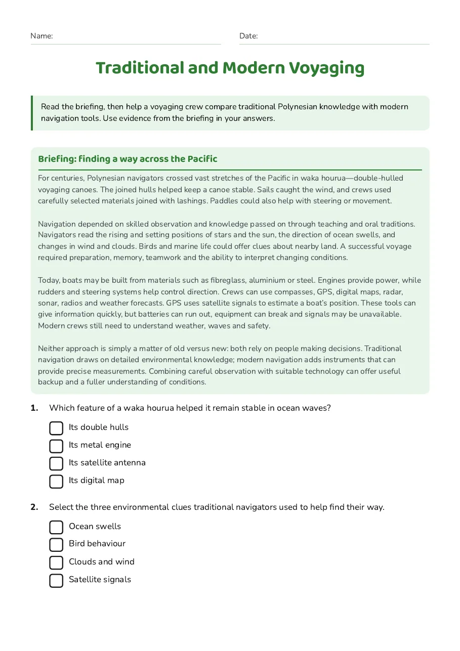
Traditional and Modern Voyaging
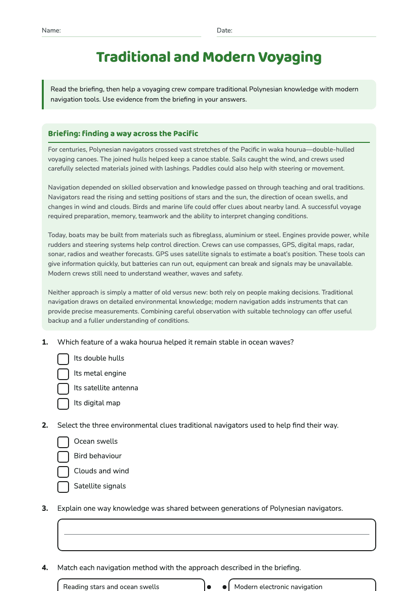
Briefing: finding a way across the Pacific
For centuries, Polynesian navigators crossed vast stretches of the Pacific in waka hourua—double-hulled voyaging canoes. The joined hulls helped keep a canoe stable. Sails caught the wind, and crews used carefully selected materials joined with lashings. Paddles could also help with steering or movement. Navigation depended on skilled observation and knowledge passed on through teaching and oral traditions. Navigators read the rising and setting positions of stars and the sun, the direction of ocean swells, and changes in wind and clouds. Birds and marine life could offer clues about nearby land. A successful voyage required preparation, memory, teamwork and the ability to interpret changing conditions. Today, boats may be built from materials such as fibreglass, aluminium or steel. Engines provide power, while rudders and steering systems help control direction. Crews can use compasses, GPS, digital maps, radar, sonar, radios and weather forecasts. GPS uses satellite signals to estimate a boat’s position. These tools can give information quickly, but batteries can run out, equipment can break and signals may be unavailable. Modern crews still need to understand weather, waves and safety. Neither approach is simply a matter of old versus new: both rely on people making decisions. Traditional navigation draws on detailed environmental knowledge; modern navigation adds instruments that can provide precise measurements. Combining careful observation with suitable technology can offer useful backup and a fuller understanding of conditions.
- Its double hulls
- Its metal engine
- Its satellite antenna
- Its digital map
- Ocean swells
- Bird behaviour
- Clouds and wind
- Satellite signals
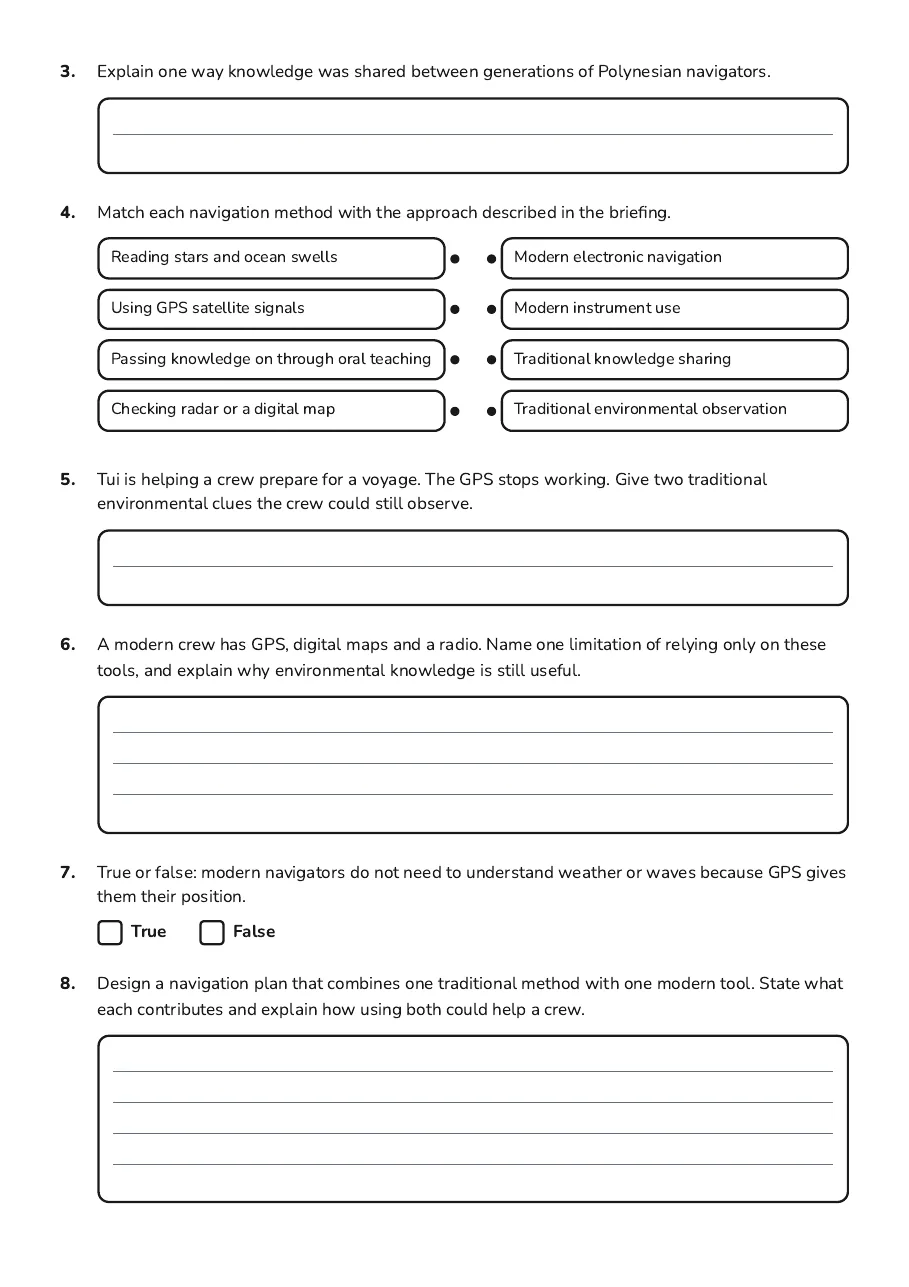
- Reading stars and ocean swells
- Using GPS satellite signals
- Passing knowledge on through oral teaching
- Checking radar or a digital map
- Modern electronic navigation
- Modern instrument use
- Traditional knowledge sharing
- Traditional environmental observation
3 printable pages
Page 1
Page 2
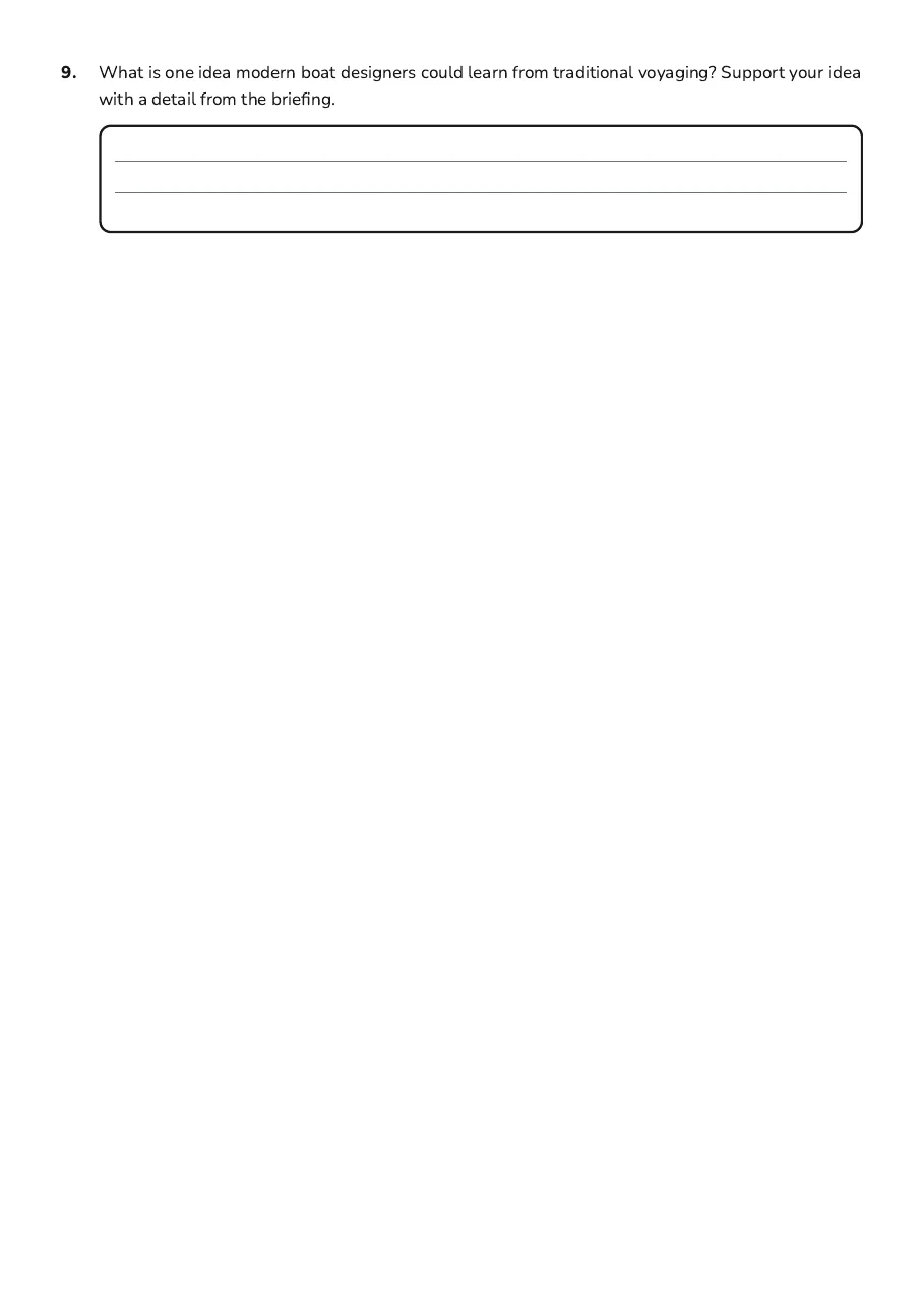
Page 3
About This Worksheet
Free in Kuraplan
Sign up free, grab the PDF, and customize it for your class.
Print-Ready
Formatted for standard paper. Clean layout, easy to read.
AI-Generated
Created with Kuraplan's AI, designed for real classroom use.
For Teachers & Parents
Use in classrooms, for homework, tutoring, or homeschool.
Need a custom version of this worksheet?
Kuraplan's AI generates custom worksheets in seconds — differentiated for every learner, aligned to your curriculum.
Generate Custom Worksheets — FreeMore Social Sciences Worksheets
Parihaka: Historical Perspectives Worksheet
Free
Ancient Egyptian Burial Practices
Free
Russell Church Research
Free
New Zealand's Shaping History
Free
Te Aute Historical Insights
Free
World War II: Causes
Free
Early New Zealand History Worksheet
Free