Equator and Tropics Mapping
A free geography worksheet ready for your classroom. Open in Kuraplan to grab the print-ready PDF, customize it for your students, or generate a fresh version in seconds.
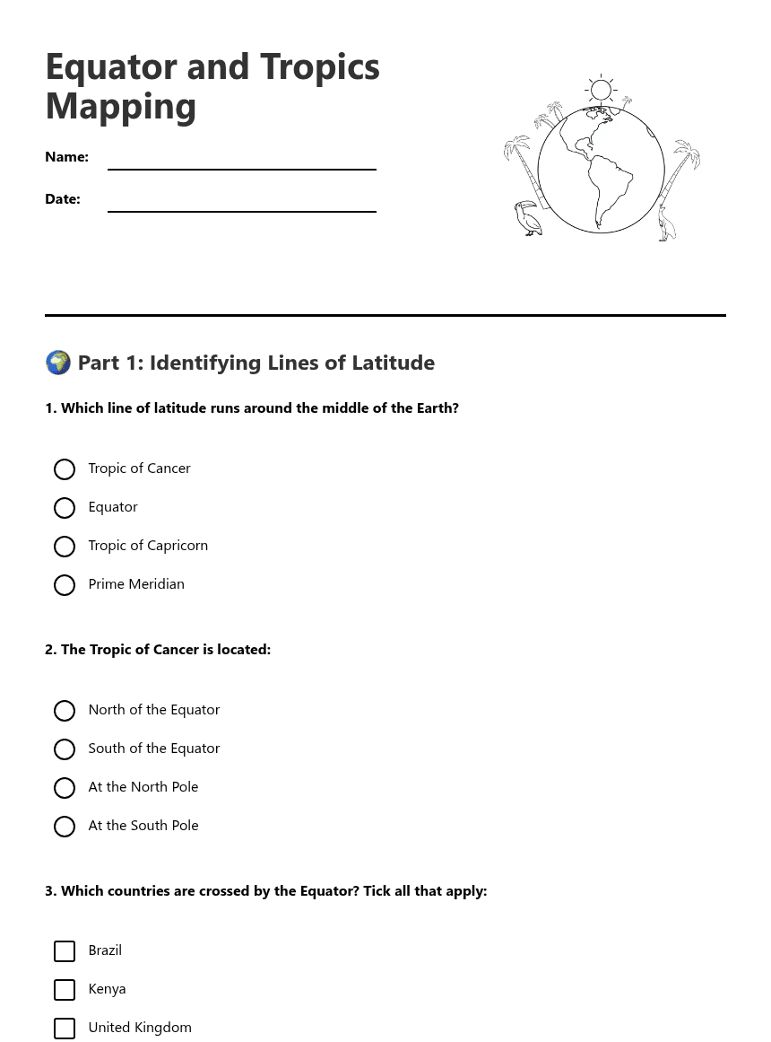
Equator and Tropics Mapping
🌍 Part 1: Identifying Lines of Latitude
The __________ is the imaginary line that divides the Earth into Northern and Southern hemispheres. Countries near this line have __________ and __________ weather all year round.
🗺️ Part 2: Countries and Climate
Equator: ____________________
Tropic of Cancer: ____________________
Tropic of Capricorn: ____________________
✏️ Part 3: Map Skills and Creative Thinking
The Tropic of Capricorn is south of the Equator. TRUE / FALSE
Countries near the Equator have snow in winter. TRUE / FALSE
Egypt is crossed by the Tropic of Cancer. TRUE / FALSE
About This Worksheet
Free in Kuraplan
Sign up free, grab the PDF, and customize it for your class.
Print-Ready
Formatted for standard paper. Clean layout, easy to read.
AI-Generated
Created with Kuraplan's AI, designed for real classroom use.
For Teachers & Parents
Use in classrooms, for homework, tutoring, or homeschool.
Need a custom version of this worksheet?
Kuraplan's AI generates custom worksheets in seconds — differentiated for every learner, aligned to your curriculum.
Generate Custom Worksheets — FreeMore Geography Worksheets
Types of Geography Overview
Free
Surfing Waves Geography Worksheet
Free
Fortnite Geography Skills Worksheet
Free
Fortnite Geography Map Analysis
Free
Fortnite Geography Exploration Worksheet
Free
Fortnite Geography Explorer Worksheet
Free
Fortnite Geography Map Skills
Free