Tropic of Capricorn Geography
A free geography worksheet ready for your classroom. Open in Kuraplan to grab the print-ready PDF, customize it for your students, or generate a fresh version in seconds.

Tropic of Capricorn Geography
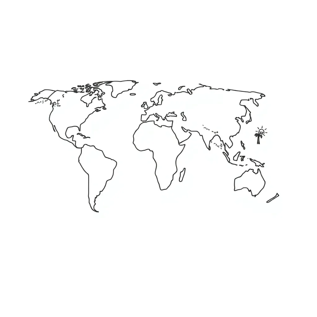
🌍 What is the Tropic of Capricorn?
The Tropic of Capricorn is an imaginary line of latitude that circles the Earth at approximately 23.5° South. It marks the southernmost point where the Sun appears directly overhead at noon during the December solstice (around 21st December). This line passes through several countries and has important effects on climate and seasons.
Multiple Choice Questions
🗺️ Countries and Climate
The Tropic of Capricorn passes through _______ countries and territories. In the Southern Hemisphere, when it is summer along the Tropic of Capricorn, it is _______ in the Northern Hemisphere. The climate along this line is generally _______ and _______.
1. _________________
2. _________________
3. _________________
🎯 Map Skills Challenge
About This Worksheet
Free in Kuraplan
Sign up free, grab the PDF, and customize it for your class.
Print-Ready
Formatted for standard paper. Clean layout, easy to read.
AI-Generated
Created with Kuraplan's AI, designed for real classroom use.
For Teachers & Parents
Use in classrooms, for homework, tutoring, or homeschool.
Need a custom version of this worksheet?
Kuraplan's AI generates custom worksheets in seconds — differentiated for every learner, aligned to your curriculum.
Generate Custom Worksheets — FreeMore Geography Worksheets
Types of Geography Overview
Free
Surfing Waves Geography Worksheet
Free
Fortnite Geography Skills Worksheet
Free
Fortnite Geography Map Analysis
Free
Fortnite Geography Exploration Worksheet
Free
Fortnite Geography Explorer Worksheet
Free
Fortnite Geography Map Skills
Free