Coastal Erosion Landforms
A free geography worksheet ready for your classroom. Open in Kuraplan to grab the print-ready PDF, customize it for your students, or generate a fresh version in seconds.

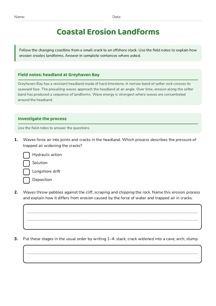
Coastal Erosion Landforms
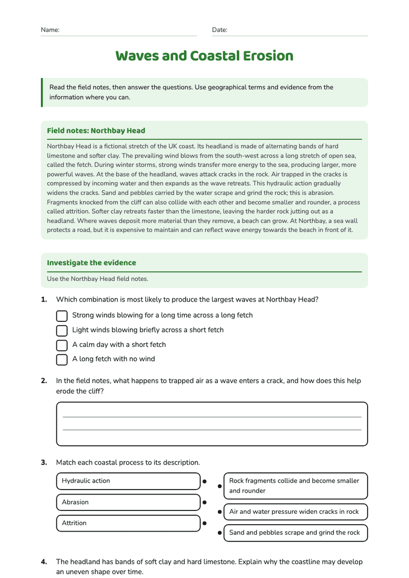
Field notes: headland at Greyhaven Bay
Greyhaven Bay has a resistant headland made of hard limestone. A narrow band of softer rock crosses its seaward face. The prevailing waves approach the headland at an angle. Over time, erosion along the softer band has produced a sequence of landforms. Wave energy is strongest where waves are concentrated around the headland.
Investigate the process
Use the field notes to answer the questions.
- Hydraulic action
- Solution
- Longshore drift
- Deposition
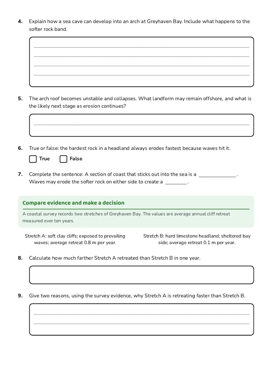
Compare evidence and make a decision
A coastal survey records two stretches of Greyhaven Bay. The values are average annual cliff retreat measured over ten years.
Stretch A: soft clay cliffs; exposed to prevailing waves; average retreat 0.8 m per year.
Stretch B: hard limestone headland; sheltered bay side; average retreat 0.1 m per year.
3 printable pages
Page 1
Page 2

Page 3
About This Worksheet
Free in Kuraplan
Sign up free, grab the PDF, and customize it for your class.
Print-Ready
Formatted for standard paper. Clean layout, easy to read.
AI-Generated
Created with Kuraplan's AI, designed for real classroom use.
For Teachers & Parents
Use in classrooms, for homework, tutoring, or homeschool.
Need a custom version of this worksheet?
Kuraplan's AI generates custom worksheets in seconds — differentiated for every learner, aligned to your curriculum.
Generate Custom Worksheets — Free