New Zealand Rivers Geography
A free social sciences worksheet ready for your classroom. Open in Kuraplan to grab the print-ready PDF, customize it for your students, or generate a fresh version in seconds.
New Zealand Rivers Geography
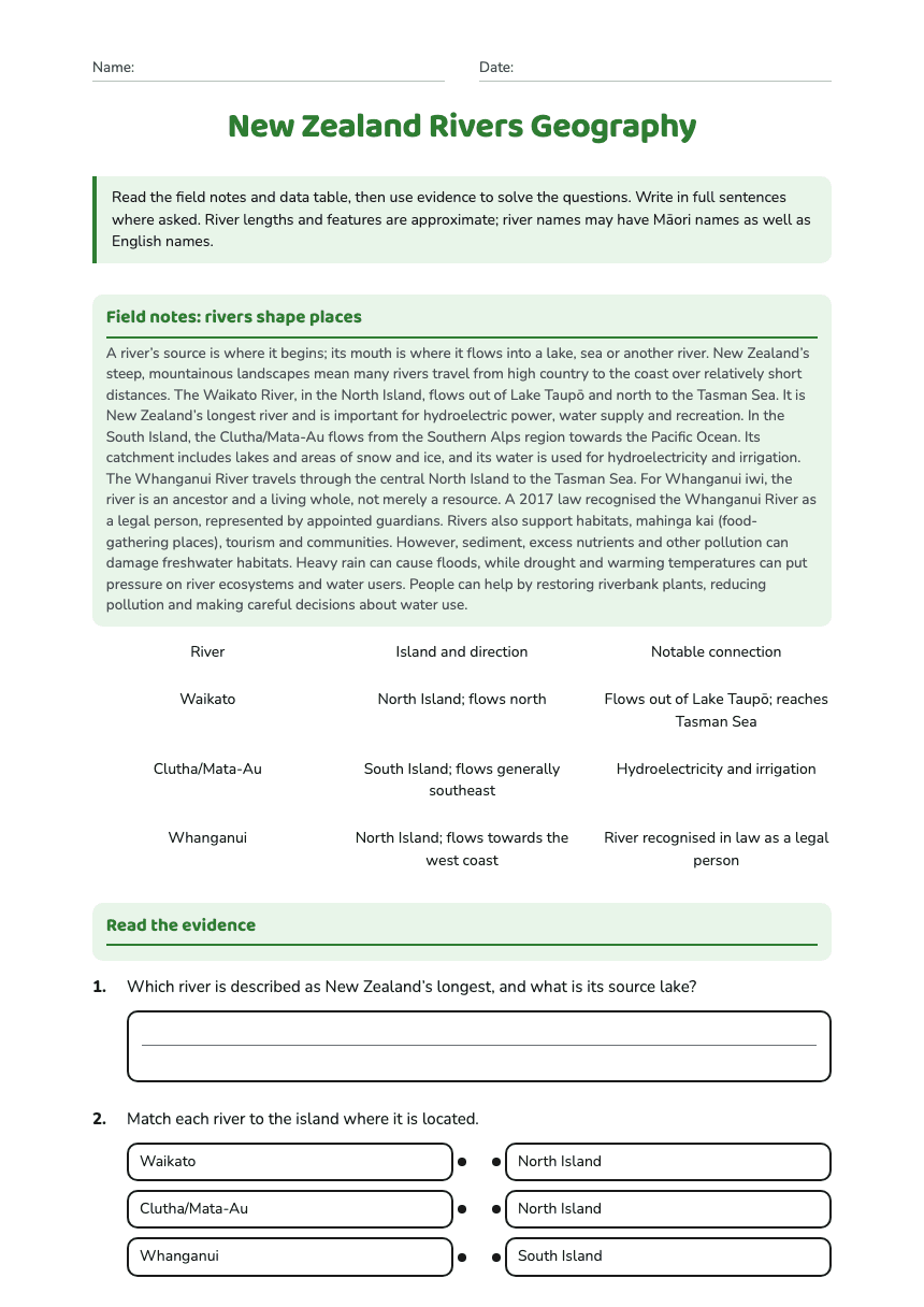
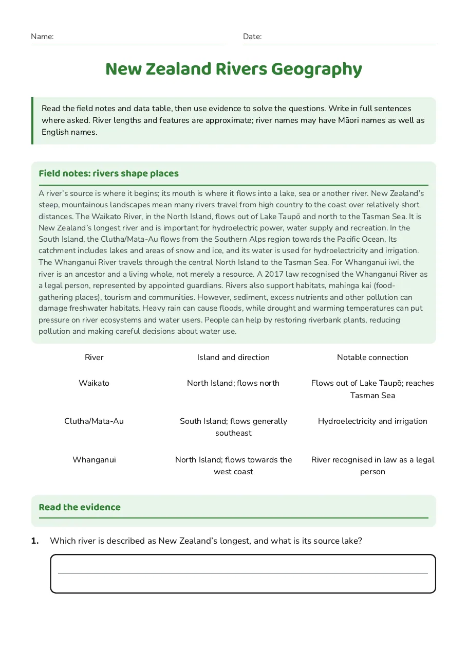
Field notes: rivers shape places
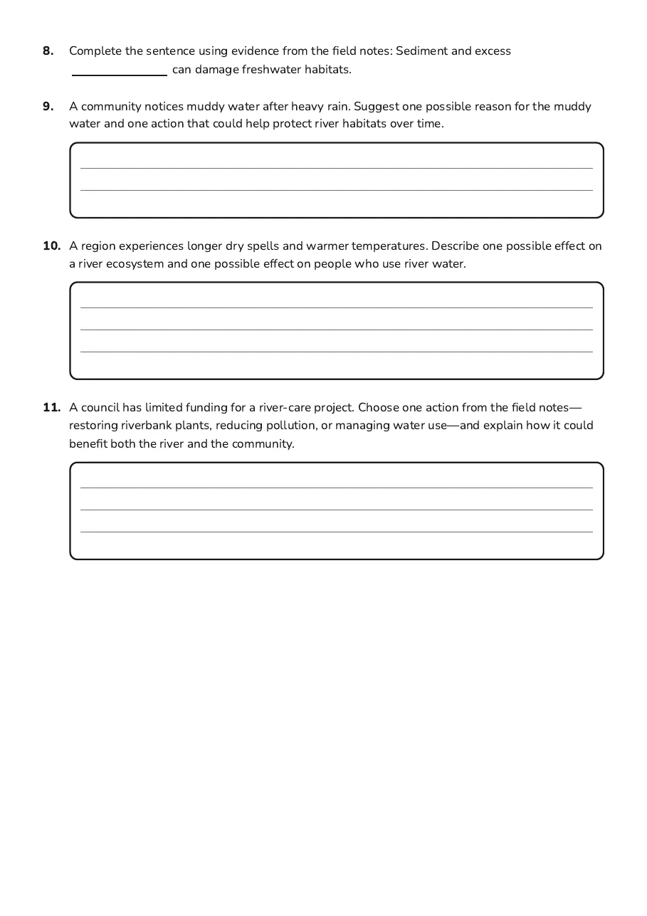
A river’s source is where it begins; its mouth is where it flows into a lake, sea or another river. New Zealand’s steep, mountainous landscapes mean many rivers travel from high country to the coast over relatively short distances. The Waikato River, in the North Island, flows out of Lake Taupō and north to the Tasman Sea. It is New Zealand’s longest river and is important for hydroelectric power, water supply and recreation. In the South Island, the Clutha/Mata-Au flows from the Southern Alps region towards the Pacific Ocean. Its catchment includes lakes and areas of snow and ice, and its water is used for hydroelectricity and irrigation. The Whanganui River travels through the central North Island to the Tasman Sea. For Whanganui iwi, the river is an ancestor and a living whole, not merely a resource. A 2017 law recognised the Whanganui River as a legal person, represented by appointed guardians. Rivers also support habitats, mahinga kai (food-gathering places), tourism and communities. However, sediment, excess nutrients and other pollution can damage freshwater habitats. Heavy rain can cause floods, while drought and warming temperatures can put pressure on river ecosystems and water users. People can help by restoring riverbank plants, reducing pollution and making careful decisions about water use.
River
Island and direction
Notable connection
Waikato
North Island; flows north
Flows out of Lake Taupō; reaches Tasman Sea
Clutha/Mata-Au
South Island; flows generally southeast
Hydroelectricity and irrigation
Whanganui
North Island; flows towards the west coast
River recognised in law as a legal person
Read the evidence
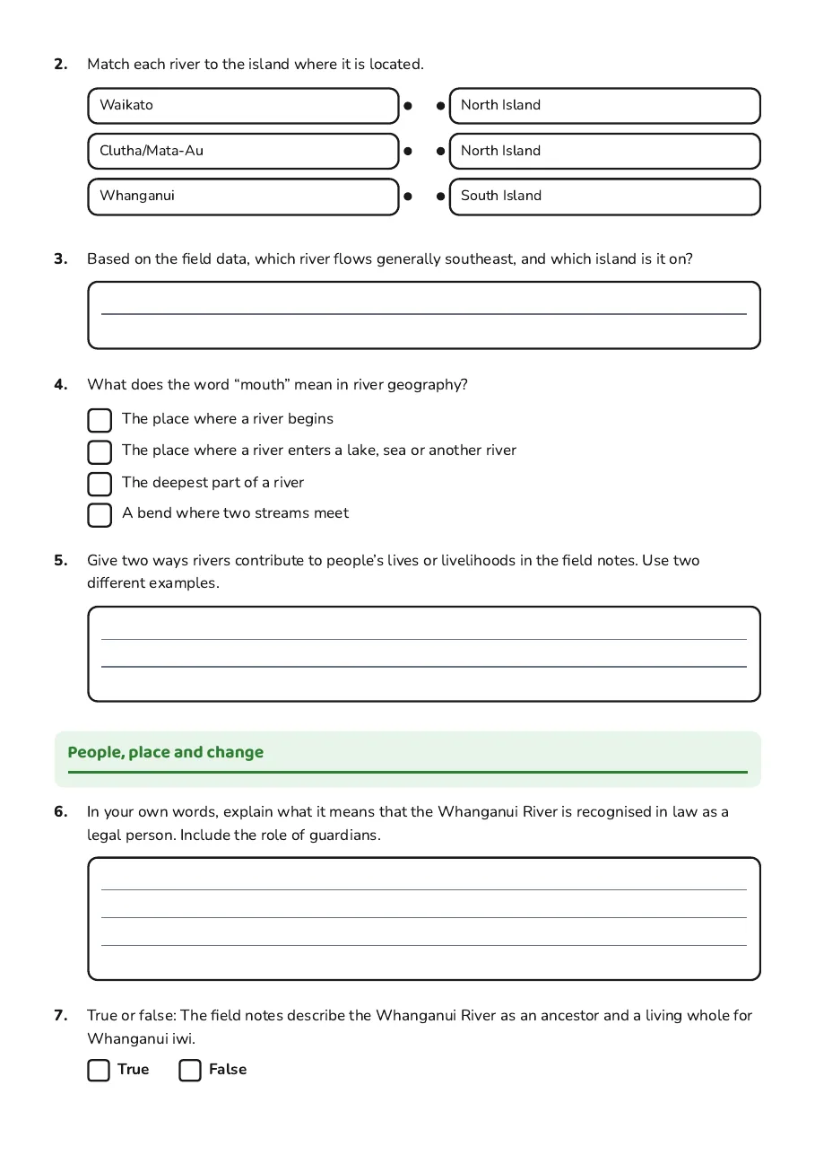
- Waikato
- Clutha/Mata-Au
- Whanganui
- North Island
- North Island
- South Island
- The place where a river begins
- The place where a river enters a lake, sea or another river
- The deepest part of a river
- A bend where two streams meet
People, place and change
3 printable pages
Page 1
Page 2
Page 3
About This Worksheet
Free in Kuraplan
Sign up free, grab the PDF, and customize it for your class.
Print-Ready
Formatted for standard paper. Clean layout, easy to read.
AI-Generated
Created with Kuraplan's AI, designed for real classroom use.
For Teachers & Parents
Use in classrooms, for homework, tutoring, or homeschool.
Need a custom version of this worksheet?
Kuraplan's AI generates custom worksheets in seconds — differentiated for every learner, aligned to your curriculum.
Generate Custom Worksheets — FreeMore Social Sciences Worksheets
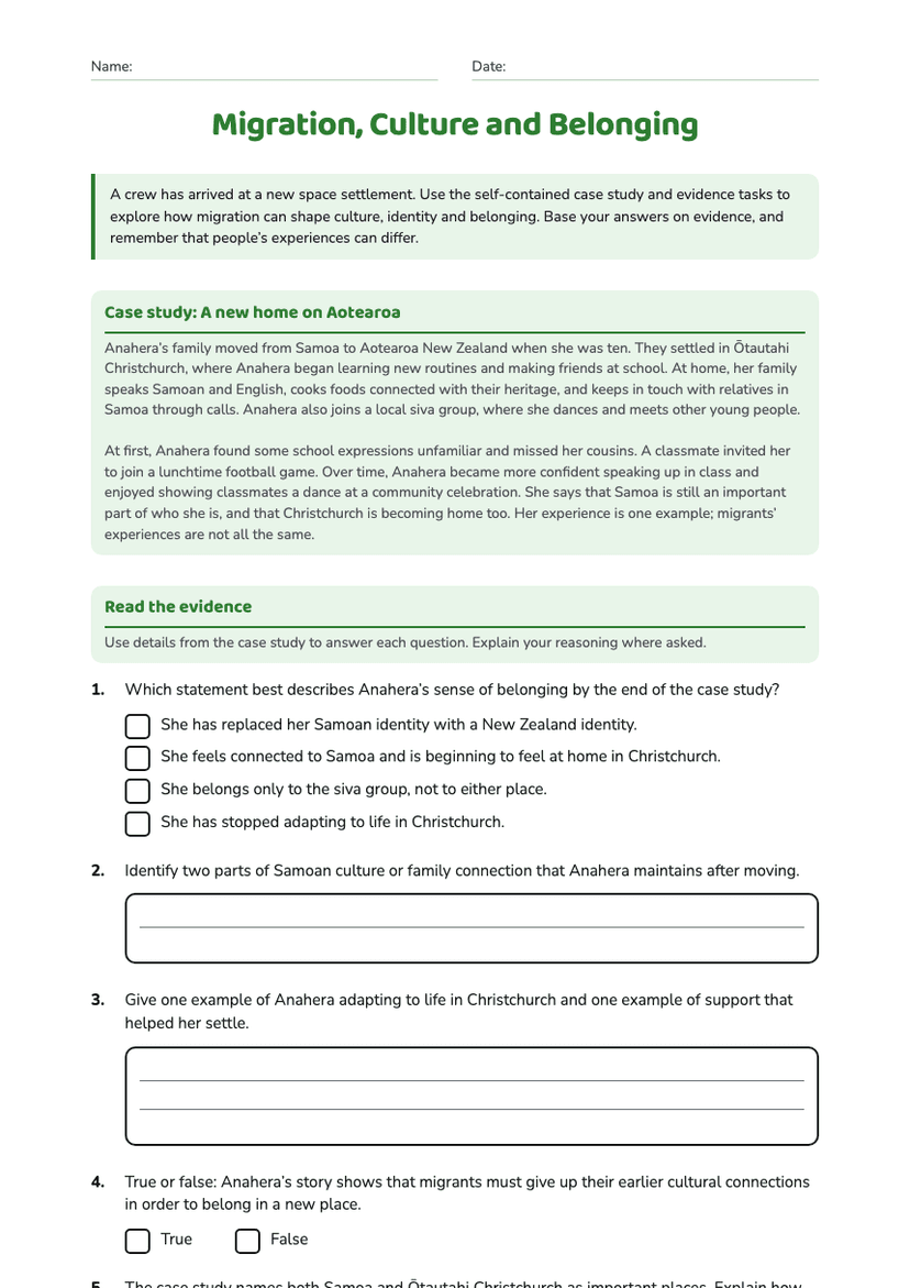
Migration, Culture and Belonging
Free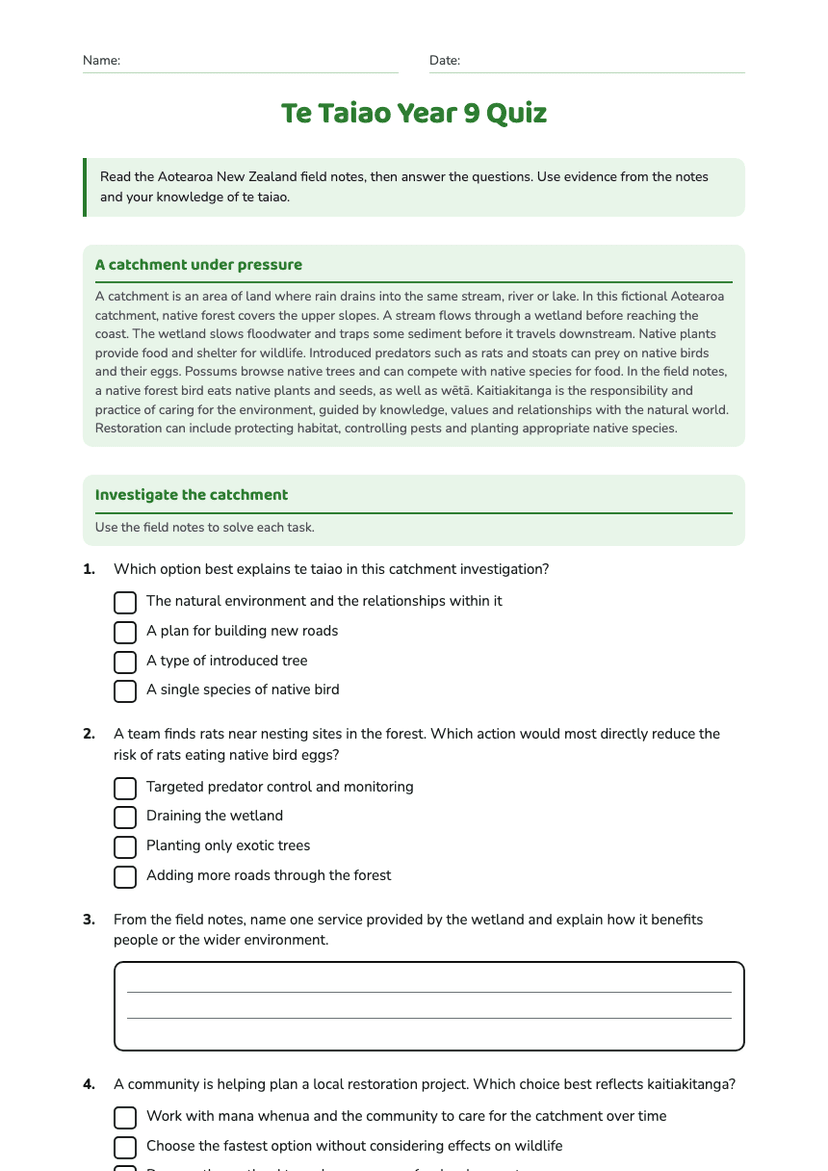
Te Taiao Year 9 Quiz
Free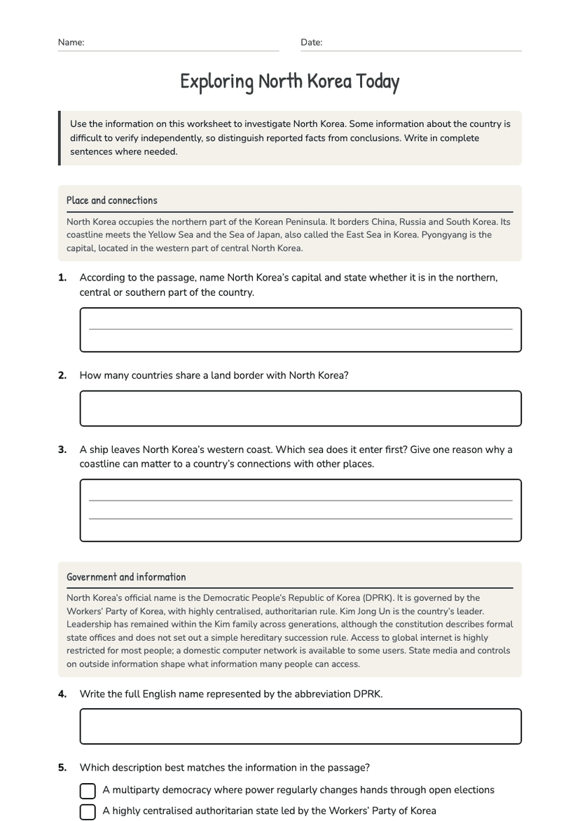
Exploring North Korea Today
Free
New Zealand Coastal Geography
Free
Ocean Kaitiakitanga Action Posters
Free
New Zealand Rivers Geography
Free
Hydrothermal Activity and Terraces
Free