Australia-Indonesia Connections Worksheet
A free social sciences worksheet ready for your classroom. Open in Kuraplan to grab the print-ready PDF, customize it for your students, or generate a fresh version in seconds.
Australia-Indonesia Connections Worksheet
🗺️ Part 1: Location and Geography
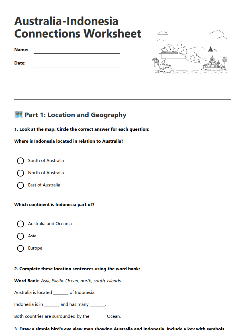
Where is Indonesia located in relation to Australia?
Which continent is Indonesia part of?
Word Bank: Asia, Pacific Ocean, north, south, islands
Australia is located ________ of Indonesia.
Indonesia is in ________ and has many ________.
Both countries are surrounded by the ________ Ocean.
Key symbols to include: Land (countries), Water (ocean), Capital cities
🏛️ Part 2: Comparing Our Countries
Three facts about Australia:
Three facts about Indonesia:
One similarity: Both countries ________________________________
One difference: Australia _________________ whereas Indonesia _________________
🤝 Part 3: Connections and Reflection
About This Worksheet
Free in Kuraplan
Sign up free, grab the PDF, and customize it for your class.
Print-Ready
Formatted for standard paper. Clean layout, easy to read.
AI-Generated
Created with Kuraplan's AI, designed for real classroom use.
For Teachers & Parents
Use in classrooms, for homework, tutoring, or homeschool.
Need a custom version of this worksheet?
Kuraplan's AI generates custom worksheets in seconds — differentiated for every learner, aligned to your curriculum.
Generate Custom Worksheets — FreeMore Social Sciences Worksheets
Magnetic Island Sustainability Practices
Free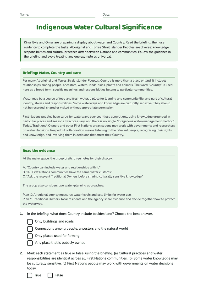
Indigenous Water Cultural Significance
Free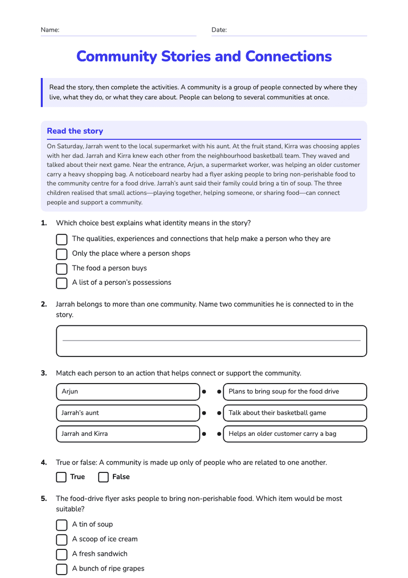
Community Stories and Connections
Free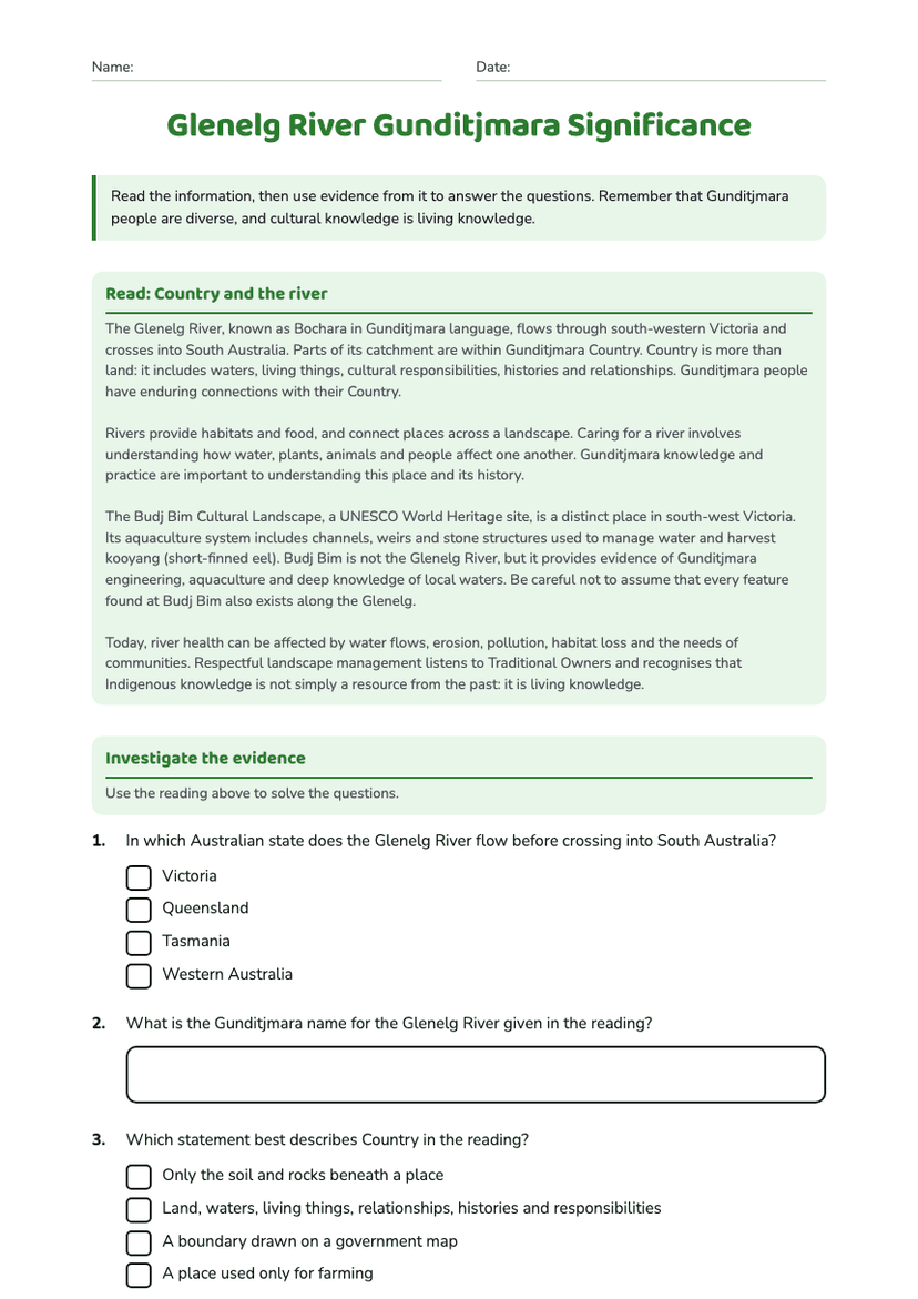
Glenelg River Gunditjmara Significance
Free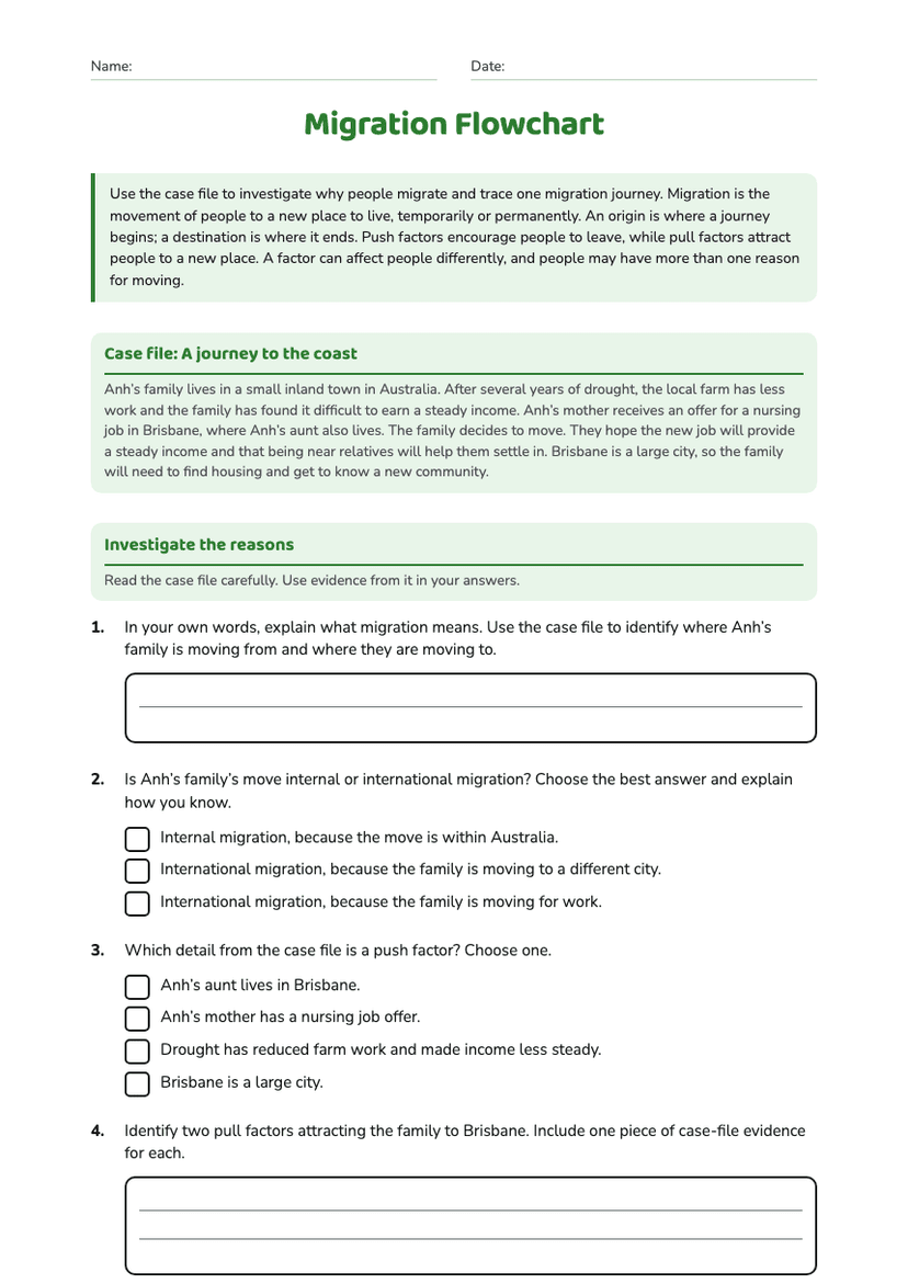
Migration Flowchart
Free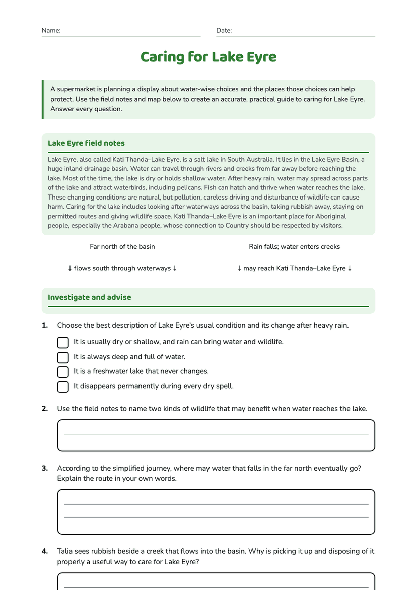
Caring for Lake Eyre
Free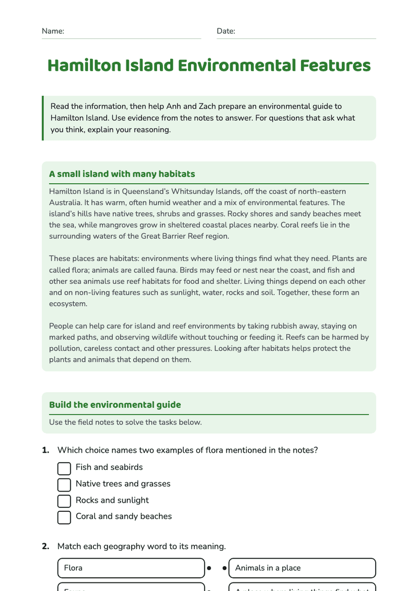
Hamilton Island Environmental Features
Free