Australia States Puzzle Map
A free social sciences worksheet ready for your classroom. Open in Kuraplan to grab the print-ready PDF, customize it for your students, or generate a fresh version in seconds.
Australia States Puzzle Map
🗺️ Part 1: Instructions
What to do:
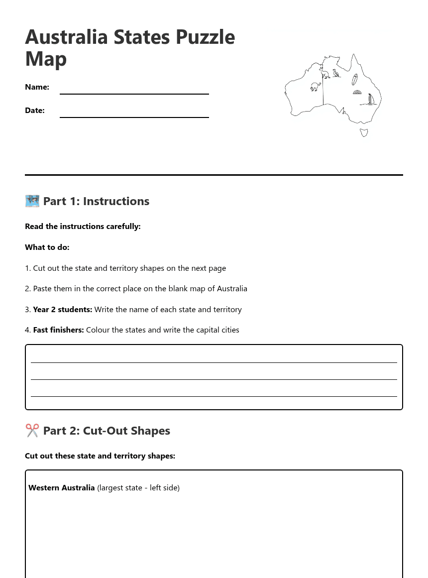
1. Cut out the state and territory shapes on the next page
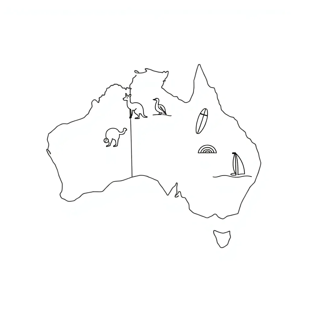
2. Paste them in the correct place on the blank map of Australia
3. Year 2 students: Write the name of each state and territory
4. Fast finishers: Colour the states and write the capital cities
✂️ Part 2: Cut-Out Shapes
Western Australia (largest state - left side)
Northern Territory (top middle)
Queensland (top right)
South Australia (bottom middle)
New South Wales (bottom right)
Victoria (small state at bottom)
Tasmania (island at bottom)
Australian Capital Territory (ACT) (very small - inside NSW)
🗺️ Part 3: Blank Map of Australia
Blank outline map of Australia goes here
📝 Part 4: For Year 2 Students - Label the States
1. The biggest state: ____________________
2. The island state: ____________________
3. The state with the Great Barrier Reef: ____________________
4. The state where Sydney is located: ____________________
5. The state where Melbourne is located: ____________________
6. The territory in the middle-north: ____________________
7. The territory where Canberra is located: ____________________
8. The state where Adelaide is located: ____________________
🌟 Part 5: For Fast Finishers - Capital Cities
🎨 Part 6: Colouring Activity
📚 Teacher Notes - Differentiation
For students needing extra support:
• Provide pre-labelled maps with state names already written
• Use larger cut-out pieces for easier handling
• Work in pairs with a buddy
• Use picture cards showing each state's shape and location
For advanced learners:
• Research one interesting fact about each state
• Add major cities beyond capitals
• Include compass directions (north, south, east, west)
For EAL/D learners:
• Use visual supports and picture vocabulary cards
• Pair with English-speaking buddy
• Focus on key vocabulary: state, territory, capital, map
About This Worksheet
Free in Kuraplan
Sign up free, grab the PDF, and customize it for your class.
Print-Ready
Formatted for standard paper. Clean layout, easy to read.
AI-Generated
Created with Kuraplan's AI, designed for real classroom use.
For Teachers & Parents
Use in classrooms, for homework, tutoring, or homeschool.
Need a custom version of this worksheet?
Kuraplan's AI generates custom worksheets in seconds — differentiated for every learner, aligned to your curriculum.
Generate Custom Worksheets — FreeMore Social Sciences Worksheets
Bird Migration Investigation
Free
Bird Migration: King Island & Tasmania
Free
City Liveability Ranking
Free
Island Map Explorer Mission
Free
South Africa Geography Map
Free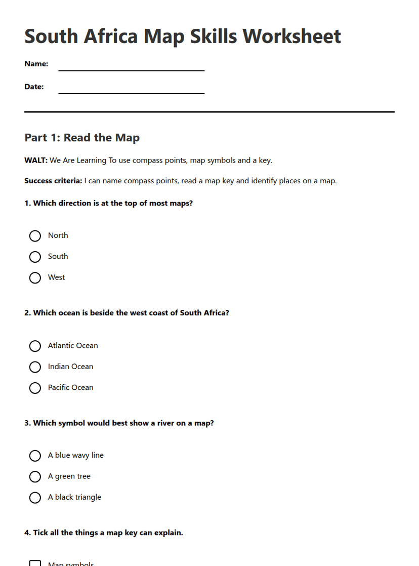
South Africa Map Skills Worksheet
Free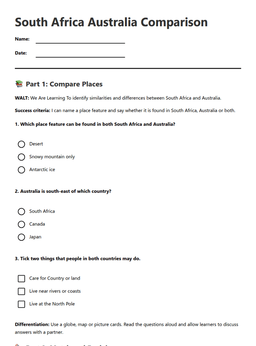
South Africa Australia Comparison
Free