Exploring Map Types
A free social sciences worksheet ready for your classroom. Open in Kuraplan to grab the print-ready PDF, customize it for your students, or generate a fresh version in seconds.
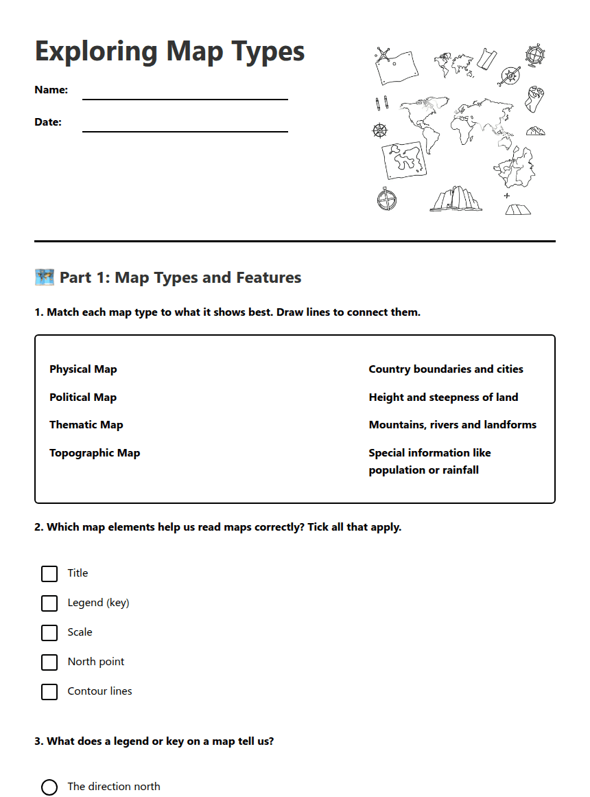
Exploring Map Types
🗺️ Part 1: Map Types and Features
🔍 Part 2: Choosing the Right Map
Scenario A: You want to find out which countries share a border with Australia's neighbours in Asia.
Best map type: ___________________
Reason: ___________________________________________
Scenario B: You need to plan a hiking route and want to know how steep the hills are.
Best map type: ___________________
Reason: ___________________________________________
| Map Type | Best Question It Answers |
|---|---|
| Physical Map | _________________________ |
| Thematic Map | _________________________ |
✈️ Part 3: Plan Your Journey
Destination in Asia: ___________________
Map type I would choose: ___________________
About This Worksheet
Free in Kuraplan
Sign up free, grab the PDF, and customize it for your class.
Print-Ready
Formatted for standard paper. Clean layout, easy to read.
AI-Generated
Created with Kuraplan's AI, designed for real classroom use.
For Teachers & Parents
Use in classrooms, for homework, tutoring, or homeschool.
Need a custom version of this worksheet?
Kuraplan's AI generates custom worksheets in seconds — differentiated for every learner, aligned to your curriculum.
Generate Custom Worksheets — FreeMore Social Sciences Worksheets
Magnetic Island Sustainability Practices
Free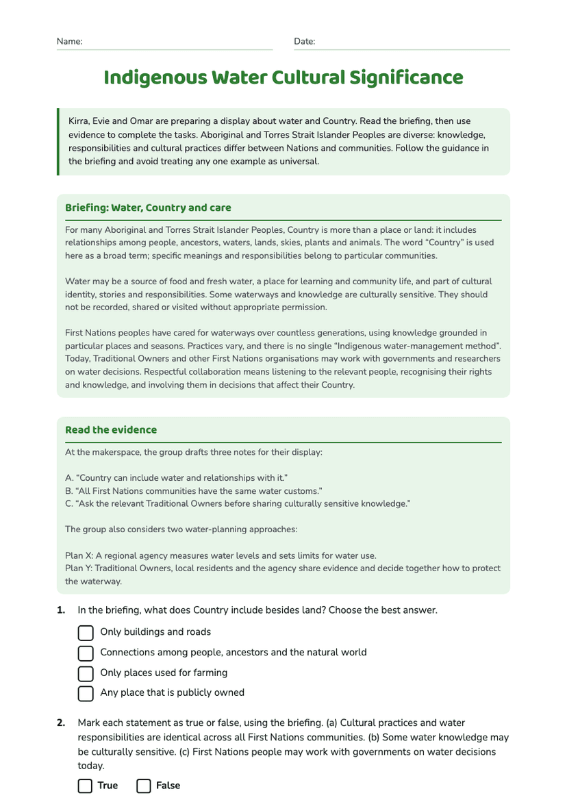
Indigenous Water Cultural Significance
Free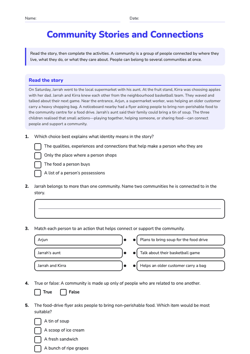
Community Stories and Connections
Free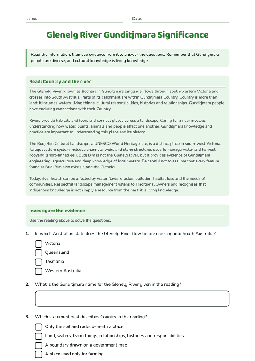
Glenelg River Gunditjmara Significance
Free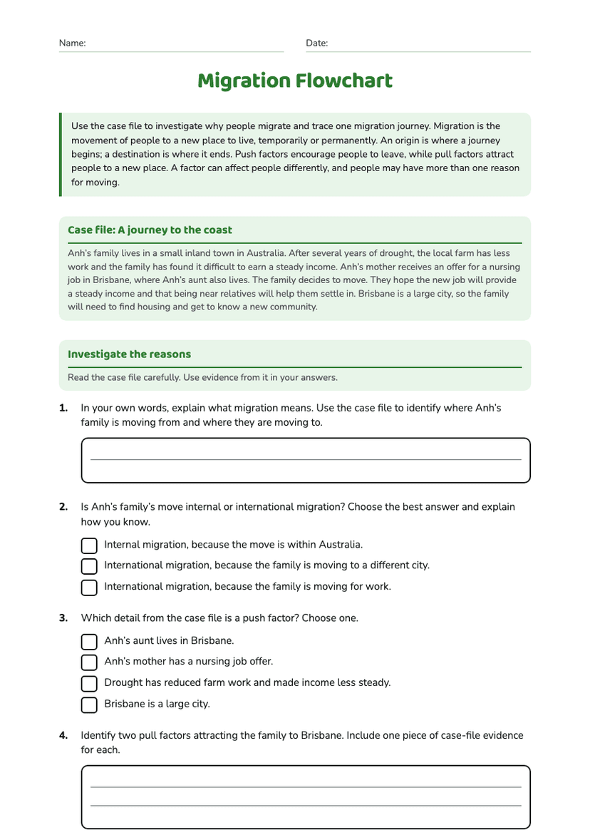
Migration Flowchart
Free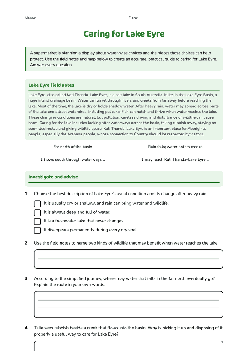
Caring for Lake Eyre
Free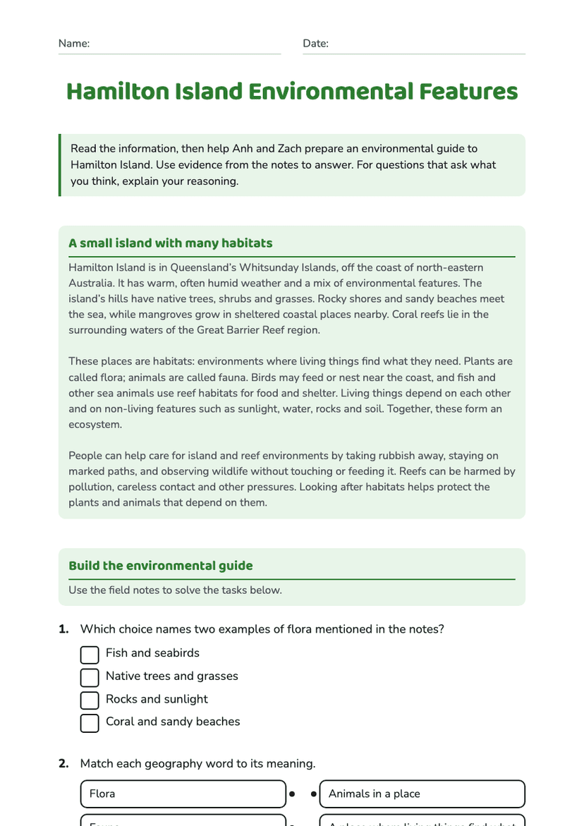
Hamilton Island Environmental Features
Free