Social SciencesFreePrintable
Glenelg River Mapping
A free social sciences worksheet ready for your classroom. Open in Kuraplan to grab the print-ready PDF, customize it for your students, or generate a fresh version in seconds.
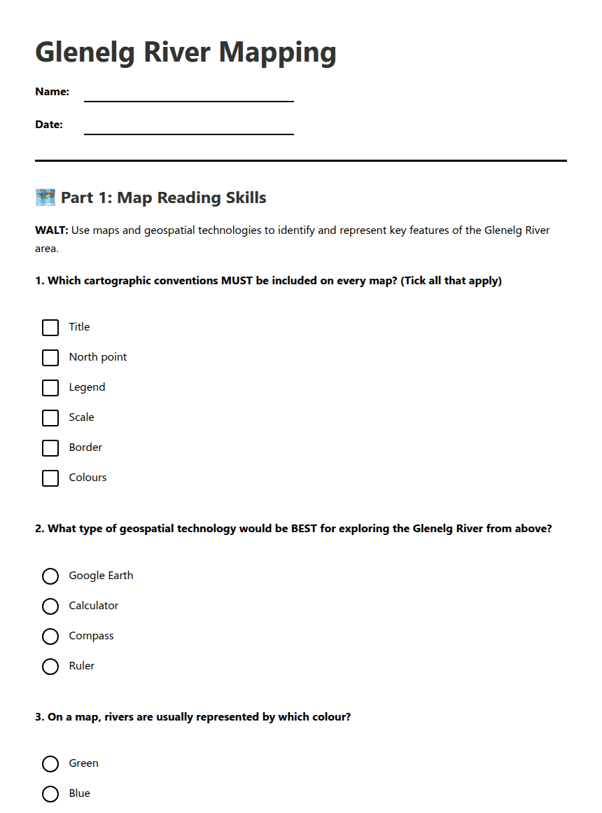
Glenelg River Mapping
🗺️ Part 1: Map Reading Skills
WALT: Use maps and geospatial technologies to identify and represent key features of the Glenelg River area.
1. Which cartographic conventions MUST be included on every map? (Tick all that apply)
Title
North point
Legend
Scale
Border
Colours
2. What type of geospatial technology would be BEST for exploring the Glenelg River from above?
Google Earth
Calculator
Compass
Ruler
3. On a map, rivers are usually represented by which colour?
Green
Blue
Brown
Red
4. If a map scale shows 1:50,000, this means that 1 centimetre on the map equals _________ metres in real life.
Answer: _____________ metres
✏️ Part 2: Glenelg River Features
5. List 5 key features you would expect to find along the Glenelg River area that should be included on your map:
1. _________________________________________________
2. _________________________________________________
3. _________________________________________________
4. _________________________________________________
5. _________________________________________________
6. Explain why using geospatial technology (like Google Earth) is helpful when studying rivers:
7. In the space below, sketch a simple legend showing symbols for: river, town, bridge, forest, and road.
🎯 Part 3: Map Planning
8. Before drawing your Glenelg River map, list the steps you should follow:
Step 1: _____________________________________________
Step 2: _____________________________________________
Step 3: _____________________________________________
Step 4: _____________________________________________
9. Extension Activity: Describe how you could use GIS software to create a digital map of the Glenelg River. What additional features could you include?
Success Criteria Check:
I can identify key cartographic conventions
I understand how to use geospatial technology
I can plan a map with 5 key features
I know the steps for creating an accurate map
About This Worksheet
Free in Kuraplan
Sign up free, grab the PDF, and customize it for your class.
Print-Ready
Formatted for standard paper. Clean layout, easy to read.
AI-Generated
Created with Kuraplan's AI, designed for real classroom use.
For Teachers & Parents
Use in classrooms, for homework, tutoring, or homeschool.
Need a custom version of this worksheet?
Kuraplan's AI generates custom worksheets in seconds — differentiated for every learner, aligned to your curriculum.
Generate Custom Worksheets — Free No credit card Curriculum-aligned Under 60 seconds
More Social Sciences Worksheets
Year 2
Bird Migration Investigation
Free
Year 2
Bird Migration: King Island & Tasmania
Free
Year 7
City Liveability Ranking
Free
Year 4
Island Map Explorer Mission
Free
Year 4
South Africa Geography Map
Free
Year 4
South Africa Map Skills Worksheet
Free
Year 4
South Africa Australia Comparison
Free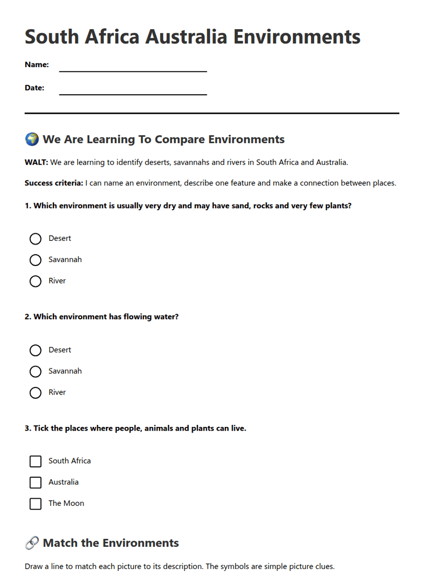
Year 4