Settlement Patterns from Space
A free social sciences worksheet ready for your classroom. Open in Kuraplan to grab the print-ready PDF, customize it for your students, or generate a fresh version in seconds.

Settlement Patterns from Space
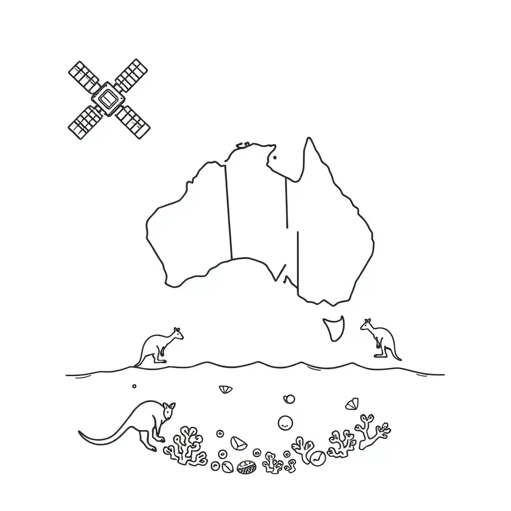
📚 Part 1: Observe & Identify
WALT: Analyse satellite images to identify different settlement patterns and how people inhabit environments.
Success Criteria: I can describe features in an image and name the settlement pattern (clustered, linear, dispersed).
✏️ Part 2: Short Answers & Activity
a) Houses grouped tightly around a town centre with short roads between them: ___________
b) Buildings and homes spaced widely apart with large open land between: ___________
c) Houses arranged mainly along a single road or river: ___________
Extension: Prepare a short presentation about one settlement pattern and include a satellite image showing that pattern.
Differentiation support: Use sentence starters like "I see..." and "This pattern is called..." or work with a buddy for help.
About This Worksheet
Free in Kuraplan
Sign up free, grab the PDF, and customize it for your class.
Print-Ready
Formatted for standard paper. Clean layout, easy to read.
AI-Generated
Created with Kuraplan's AI, designed for real classroom use.
For Teachers & Parents
Use in classrooms, for homework, tutoring, or homeschool.
Need a custom version of this worksheet?
Kuraplan's AI generates custom worksheets in seconds — differentiated for every learner, aligned to your curriculum.
Generate Custom Worksheets — Free