World Map Labeling Practice
A free social sciences worksheet ready for your classroom. Open in Kuraplan to grab the print-ready PDF, customize it for your students, or generate a fresh version in seconds.
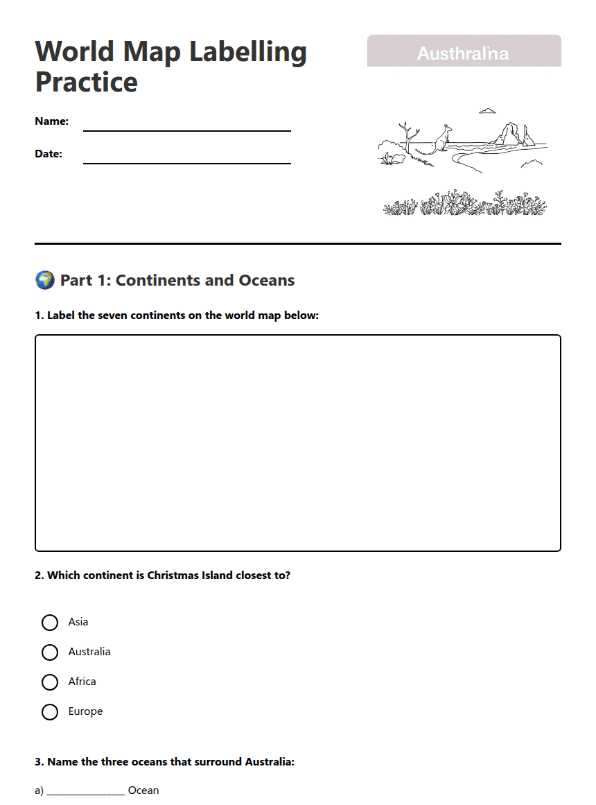
World Map Labelling Practice
🌍 Part 1: Continents and Oceans
a) _________________ Ocean
b) _________________ Ocean
c) _________________ Ocean
📍 Part 2: Latitude and Longitude
• Jakarta, Indonesia: 6°S, 107°E
• Perth, Australia: 32°S, 116°E
• Singapore: 1°N, 104°E
🗺️ Part 3: Relative Location
a) Christmas Island is __________ of Australia.
b) Indonesia lies __________ of Christmas Island.
c) Christmas Island is __________ to the equator than Perth.
About This Worksheet
Free in Kuraplan
Sign up free, grab the PDF, and customize it for your class.
Print-Ready
Formatted for standard paper. Clean layout, easy to read.
AI-Generated
Created with Kuraplan's AI, designed for real classroom use.
For Teachers & Parents
Use in classrooms, for homework, tutoring, or homeschool.
Need a custom version of this worksheet?
Kuraplan's AI generates custom worksheets in seconds — differentiated for every learner, aligned to your curriculum.
Generate Custom Worksheets — FreeMore Social Sciences Worksheets
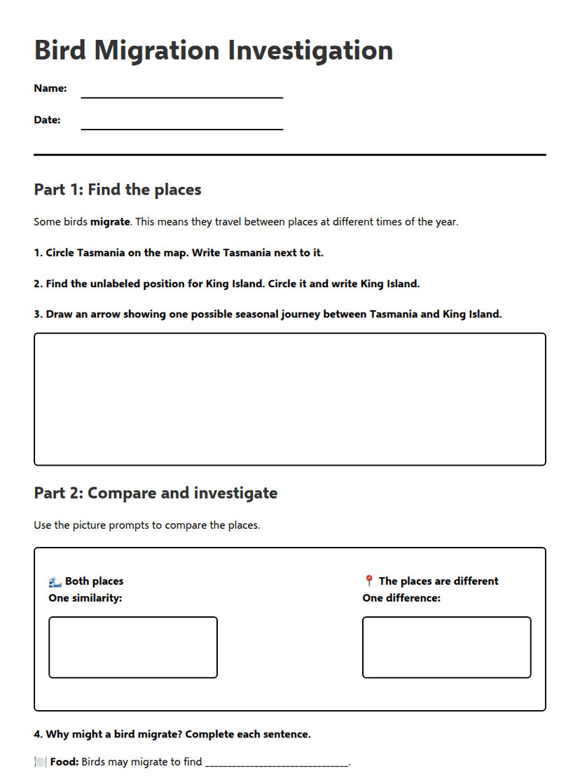
Bird Migration Investigation
Free
Bird Migration: King Island & Tasmania
Free
City Liveability Ranking
Free
Island Map Explorer Mission
Free
South Africa Geography Map
Free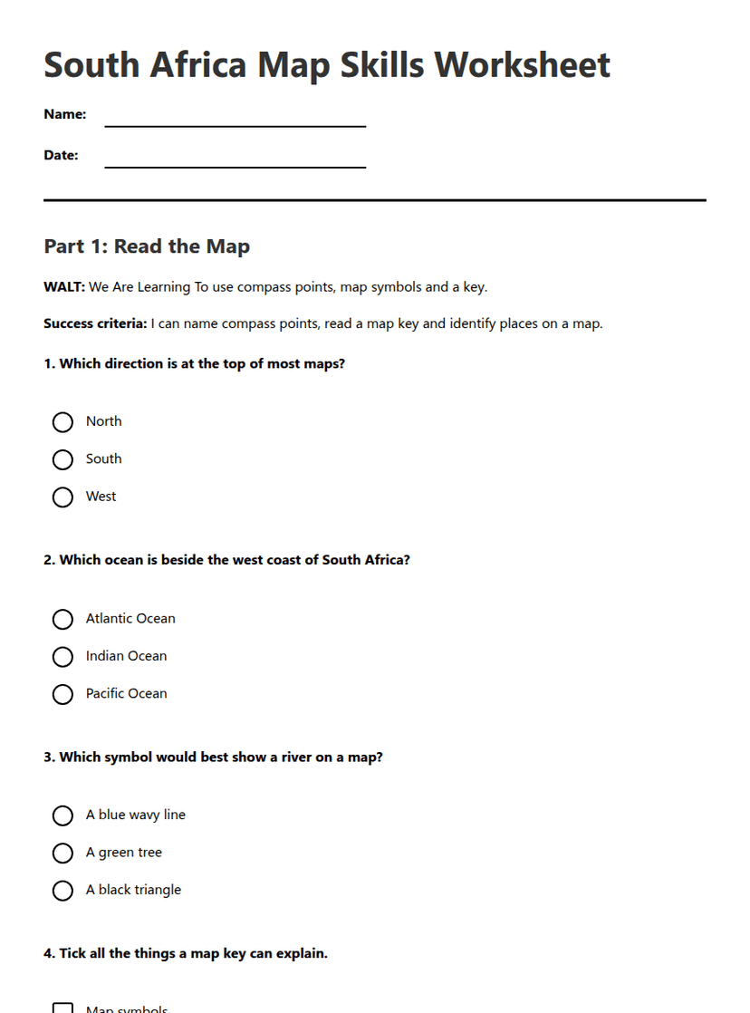
South Africa Map Skills Worksheet
Free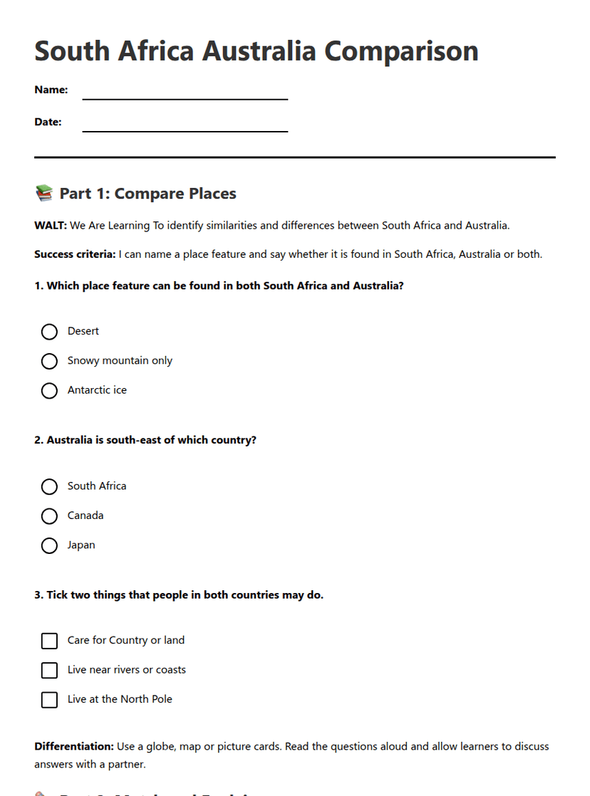
South Africa Australia Comparison
Free