United States Map Outline — free printable diagram
Free geography resource for teachers · CC BY-NC 4.0
About this illustration
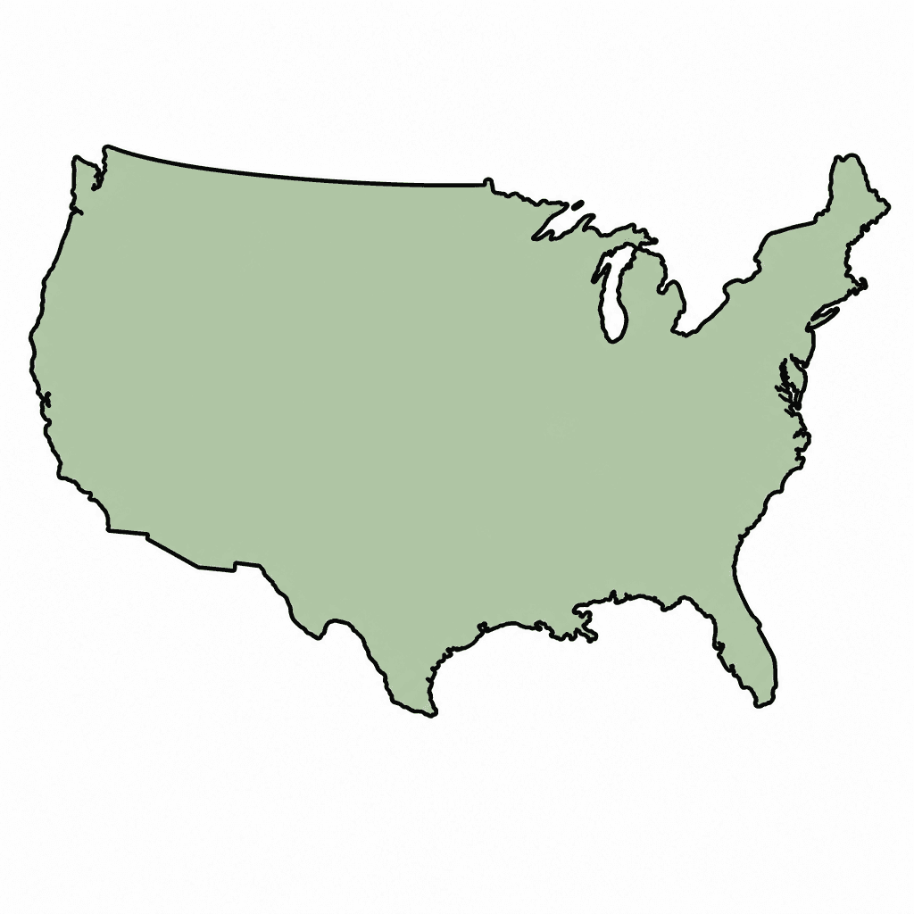
Outline map of United States (US). Continental United States (lower 48) outline only. Distinctive shape: wider east-west than tall, the long curved southern coast along the Gulf of Mexico with the prominent Florida peninsula pointing south on the southeast, Texas filling the south-central with a distinctive Big Bend curve, the Great
How to use
- 1Right-click the image and choose “Save image as”, or use the download button.
- 2Use it in your classroom worksheets, slides or printables — free under CC BY-NC 4.0.
- 3Attribute as “Image by Kuraplan” or link back to kuraplan.com. Not for commercial resale.
Make worksheets with images like this
Kuraplan's editor has the full image library built in — drag-and-drop into a worksheet in seconds.
Browse by subject
15 subjects · 2,086 free illustrations

Cross-Curricular
580 free illustrations

Science
424 free illustrations
English
327 free illustrations

Maths
191 free illustrations

Religious Education
140 free illustrations
Music
108 free illustrations

Health
102 free illustrations

Drama
58 free illustrations

Art
56 free illustrations

History
43 free illustrations

social_studies
21 free illustrations
tech
16 free illustrations

pe
14 free illustrations

te_reo_maori
5 free illustrations

languages
1 free illustrations