Kiribati Geographic Challenge
A free social sciences worksheet ready for your classroom. Open in Kuraplan to grab the print-ready PDF, customize it for your students, or generate a fresh version in seconds.
Kiribati Geographic Challenge
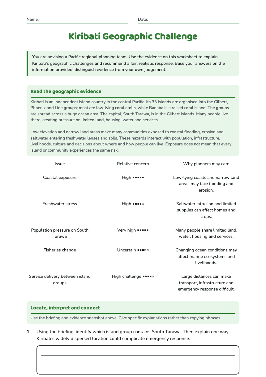
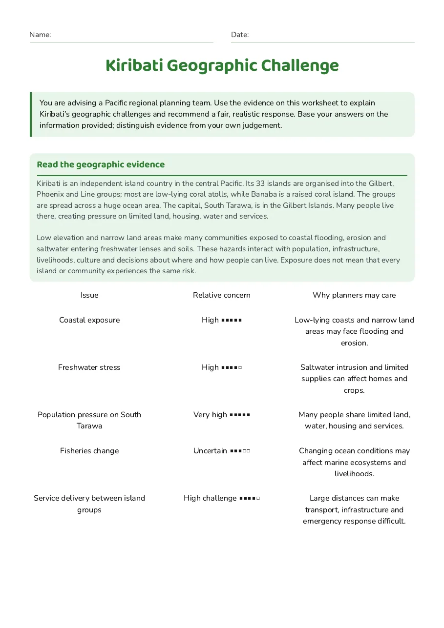
Read the geographic evidence
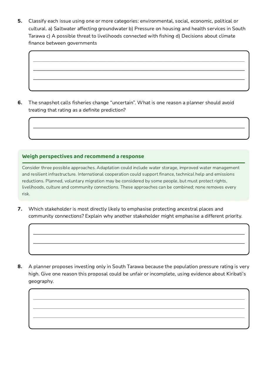
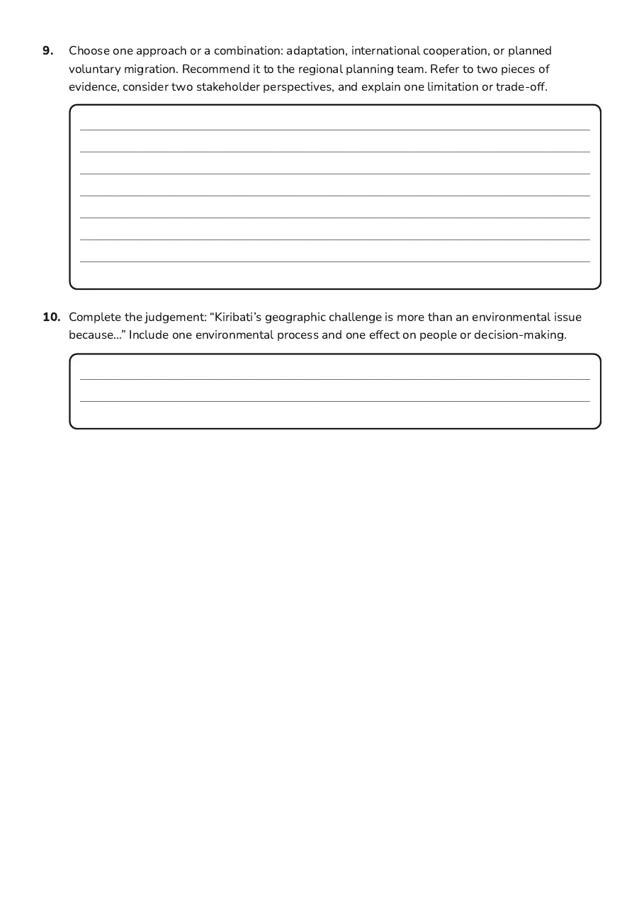
Kiribati is an independent island country in the central Pacific. Its 33 islands are organised into the Gilbert, Phoenix and Line groups; most are low-lying coral atolls, while Banaba is a raised coral island. The groups are spread across a huge ocean area. The capital, South Tarawa, is in the Gilbert Islands. Many people live there, creating pressure on limited land, housing, water and services. Low elevation and narrow land areas make many communities exposed to coastal flooding, erosion and saltwater entering freshwater lenses and soils. These hazards interact with population, infrastructure, livelihoods, culture and decisions about where and how people can live. Exposure does not mean that every island or community experiences the same risk.
Issue
Relative concern
Why planners may care
Coastal exposure
High ■■■■■
Low-lying coasts and narrow land areas may face flooding and erosion.
Freshwater stress
High ■■■■□
Saltwater intrusion and limited supplies can affect homes and crops.
Population pressure on South Tarawa
Very high ■■■■■
Many people share limited land, water, housing and services.
Fisheries change
Uncertain ■■■□□
Changing ocean conditions may affect marine ecosystems and livelihoods.
Service delivery between island groups
High challenge ■■■■□
Large distances can make transport, infrastructure and emergency response difficult.
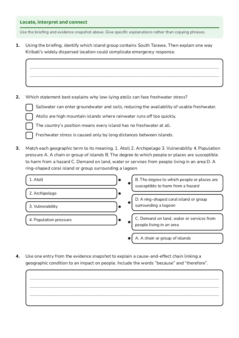
Locate, interpret and connect
Use the briefing and evidence snapshot above. Give specific explanations rather than copying phrases.
- Saltwater can enter groundwater and soils, reducing the availability of usable freshwater.
- Atolls are high mountain islands where rainwater runs off too quickly.
- The country’s position means every island has no freshwater at all.
- Freshwater stress is caused only by long distances between islands.
- 1. Atoll
- 2. Archipelago
- 3. Vulnerability
- 4. Population pressure
- B. The degree to which people or places are susceptible to harm from a hazard
- D. A ring-shaped coral island or group surrounding a lagoon
- C. Demand on land, water or services from people living in an area
- A. A chain or group of islands
Weigh perspectives and recommend a response
Consider three possible approaches. Adaptation could include water storage, improved water management and resilient infrastructure. International cooperation could support finance, technical help and emissions reductions. Planned, voluntary migration may be considered by some people, but must protect rights, livelihoods, culture and community connections. These approaches can be combined; none removes every risk.
4 printable pages
Page 1
Page 2
Page 3
Page 4
About This Worksheet
Free in Kuraplan
Sign up free, grab the PDF, and customize it for your class.
Print-Ready
Formatted for standard paper. Clean layout, easy to read.
AI-Generated
Created with Kuraplan's AI, designed for real classroom use.
For Teachers & Parents
Use in classrooms, for homework, tutoring, or homeschool.
Need a custom version of this worksheet?
Kuraplan's AI generates custom worksheets in seconds — differentiated for every learner, aligned to your curriculum.
Generate Custom Worksheets — FreeMore Social Sciences Worksheets
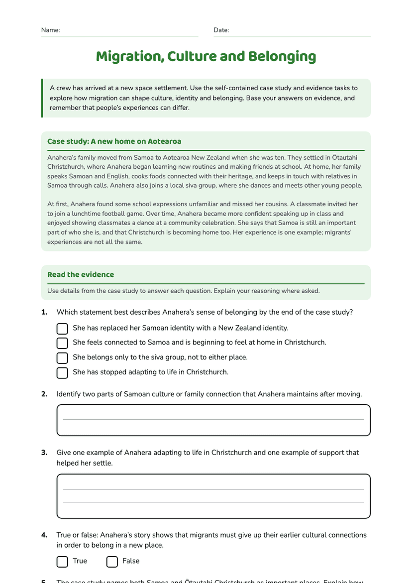
Migration, Culture and Belonging
Free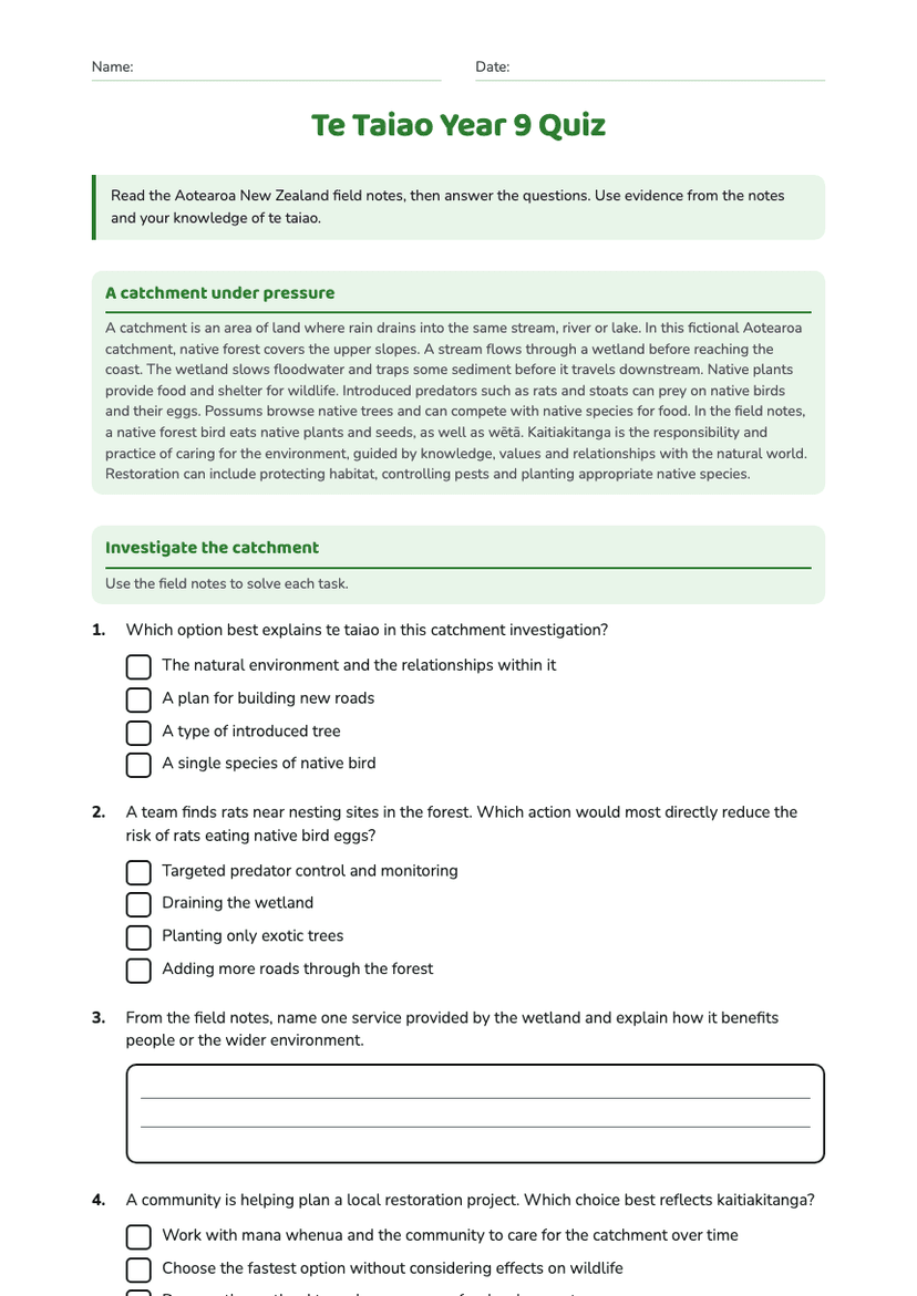
Te Taiao Year 9 Quiz
Free
Exploring North Korea Today
Free
New Zealand Coastal Geography
Free
Ocean Kaitiakitanga Action Posters
Free
New Zealand Rivers Geography
Free
Hydrothermal Activity and Terraces
Free