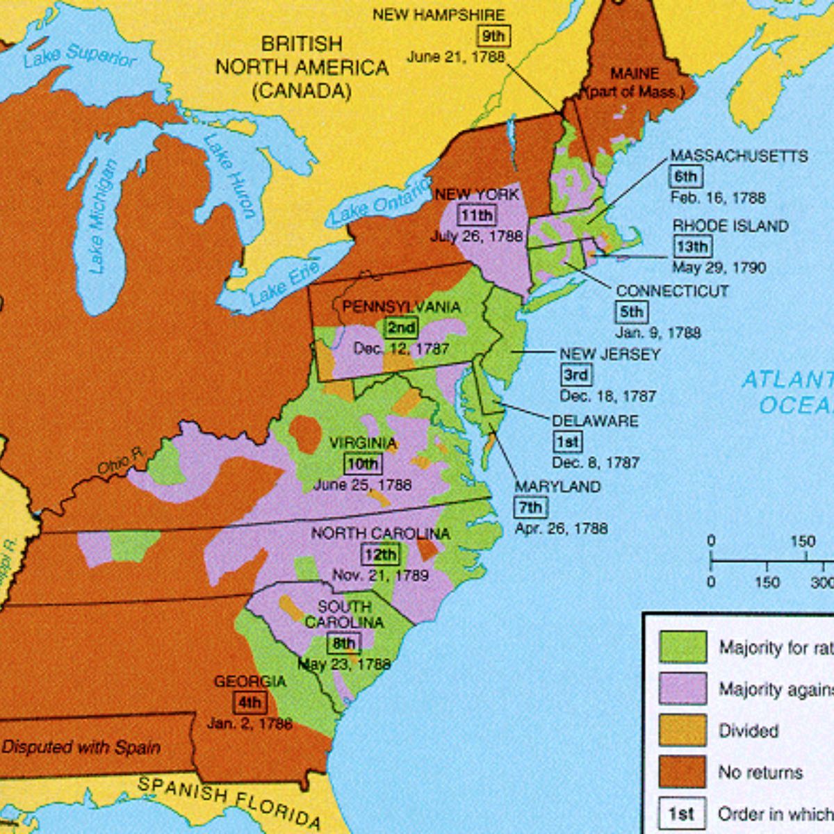
Maps, Resources, and Early America
Exploring Geography and History Grade 5 Social Studies
Think About It
How do maps and globes help us understand where to find things and travel safely? What would happen if explorers didn't have maps?
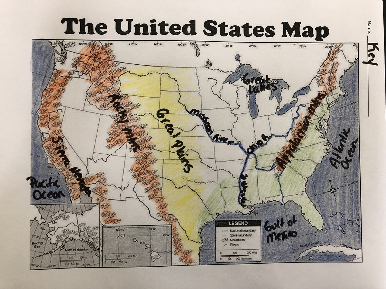
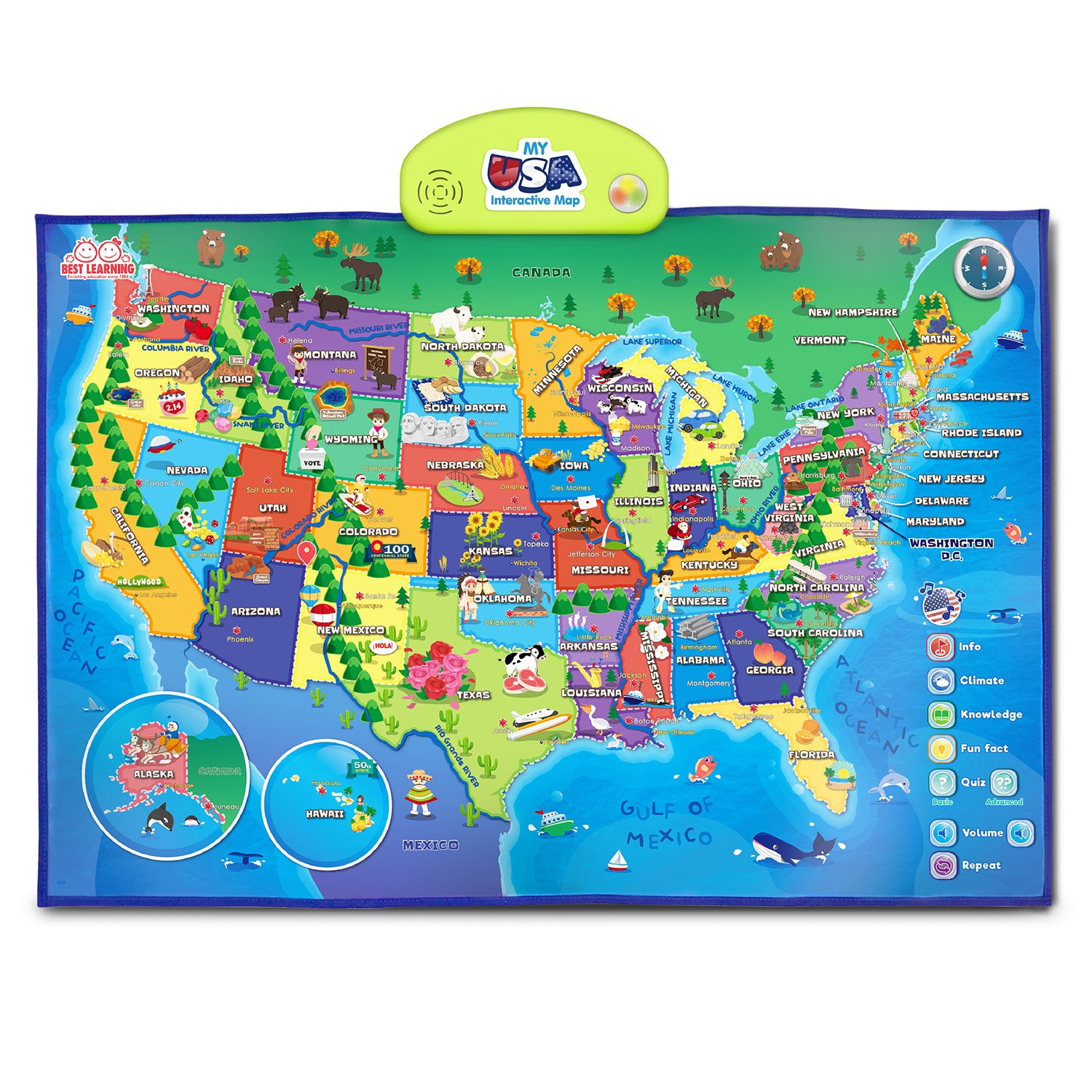
Types of Maps We Use
Physical Maps - show landforms like mountains and rivers Political Maps - show countries, states, and cities Resource Maps - show where natural resources are found Population Maps - show where people live

Map Detective Activity
Work in small groups Each group gets a mystery map Decide what type of map it is Explain what purpose it serves Share your findings with the class
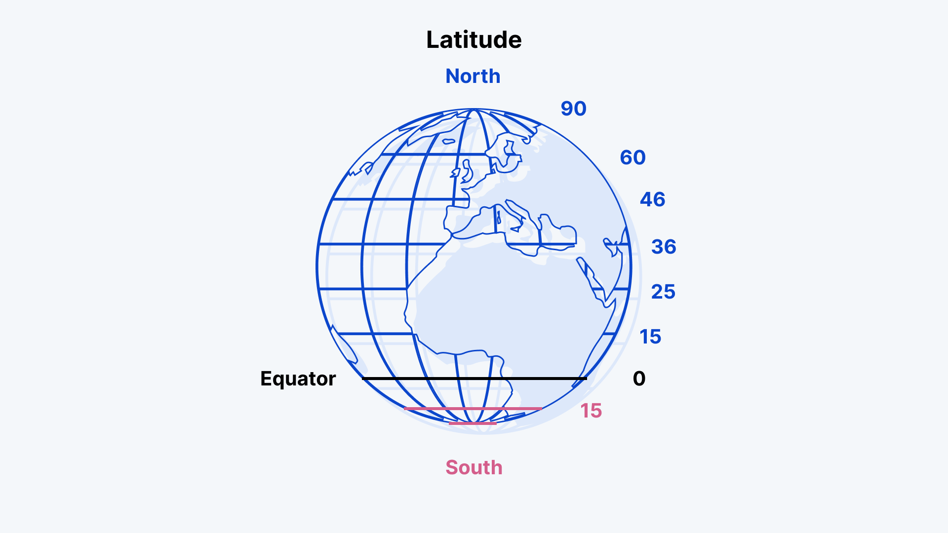
Finding Places with Latitude and Longitude
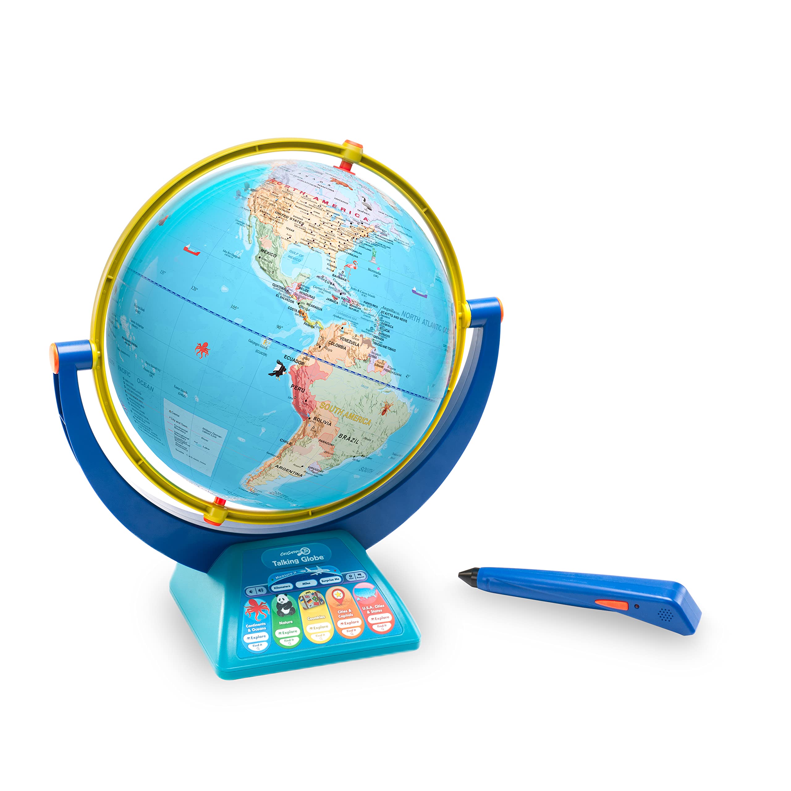
Digital Maps and Measuring Distance
Use interactive maps on tablets or computers Find places using coordinates Measure distances between locations Explore different time zones Practice with early American settlement locations

Resources and Early American Conflicts
{"left":"European colonists wanted: Fur for trading, Timber for building ships, Gold and silver, Rich farmland for crops","right":"Native Americans needed: Hunting grounds for food, Sacred lands for ceremonies, Trading routes for commerce, Traditional territories for families"}

What We Learned Today
Different types of maps serve different purposes Latitude and longitude help us find exact locations Digital tools make measuring distances easier Natural resources influenced where people settled Geography affected relationships between groups in Early America