Northeast Land and Water Features
Exploring the Geography of America's Northeast Region Grade 4 Social Studies
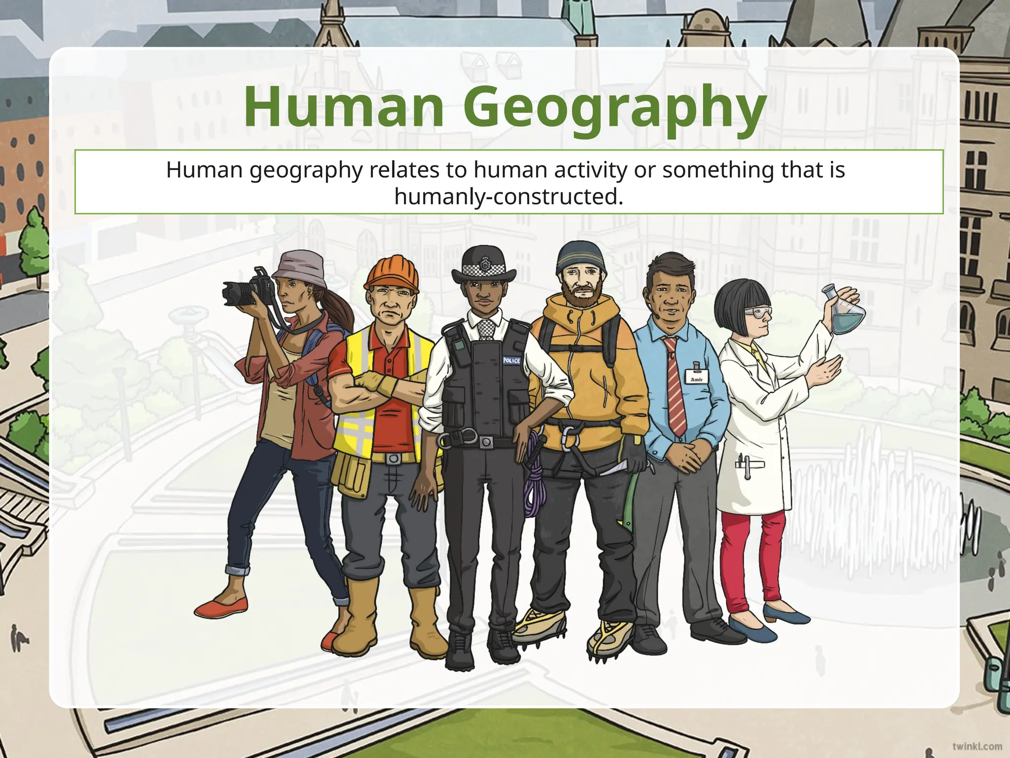
What is the Northeast Region?
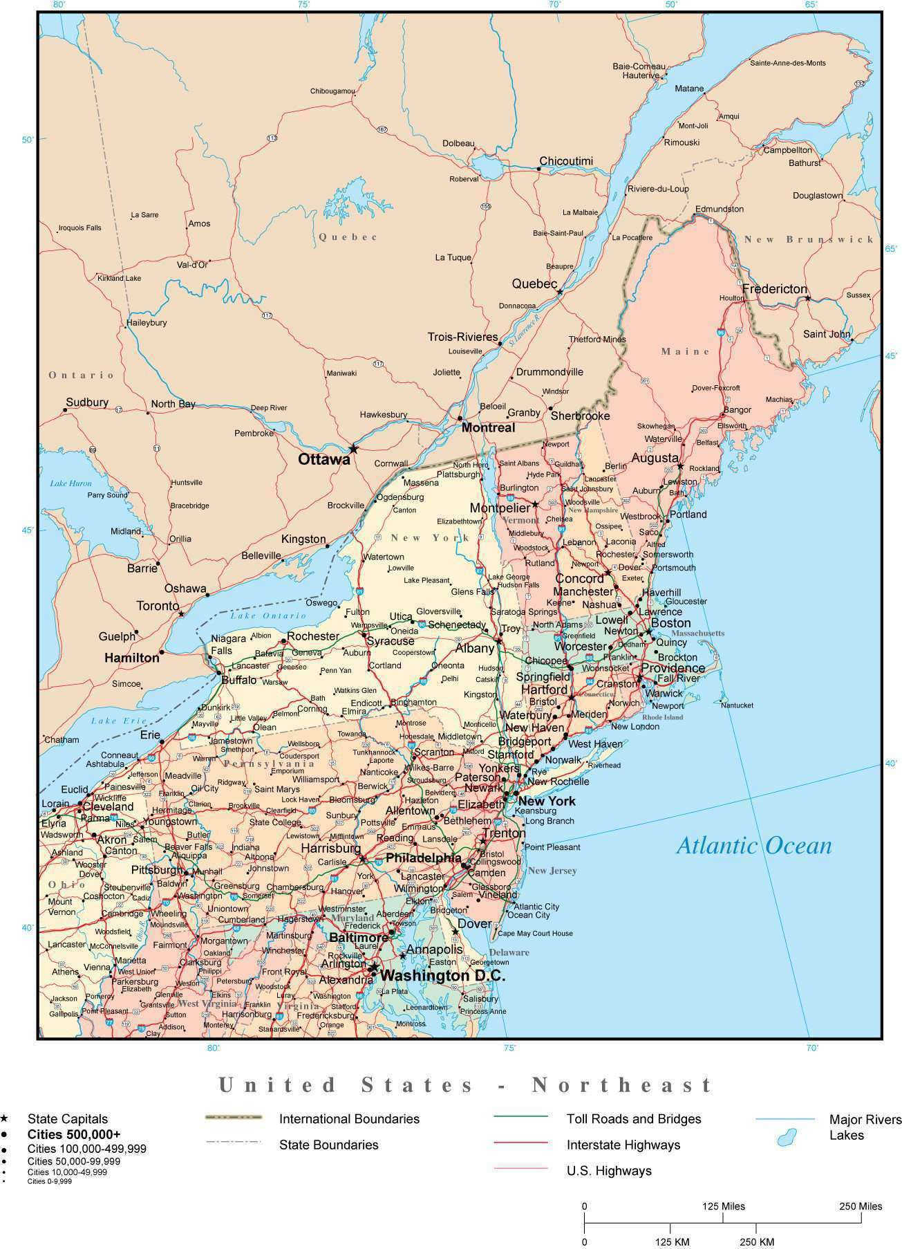
11 states in the northeastern United States Includes New England and Middle Atlantic states From Maine in the north to Maryland in the south Bordered by the Atlantic Ocean on the east

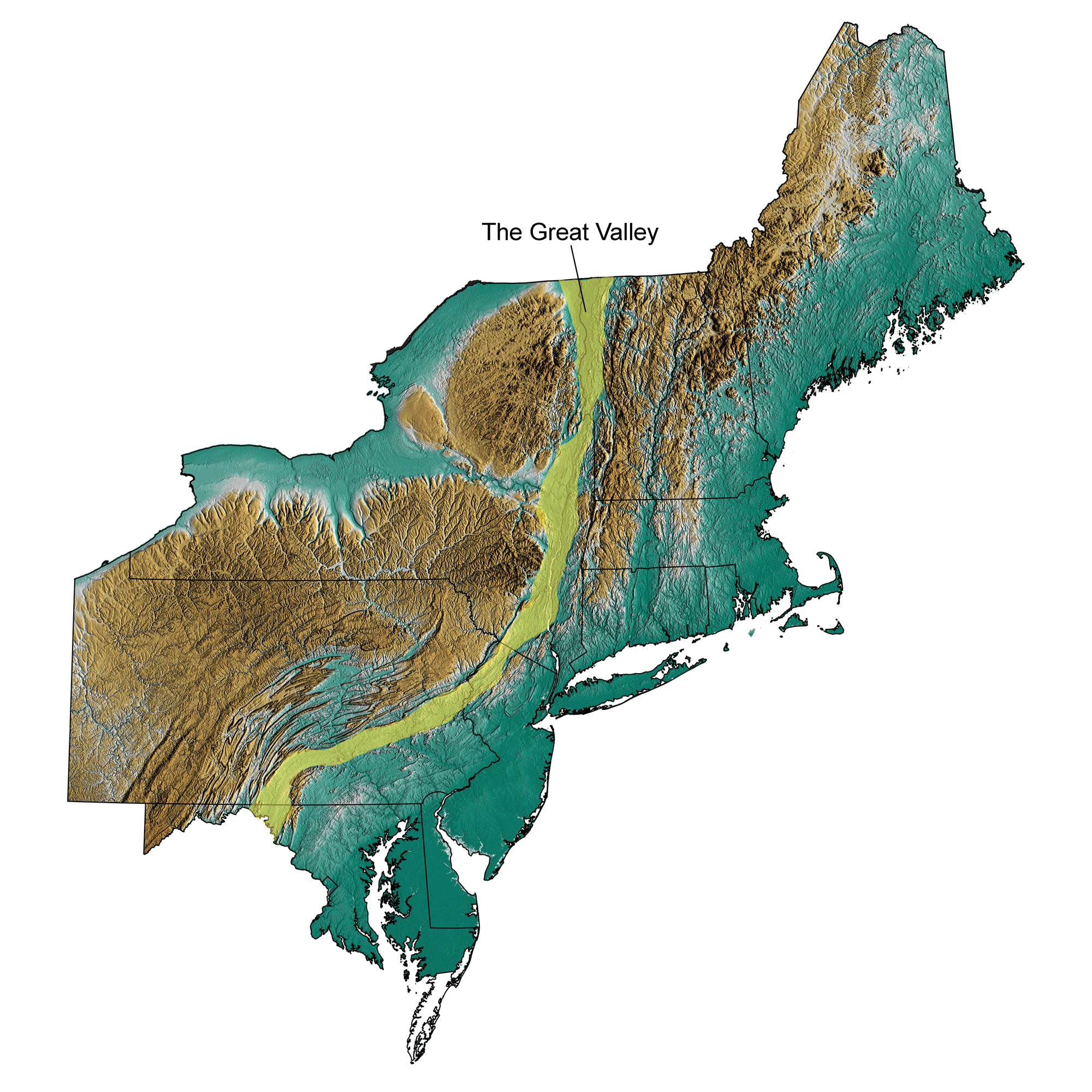
Major Mountain Ranges
Appalachian Mountains run through the region Green Mountains in Vermont White Mountains in New Hampshire Adirondack Mountains in New York

Rivers and Waterways of the Northeast
Coastal vs. Inland Features
{"left":"Rocky coastlines with cliffs and harbors\nSandy beaches and barrier islands\nMany bays and inlets\nCoastal plains near the ocean","right":"Rolling hills and valleys inland\nDense forests covering mountains\nFertile river valleys\nLakes formed by glaciers"}
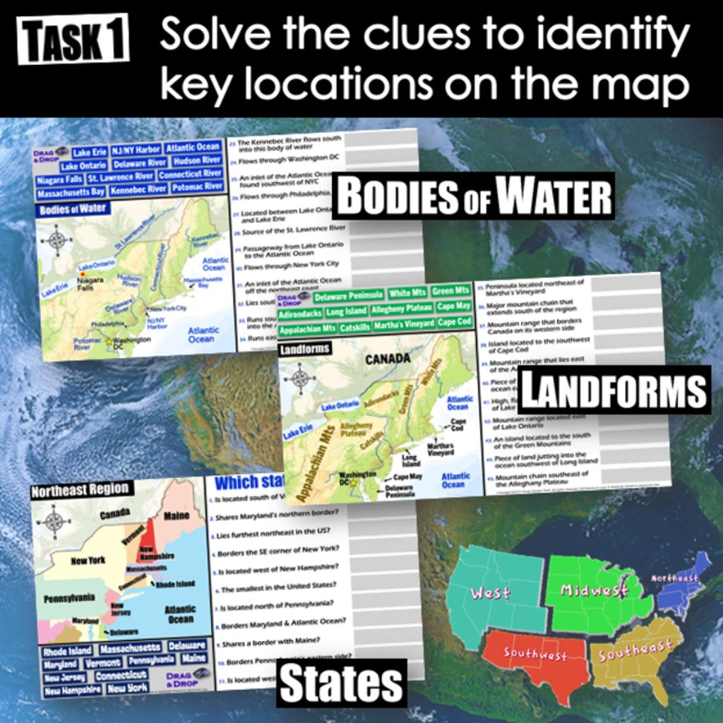
Geography Detective Activity
Look at the map of your state Find one mountain range Find one major river Find one body of water Share what you discovered!

Think and Discuss
How do you think the mountains and rivers in the Northeast affect where people choose to live? What activities might people do differently near the coast versus in the mountains?
Why Geography Matters
Land and water features shape how people live Rivers provide transportation and water Mountains give us natural resources Coasts allow for trade with other places Geography connects to history and culture