OtherFreePrintable
City Park Grid Map
A free other worksheet ready for your classroom. Open in Kuraplan to grab the print-ready PDF, customize it for your students, or generate a fresh version in seconds.
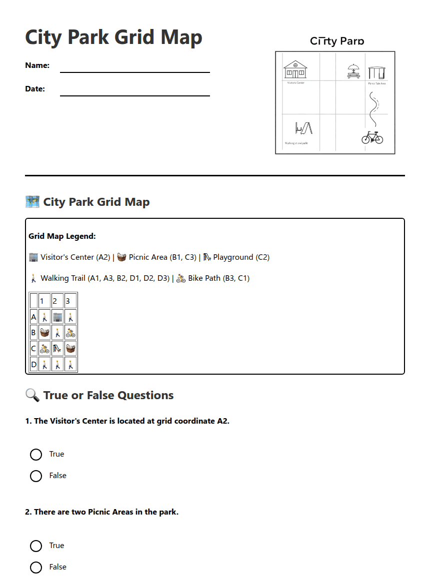
City Park Grid Map
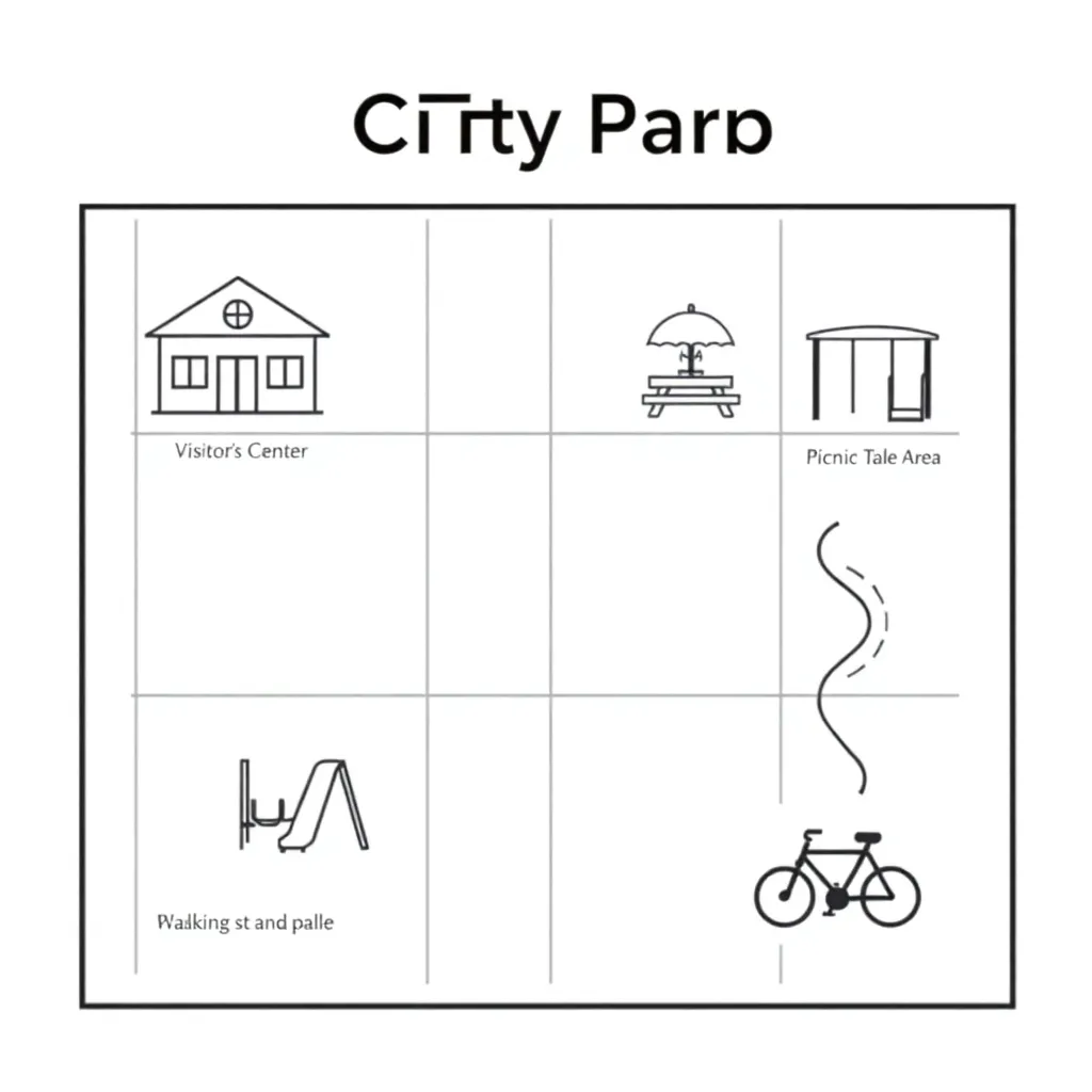
🗺️ City Park Grid Map
Grid Map Legend:
🏢 Visitor's Center (A2) | 🧺 Picnic Area (B1, C3) | 🛝 Playground (C2)
🚶 Walking Trail (A1, A3, B2, D1, D2, D3) | 🚴 Bike Path (B3, C1)
| 1 | 2 | 3 | |
| A | 🚶 | 🏢 | 🚶 |
| B | 🧺 | 🚶 | 🚴 |
| C | 🚴 | 🛝 | 🧺 |
| D | 🚶 | 🚶 | 🚶 |
🔍 True or False Questions
1. The Visitor's Center is located at grid coordinate A2.
True
False
2. There are two Picnic Areas in the park.
True
False
3. The Playground is located at coordinate C1.
True
False
4. The Walking Trail can be found in row D.
True
False
✏️ Written Response Questions
5. List all the grid coordinates where you can find the Walking Trail.
6. If you wanted to have a picnic and then take your children to play, which two grid coordinates would you visit? Explain your answer.
About This Worksheet
Free in Kuraplan
Sign up free, grab the PDF, and customize it for your class.
Print-Ready
Formatted for standard paper. Clean layout, easy to read.
AI-Generated
Created with Kuraplan's AI, designed for real classroom use.
For Teachers & Parents
Use in classrooms, for homework, tutoring, or homeschool.
Need a custom version of this worksheet?
Kuraplan's AI generates custom worksheets in seconds — differentiated for every learner, aligned to your curriculum.
Generate Custom Worksheets — Free No credit card Curriculum-aligned Under 60 seconds