Continents: Maps and Globes
A free social studies worksheet ready for your classroom. Open in Kuraplan to grab the print-ready PDF, customize it for your students, or generate a fresh version in seconds.
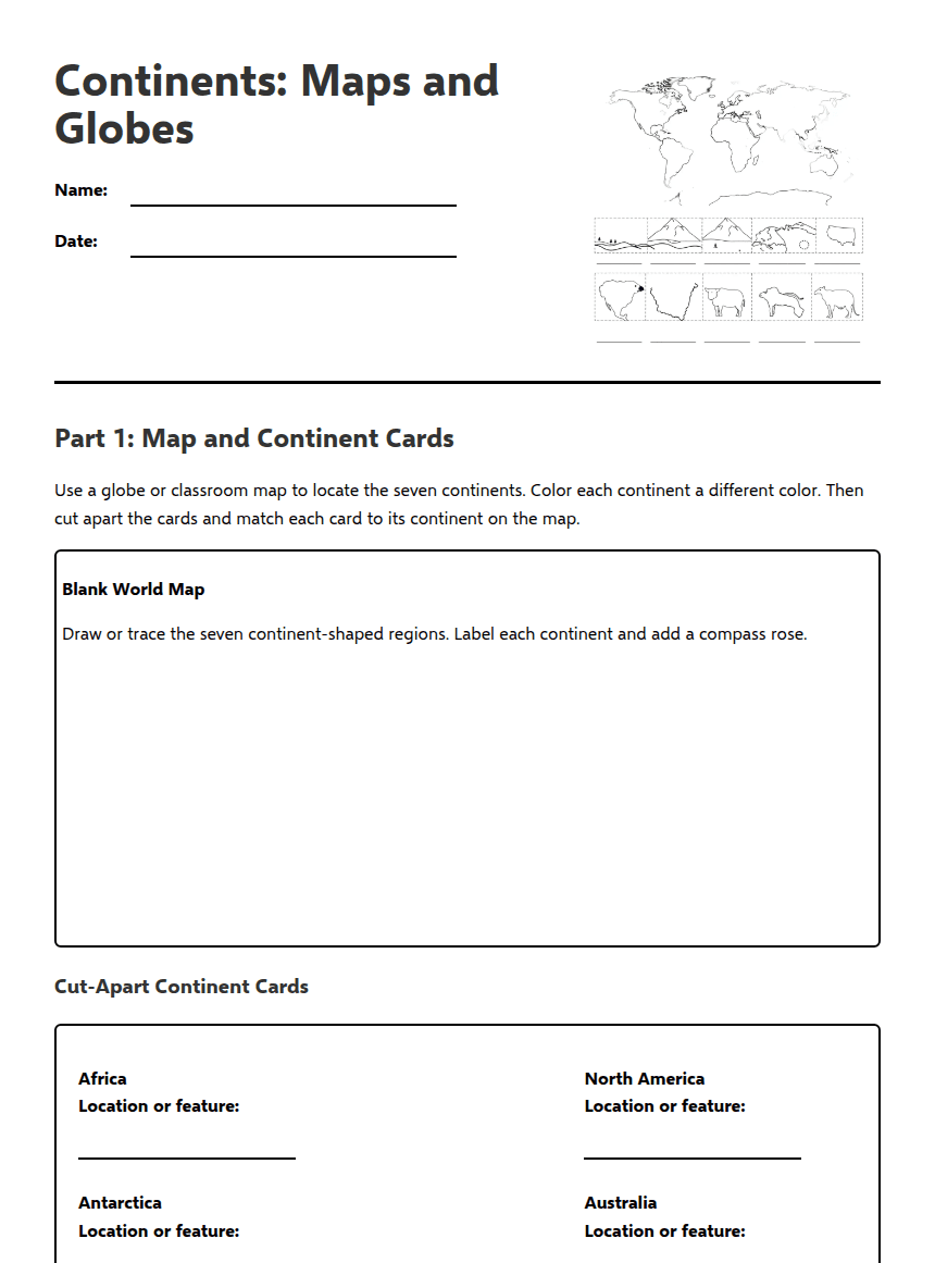
Continents: Maps and Globes
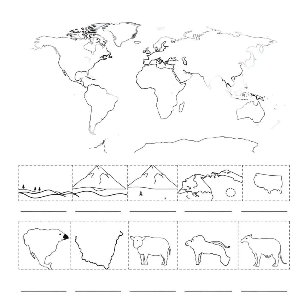
Part 1: Map and Continent Cards
Use a globe or classroom map to locate the seven continents. Color each continent a different color. Then cut apart the cards and match each card to its continent on the map.
Blank World Map
Draw or trace the seven continent-shaped regions. Label each continent and add a compass rose.
Cut-Apart Continent Cards
Location or feature:
Location or feature:
Location or feature:
Location or feature:
Location or feature:
Location or feature:
Location or feature:
Sentence frame: “_____ is located _____ of _____.”
Part 2: Read and Think
Earth’s Seven Continents
Earth has seven large land areas called continents. They are Africa, Antarctica, Asia, Europe, North America, Australia, and South America. Each continent has its own locations, landforms, climates, plants, animals, and people. Asia is the largest continent, while Australia is the smallest continent. Antarctica surrounds the South Pole and is covered mostly by ice. Africa is crossed by the Equator, an imaginary line around the middle of Earth. North America and South America are connected by a narrow strip of land. Europe is next to Asia, and the two continents are sometimes called Eurasia. Australia is both a continent and a country. Oceans surround all of the continents and separate many of them.
A globe is a round model of Earth. Because it is curved like Earth, a globe shows the continents’ overall shapes and positions more realistically. A flat world map is easier to carry, label, and use for quick comparisons. However, flattening Earth onto a map can stretch or change the size and shape of some places. Globes and maps are both useful tools for locating continents and studying our planet.
Main idea 1: ________________________________________________________________
Main idea 2: ________________________________________________________________
They are alike because ______________________________________________________
They are different because __________________________________________________
Sentence frame: “The text explains that ____________________________________. One important detail is ____________________________________.”
Part 3: Exit Check
Sentence frame: “_____ is located or has the feature __________________________.”
Sentence frame: “A globe is different from a flat map because __________________________.”
About This Worksheet
Free in Kuraplan
Sign up free, grab the PDF, and customize it for your class.
Print-Ready
Formatted for standard paper. Clean layout, easy to read.
AI-Generated
Created with Kuraplan's AI, designed for real classroom use.
For Teachers & Parents
Use in classrooms, for homework, tutoring, or homeschool.
Need a custom version of this worksheet?
Kuraplan's AI generates custom worksheets in seconds — differentiated for every learner, aligned to your curriculum.
Generate Custom Worksheets — Free