Indigenous Nations and Colonial Maps
A free us history worksheet ready for your classroom. Open in Kuraplan to grab the print-ready PDF, customize it for your students, or generate a fresh version in seconds.
Indigenous Nations and Colonial Maps
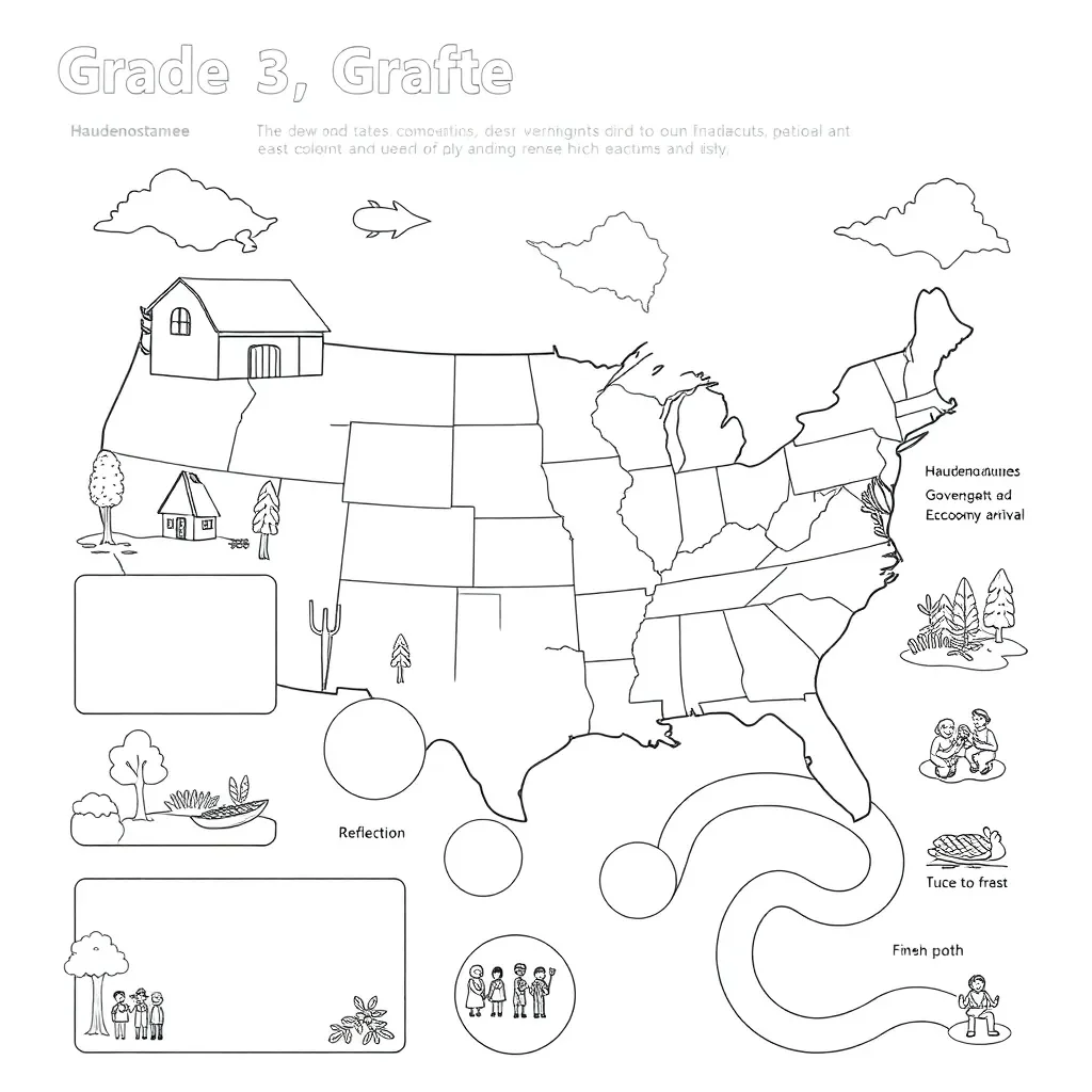
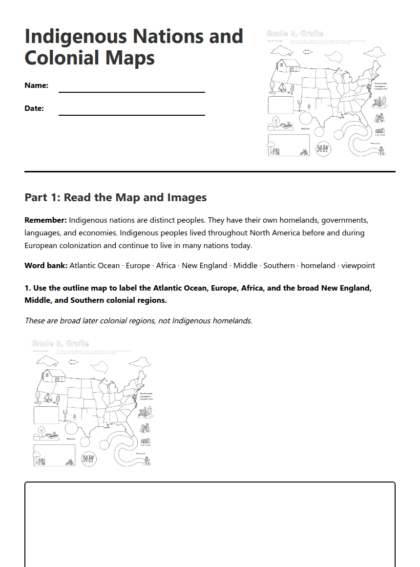
Part 1: Read the Map and Images
Remember: Indigenous nations are distinct peoples. They have their own homelands, governments, languages, and economies. Indigenous peoples lived throughout North America before and during European colonization and continue to live in many nations today.
Word bank: Atlantic Ocean · Europe · Africa · New England · Middle · Southern · homeland · viewpoint
These are broad later colonial regions, not Indigenous homelands.
Part 2: Learn About Two Indigenous Nations
Source Panel A: Haudenosaunee Confederacy
The Haudenosaunee lived in parts of the northeastern woodlands. Several nations formed a political confederacy, working together while keeping their own communities. Haudenosaunee people farmed crops such as corn, beans, and squash. They also hunted, gathered, and participated in trade.
Source Panel B: Powhatan Nations
Powhatan communities lived in the Chesapeake region. Many connected communities were organized through a paramount chiefdom. Powhatan people used farming, fishing, hunting, and trade. Rivers and the Chesapeake Bay were important to life in the region.
Sentence starters: “Their homeland included ______.” “Their government was organized by ______.” “Their economy included ______.”
Homeland and environment: One similarity is ________________________________________________.
One difference is __________________________________________________________________.
Government: One difference is ______________________________________________________.
Economy: One similarity or difference is ____________________________________________.
Part 3: Maps and Viewpoints
Sentence starter: “This map shows __________, but it may leave out __________ because __________.”
Sentence starter: “One way beginning before European settlement changes the story is __________.”
About This Worksheet
Free in Kuraplan
Sign up free, grab the PDF, and customize it for your class.
Print-Ready
Formatted for standard paper. Clean layout, easy to read.
AI-Generated
Created with Kuraplan's AI, designed for real classroom use.
For Teachers & Parents
Use in classrooms, for homework, tutoring, or homeschool.
Need a custom version of this worksheet?
Kuraplan's AI generates custom worksheets in seconds — differentiated for every learner, aligned to your curriculum.
Generate Custom Worksheets — FreeMore US History Worksheets
Washington Jefferson Political Legacy
Free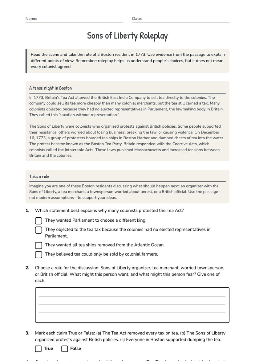
Sons of Liberty Roleplay
Free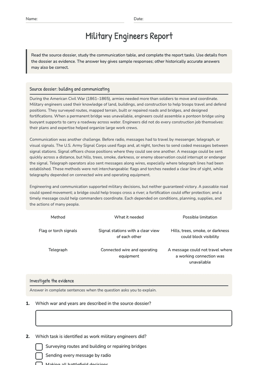
Military Engineers Report
Free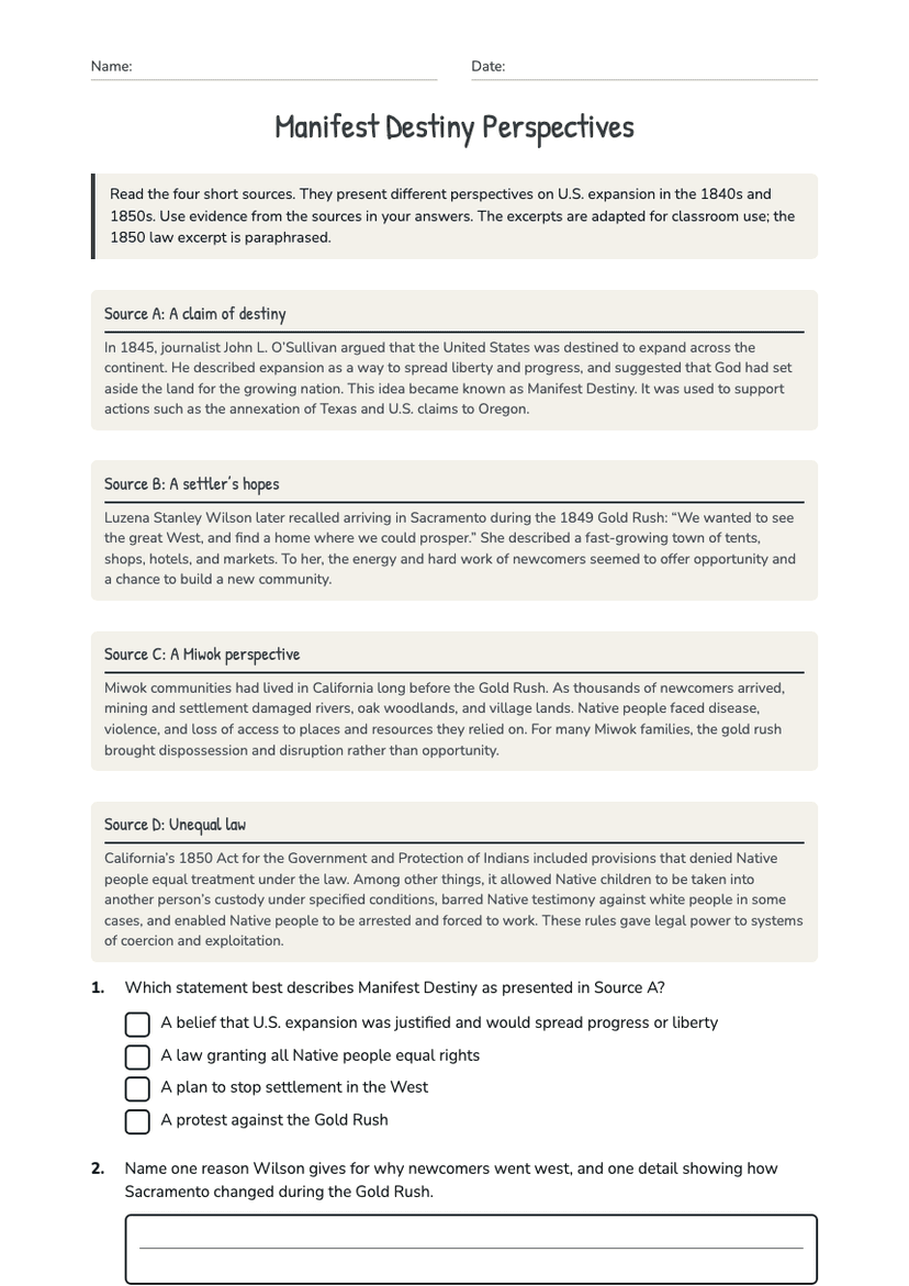
Manifest Destiny Perspectives
Free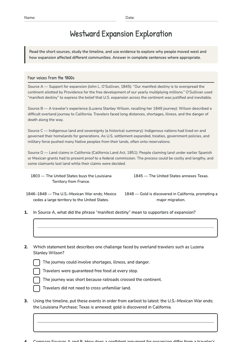
Westward Expansion Exploration
Free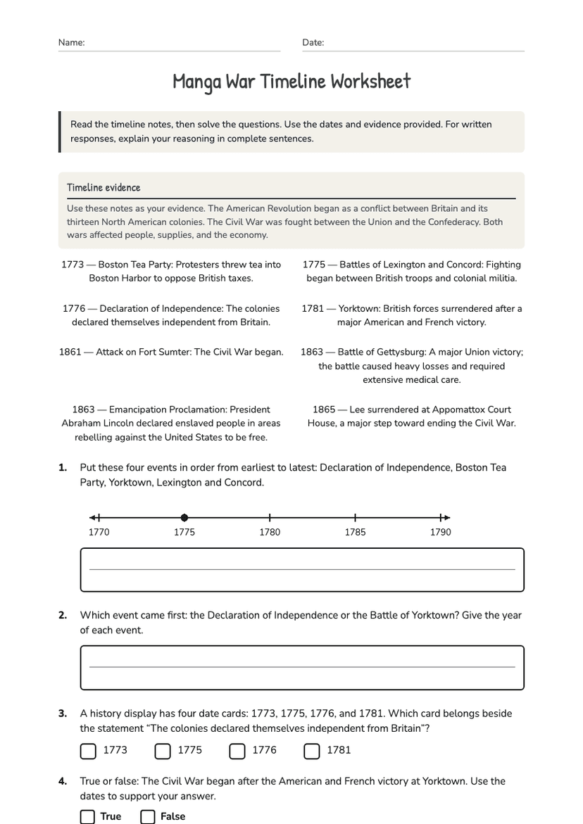
Manga War Timeline Worksheet
Free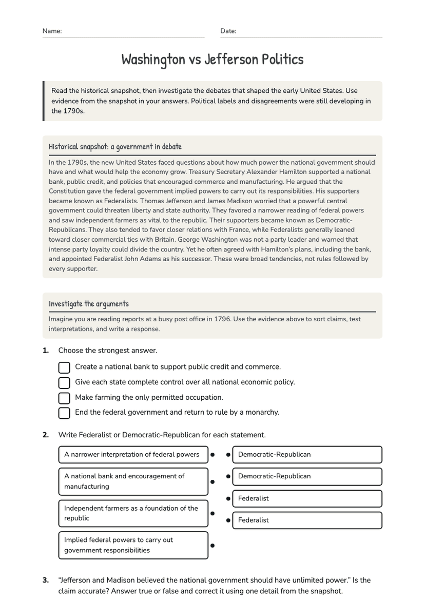
Washington vs Jefferson Politics
Free