Town Map Detectives
A free social studies worksheet ready for your classroom. Open in Kuraplan to grab the print-ready PDF, customize it for your students, or generate a fresh version in seconds.
Town Map Detectives
📚 Part 1: Read the Map Clues
I can use a map’s title, legend, symbols, directions, scale, and grid to find information.
Success criteria: I can locate places with grid references, use cardinal and intermediate directions, explain symbols, and use a map scale.
A map title tells what the map shows. A legend, or key, explains symbols and colors. A compass rose shows directions: north, south, east, and west. Northeast, southeast, southwest, and northwest are intermediate directions. A scale compares map distance with real distance. A grid reference names a place by its column letter and row number.
Physical maps show natural features such as rivers, mountains, and lakes. Political maps show human-made features such as towns, cities, borders, and roads. Both types can have titles, legends, symbols, directions, and scales. Maps help readers understand information they cannot easily see in a paragraph.
CCSS.ELA-LITERACY.RI.4.7: Interpret information presented visually and explain how it adds to understanding.
CCSS.ELA-LITERACY.RI.4.10: Read and understand grade-level informational text.
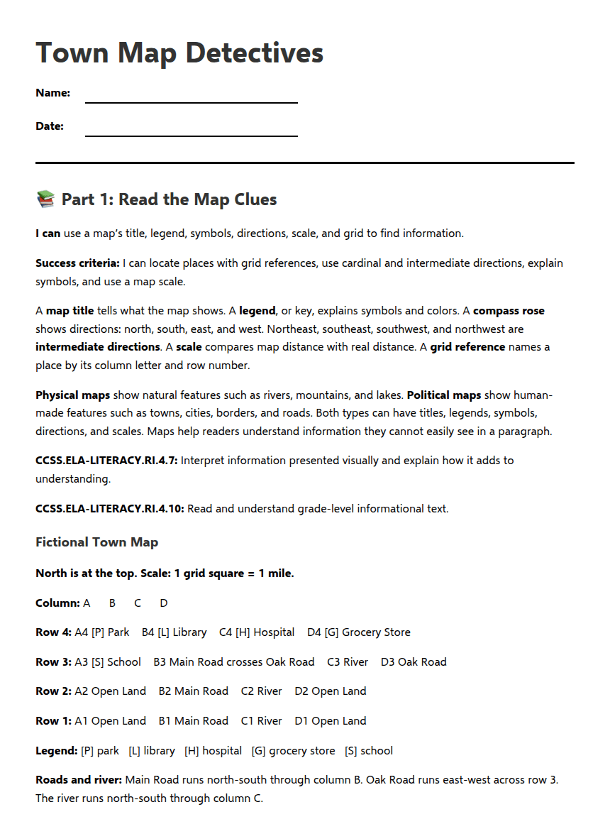
Fictional Town Map
North is at the top. Scale: 1 grid square = 1 mile.
Column: A B C D
Row 4: A4 [P] Park B4 [L] Library C4 [H] Hospital D4 [G] Grocery Store
Row 3: A3 [S] School B3 Main Road crosses Oak Road C3 River D3 Oak Road
Row 2: A2 Open Land B2 Main Road C2 River D2 Open Land
Row 1: A1 Open Land B1 Main Road C1 River D1 Open Land
Legend: [P] park [L] library [H] hospital [G] grocery store [S] school
Roads and river: Main Road runs north-south through column B. Oak Road runs east-west across row 3. The river runs north-south through column C.
🔎 Part 2: Solve the Map Mystery
Answer: __________ mile
🎫 Part 3: Exit Ticket and Teacher Key
Answer: ________________________________________________
Answer: ________________________________________________
Answer Key
1. C. C4
2. B. Library
3. D. [S]
4. A. North
5. 1 mile
6. Acceptable answers include physical feature: river or open land; human-made feature: road, school, library, hospital, park, or grocery store.
7. Answers should explain that the map helps people find places, plan routes, understand distances, or identify natural and human-made features. Students should include a map detail.
8. The legend or key.
9. East.
10. A political map shows human-made places and boundaries, such as cities. A physical map shows natural features, such as rivers.
Support and Extension
Support: Read the passage with a partner, use the legend and a compass rose while answering, highlight the grid letters and numbers, or give an oral response. Use the sentence frame: “The map shows ______, so people can ______.”
Extension: Design a map-choice guide explaining which map to use for finding a city, river, mountain, or boundary. Explain why some maps may combine physical and political information.
About This Worksheet
Free in Kuraplan
Sign up free, grab the PDF, and customize it for your class.
Print-Ready
Formatted for standard paper. Clean layout, easy to read.
AI-Generated
Created with Kuraplan's AI, designed for real classroom use.
For Teachers & Parents
Use in classrooms, for homework, tutoring, or homeschool.
Need a custom version of this worksheet?
Kuraplan's AI generates custom worksheets in seconds — differentiated for every learner, aligned to your curriculum.
Generate Custom Worksheets — Free