Social StudiesFreePrintable
Why Geography Matters Test
A free social studies worksheet ready for your classroom. Open in Kuraplan to grab the print-ready PDF, customize it for your students, or generate a fresh version in seconds.
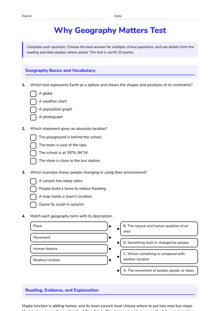
Name:Date:
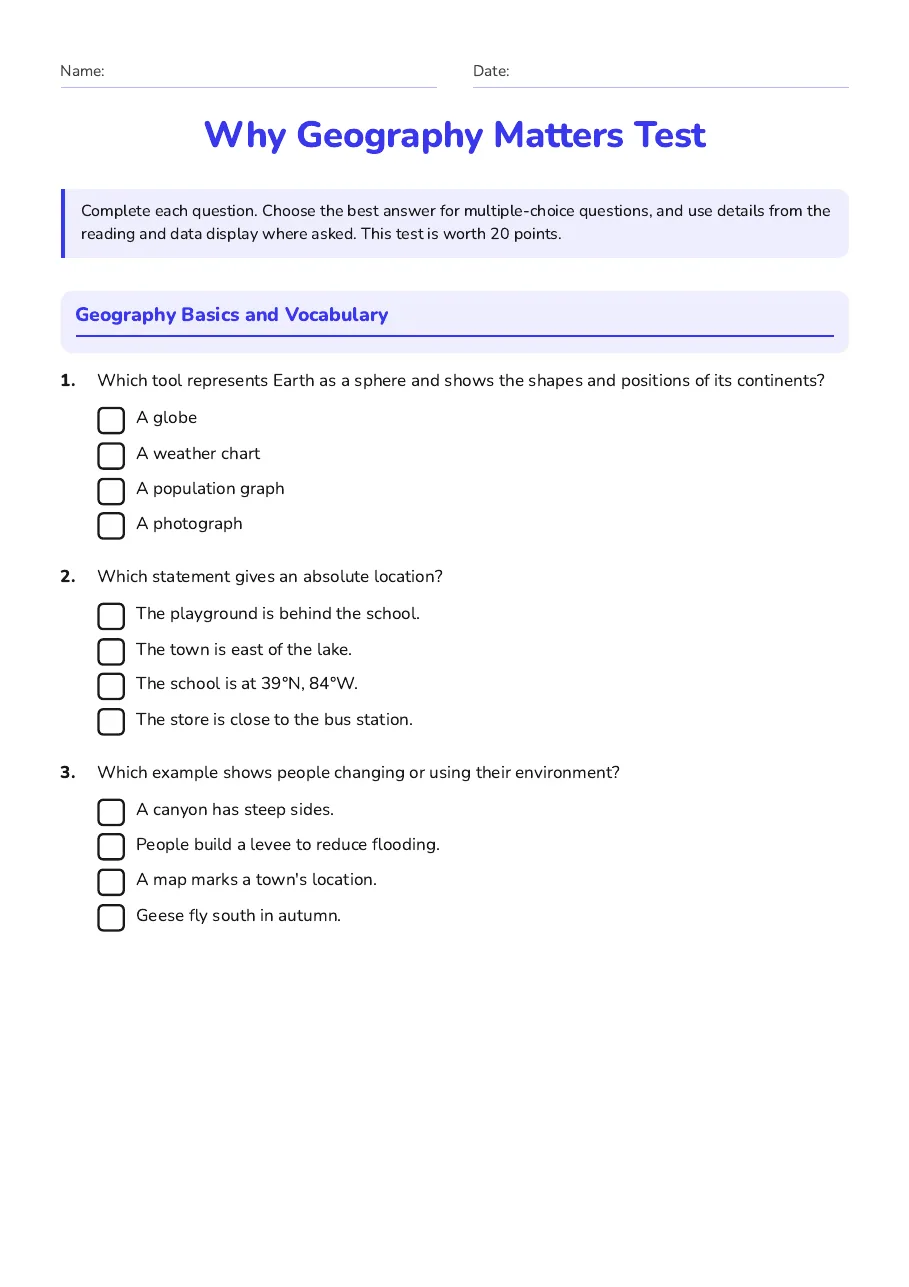
Why Geography Matters Test
Complete each question. Choose the best answer for multiple-choice questions, and use details from the reading and data display where asked. This test is worth 20 points.
Geography Basics and Vocabulary
1.Which tool represents Earth as a sphere and shows the shapes and positions of its continents?
- A globe
- A weather chart
- A population graph
- A photograph
2.Which statement gives an absolute location?
- The playground is behind the school.
- The town is east of the lake.
- The school is at 39°N, 84°W.
- The store is close to the bus station.
3.Which example shows people changing or using their environment?
- A canyon has steep sides.
- People build a levee to reduce flooding.
- A map marks a town's location.
- Geese fly south in autumn.
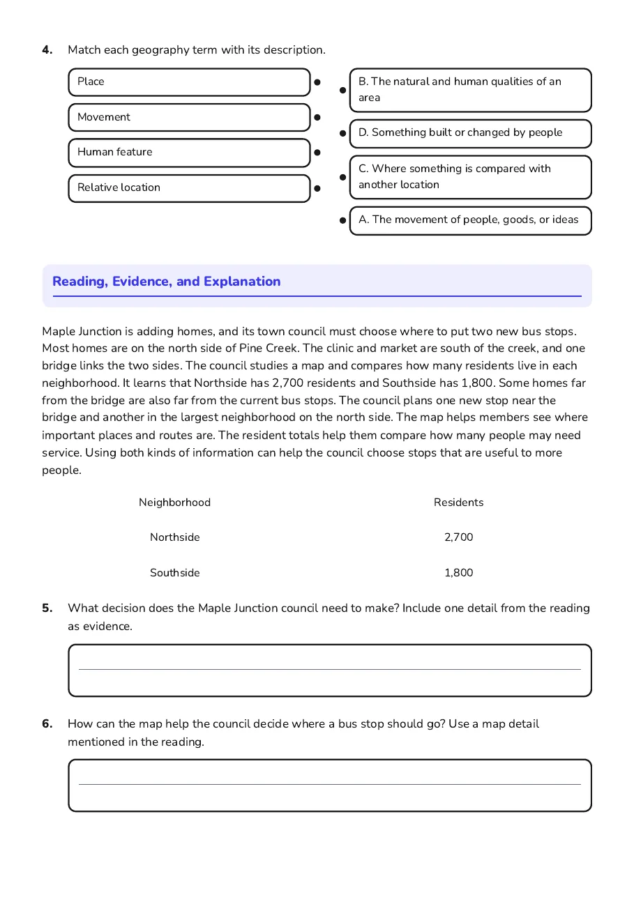
4.Match each geography term with its description.
- Place
- Movement
- Human feature
- Relative location
- B. The natural and human qualities of an area
- D. Something built or changed by people
- C. Where something is compared with another location
- A. The movement of people, goods, or ideas
Reading, Evidence, and Explanation
Maple Junction is adding homes, and its town council must choose where to put two new bus stops. Most homes are on the north side of Pine Creek. The clinic and market are south of the creek, and one bridge links the two sides. The council studies a map and compares how many residents live in each neighborhood. It learns that Northside has 2,700 residents and Southside has 1,800. Some homes far from the bridge are also far from the current bus stops. The council plans one new stop near the bridge and another in the largest neighborhood on the north side. The map helps members see where important places and routes are. The resident totals help them compare how many people may need service. Using both kinds of information can help the council choose stops that are useful to more people.
Neighborhood
Residents
Northside
2,700
Southside
1,800
5.What decision does the Maple Junction council need to make? Include one detail from the reading as evidence.
6.How can the map help the council decide where a bus stop should go? Use a map detail mentioned in the reading.
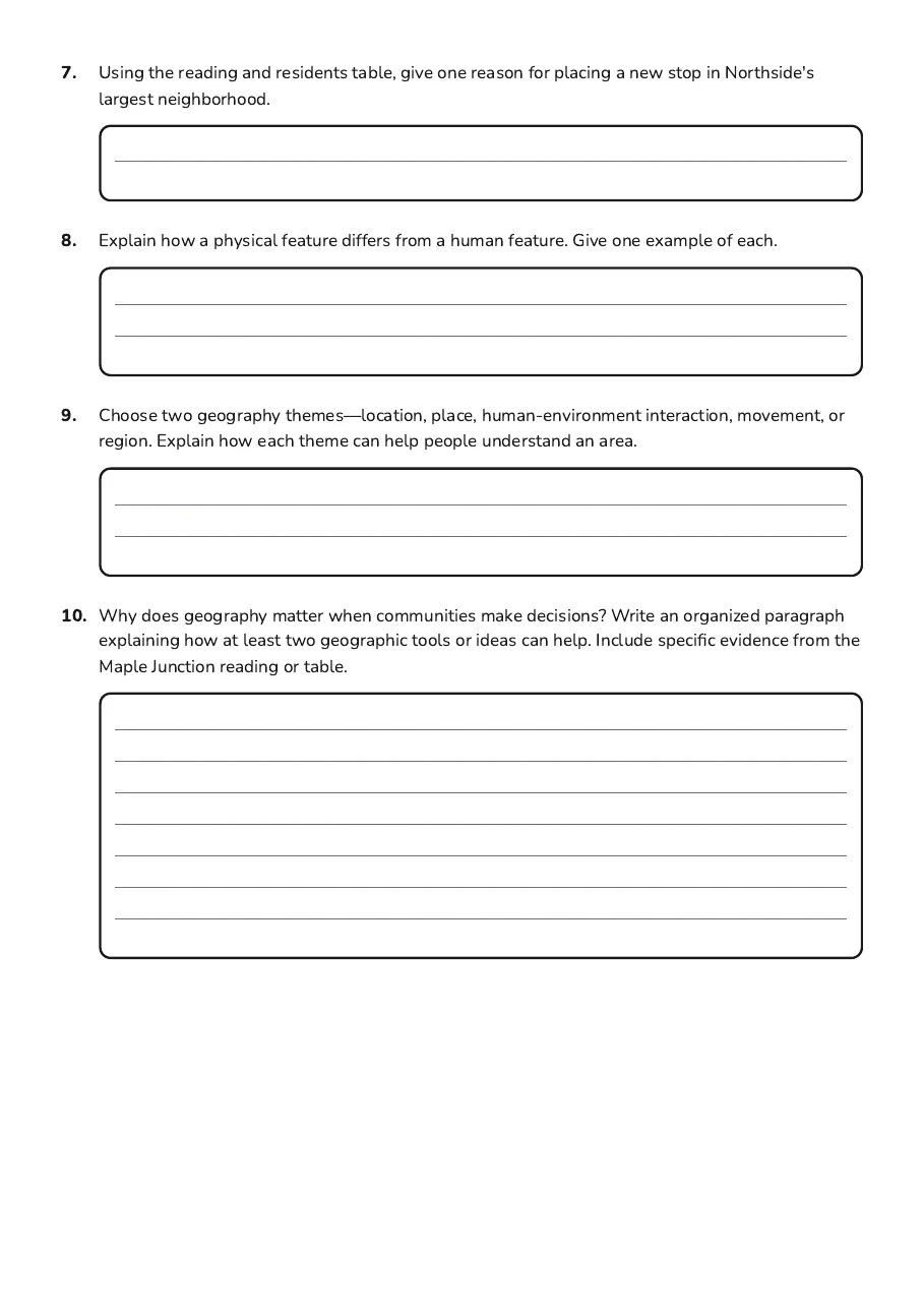
7.Using the reading and residents table, give one reason for placing a new stop in Northside's largest neighborhood.
8.Explain how a physical feature differs from a human feature. Give one example of each.
9.Choose two geography themes—location, place, human-environment interaction, movement, or region. Explain how each theme can help people understand an area.
10.Why does geography matter when communities make decisions? Write an organized paragraph explaining how at least two geographic tools or ideas can help. Include specific evidence from the Maple Junction reading or table.
3 printable pages
Page 1
Page 2
Page 3
About This Worksheet
Free in Kuraplan
Sign up free, grab the PDF, and customize it for your class.
Print-Ready
Formatted for standard paper. Clean layout, easy to read.
AI-Generated
Created with Kuraplan's AI, designed for real classroom use.
For Teachers & Parents
Use in classrooms, for homework, tutoring, or homeschool.
Need a custom version of this worksheet?
Kuraplan's AI generates custom worksheets in seconds — differentiated for every learner, aligned to your curriculum.
Generate Custom Worksheets — Free No credit card Curriculum-aligned Under 60 seconds