New Zealand Rivers Geography
A free social sciences worksheet ready for your classroom. Open in Kuraplan to grab the print-ready PDF, customize it for your students, or generate a fresh version in seconds.
New Zealand Rivers Geography
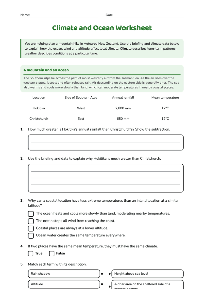
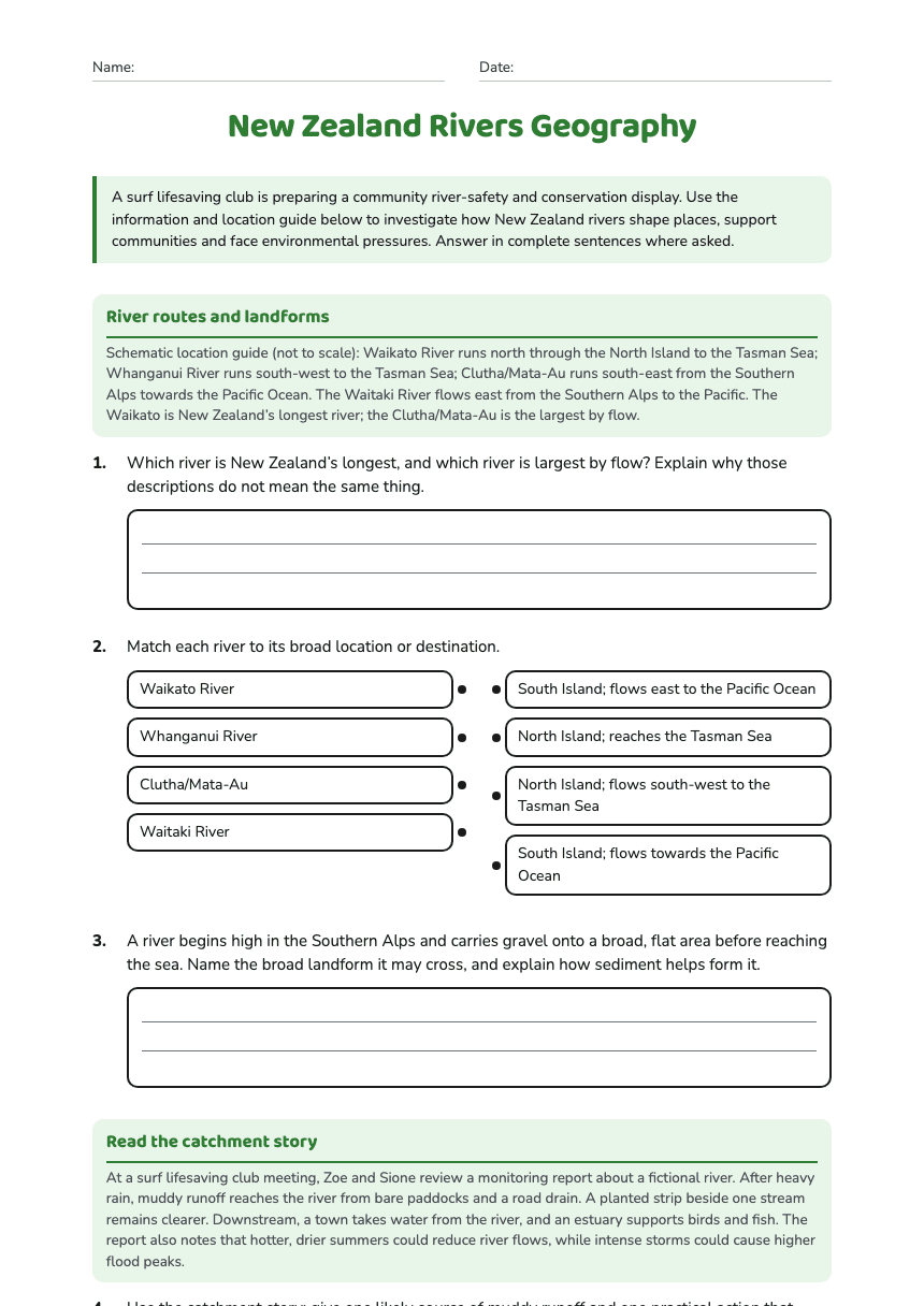
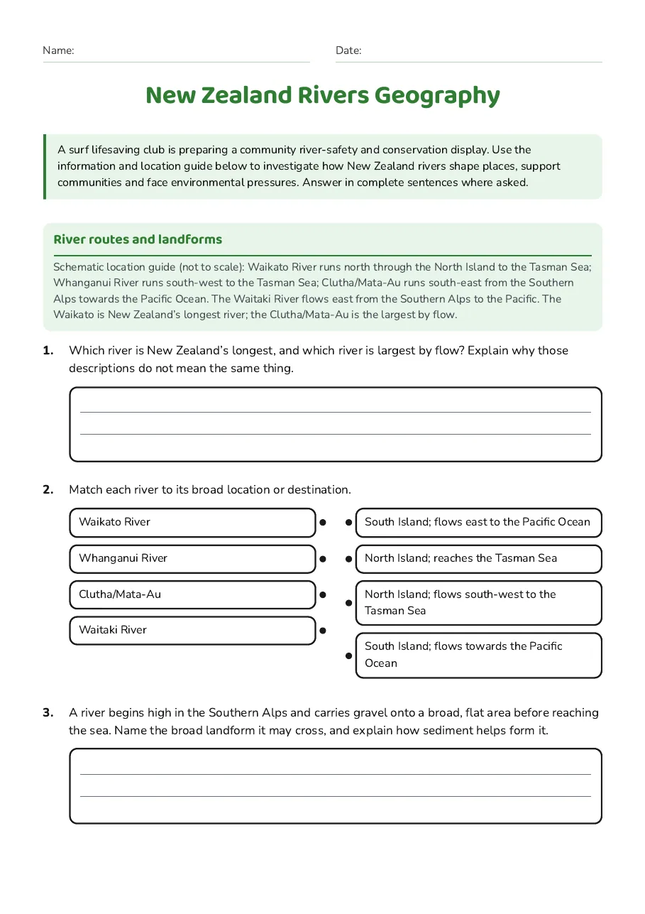
River routes and landforms
Schematic location guide (not to scale): Waikato River runs north through the North Island to the Tasman Sea; Whanganui River runs south-west to the Tasman Sea; Clutha/Mata-Au runs south-east from the Southern Alps towards the Pacific Ocean. The Waitaki River flows east from the Southern Alps to the Pacific. The Waikato is New Zealand’s longest river; the Clutha/Mata-Au is the largest by flow.
- Waikato River
- Whanganui River
- Clutha/Mata-Au
- Waitaki River
- South Island; flows east to the Pacific Ocean
- North Island; reaches the Tasman Sea
- North Island; flows south-west to the Tasman Sea
- South Island; flows towards the Pacific Ocean
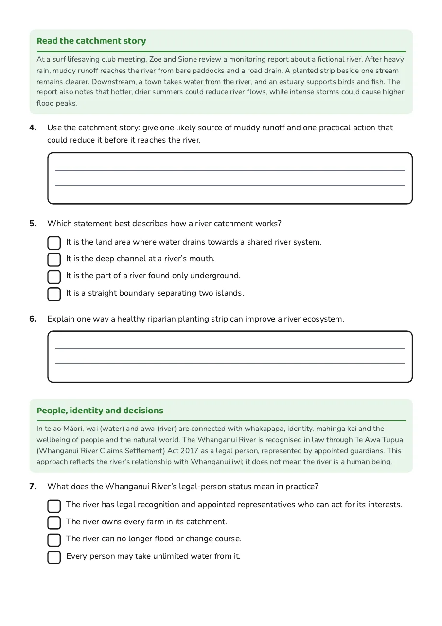
Read the catchment story
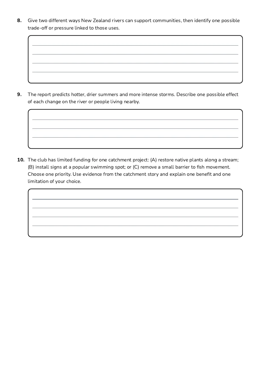
At a surf lifesaving club meeting, Zoe and Sione review a monitoring report about a fictional river. After heavy rain, muddy runoff reaches the river from bare paddocks and a road drain. A planted strip beside one stream remains clearer. Downstream, a town takes water from the river, and an estuary supports birds and fish. The report also notes that hotter, drier summers could reduce river flows, while intense storms could cause higher flood peaks.
- It is the land area where water drains towards a shared river system.
- It is the deep channel at a river’s mouth.
- It is the part of a river found only underground.
- It is a straight boundary separating two islands.
People, identity and decisions
In te ao Māori, wai (water) and awa (river) are connected with whakapapa, identity, mahinga kai and the wellbeing of people and the natural world. The Whanganui River is recognised in law through Te Awa Tupua (Whanganui River Claims Settlement) Act 2017 as a legal person, represented by appointed guardians. This approach reflects the river’s relationship with Whanganui iwi; it does not mean the river is a human being.
- The river has legal recognition and appointed representatives who can act for its interests.
- The river owns every farm in its catchment.
- The river can no longer flood or change course.
- Every person may take unlimited water from it.
3 printable pages
Page 1
Page 2
Page 3
About This Worksheet
Free in Kuraplan
Sign up free, grab the PDF, and customize it for your class.
Print-Ready
Formatted for standard paper. Clean layout, easy to read.
AI-Generated
Created with Kuraplan's AI, designed for real classroom use.
For Teachers & Parents
Use in classrooms, for homework, tutoring, or homeschool.
Need a custom version of this worksheet?
Kuraplan's AI generates custom worksheets in seconds — differentiated for every learner, aligned to your curriculum.
Generate Custom Worksheets — FreeMore Social Sciences Worksheets
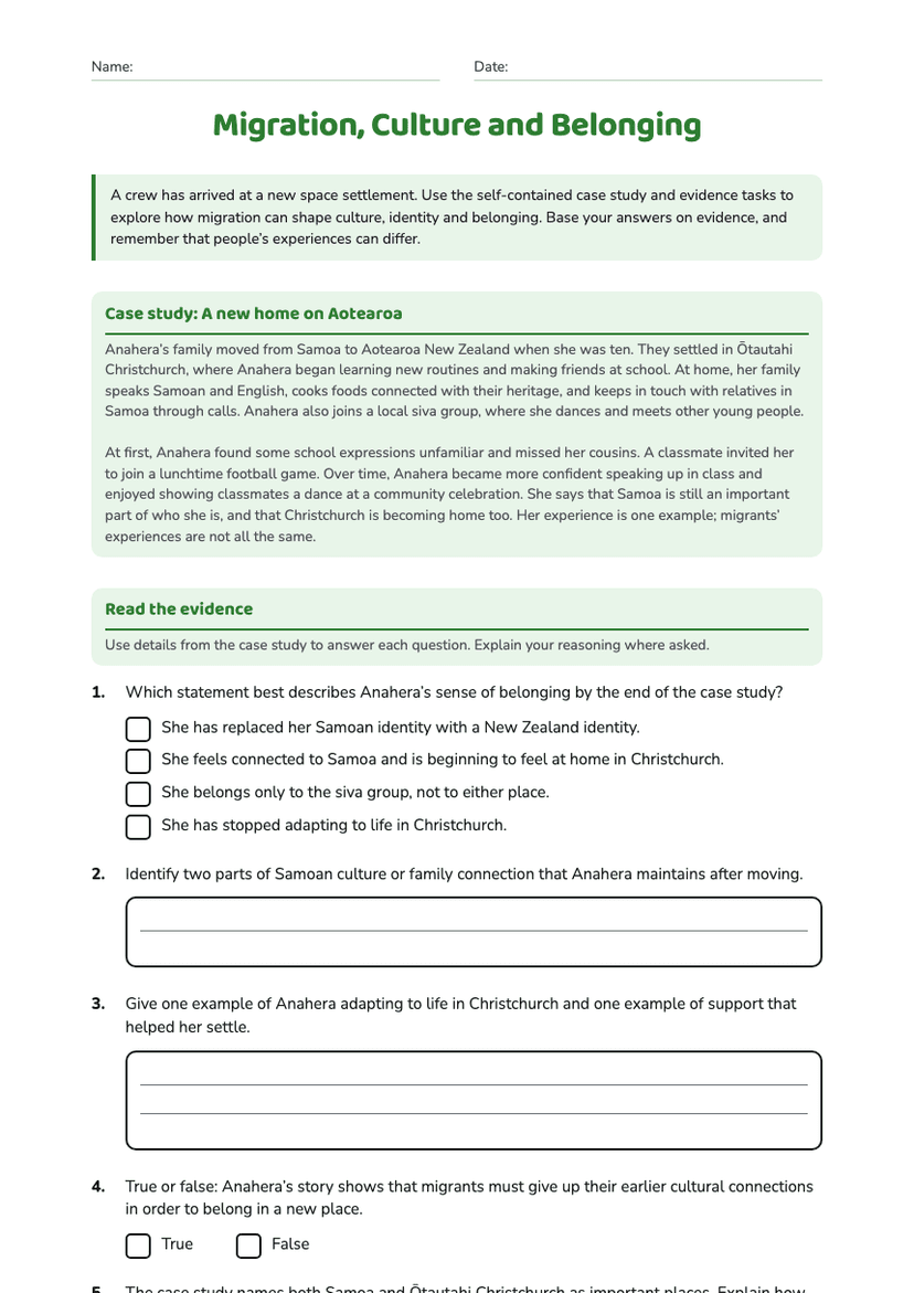
Migration, Culture and Belonging
Free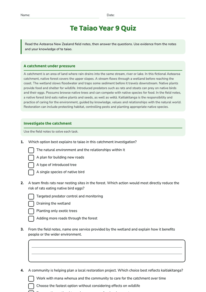
Te Taiao Year 9 Quiz
Free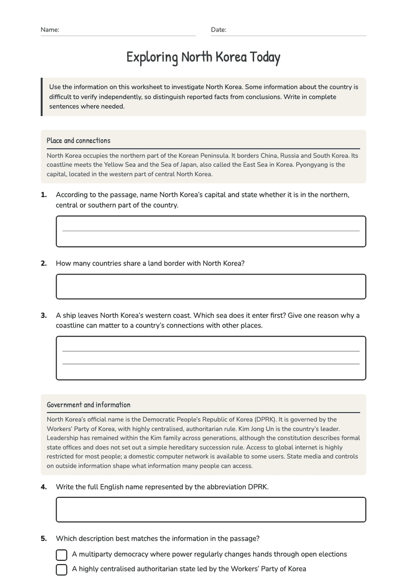
Exploring North Korea Today
Free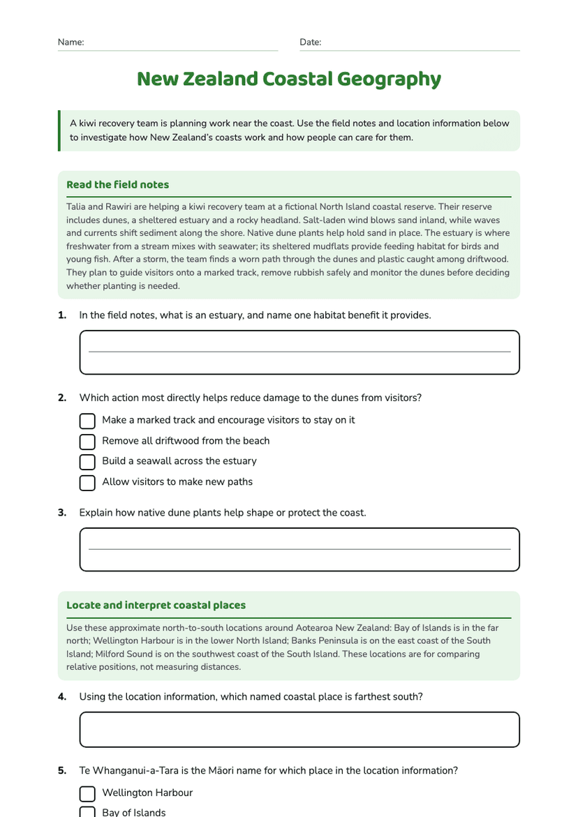
New Zealand Coastal Geography
Free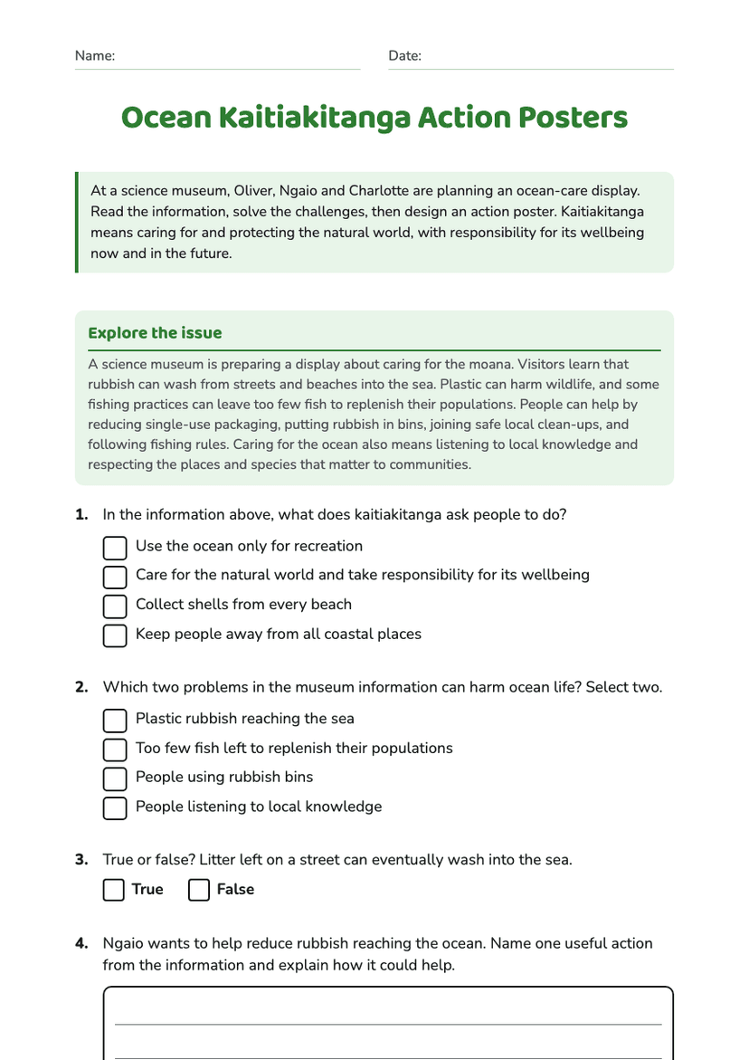
Ocean Kaitiakitanga Action Posters
Free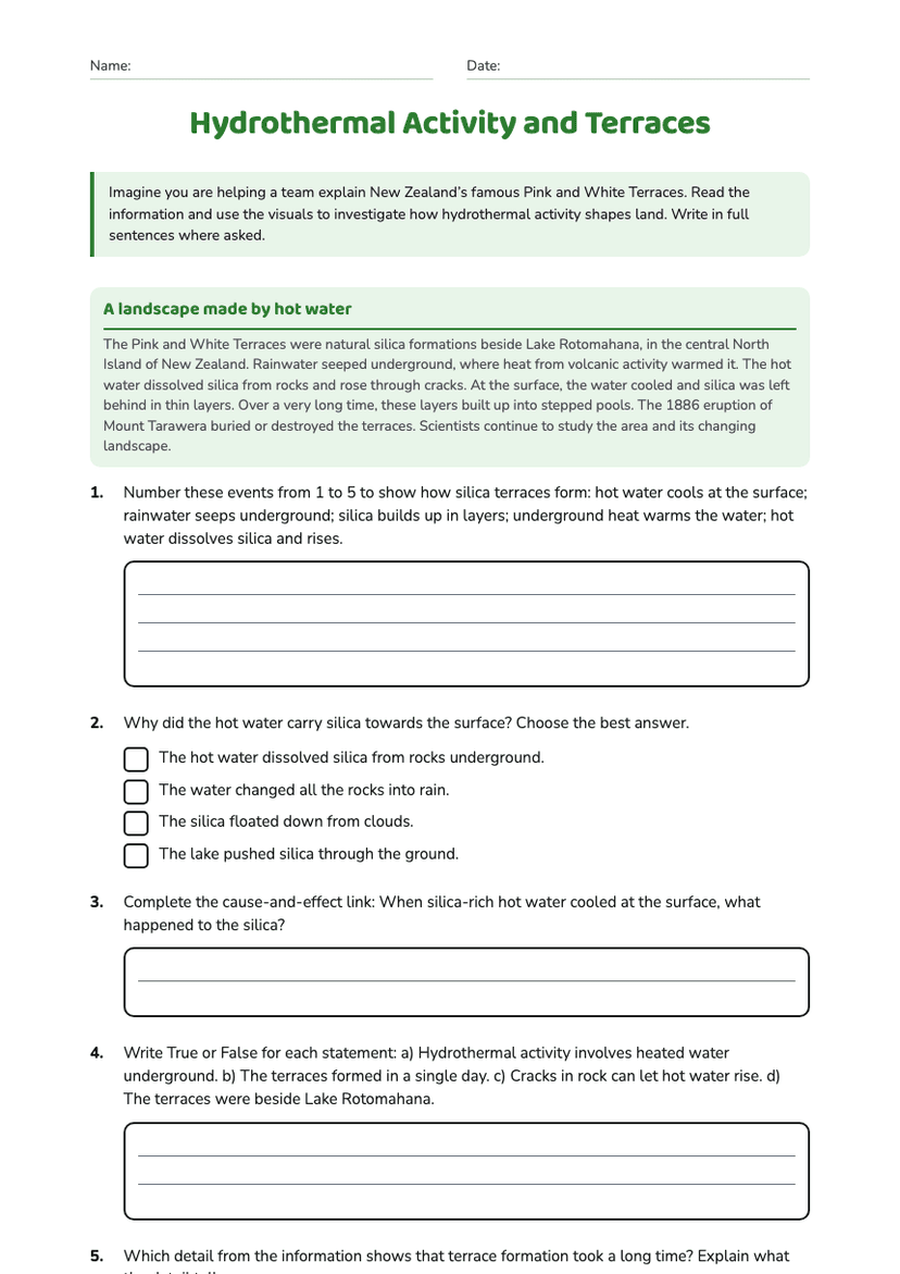
Hydrothermal Activity and Terraces
Free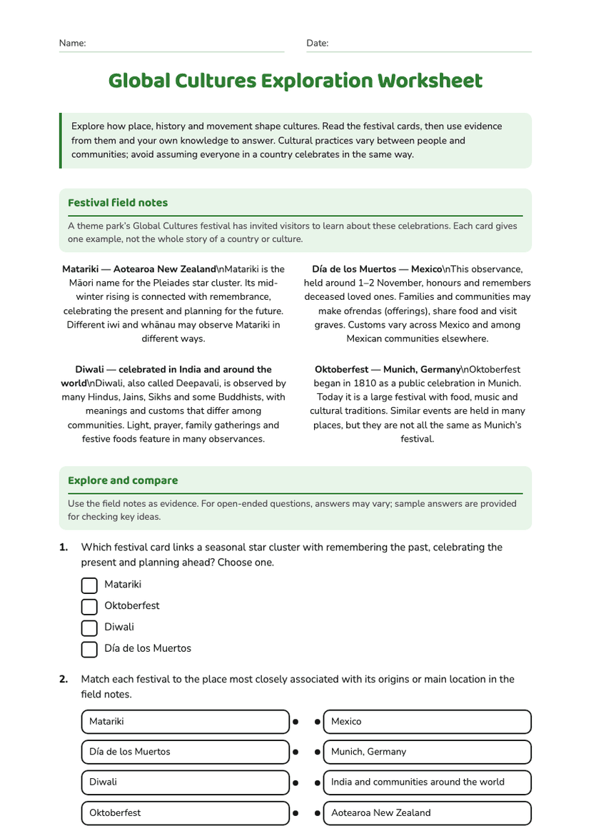
Global Cultures Exploration Worksheet
Free