Population Density Map Reading
A free social sciences worksheet ready for your classroom. Open in Kuraplan to grab the print-ready PDF, customize it for your students, or generate a fresh version in seconds.
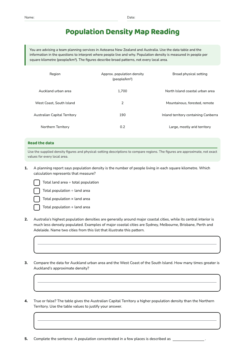
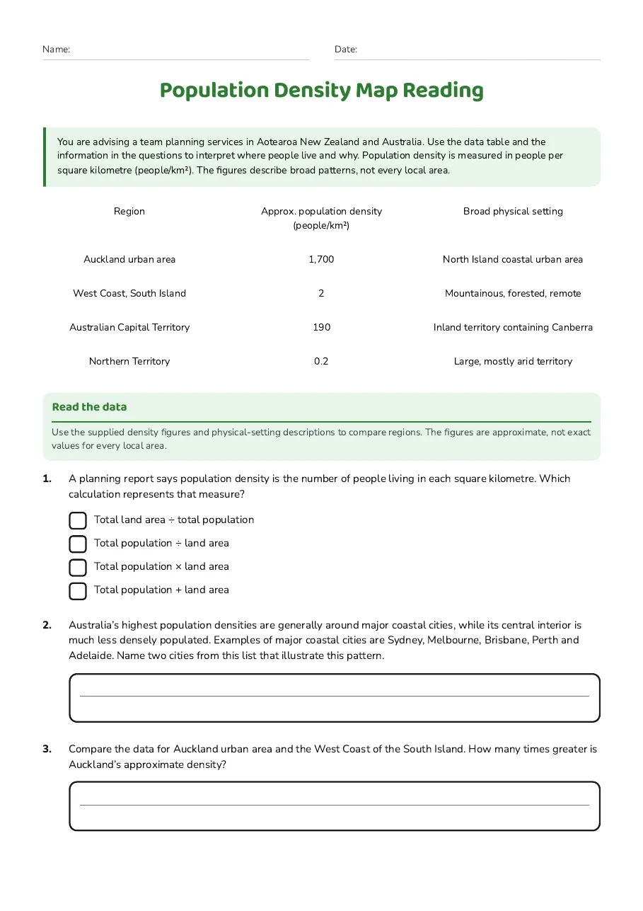
Population Density Map Reading
Region
Approx. population density (people/km²)
Broad physical setting
Auckland urban area
1,700
North Island coastal urban area
West Coast, South Island
2
Mountainous, forested, remote
Australian Capital Territory
190
Inland territory containing Canberra
Northern Territory
0.2
Large, mostly arid territory
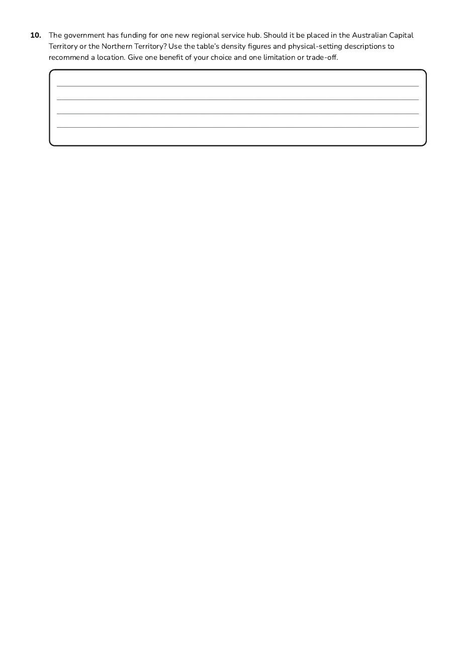
Read the data
Use the supplied density figures and physical-setting descriptions to compare regions. The figures are approximate, not exact values for every local area.
- Total land area ÷ total population
- Total population ÷ land area
- Total population × land area
- Total population + land area
3 printable pages
Page 1
Page 2
Page 3
About This Worksheet
Free in Kuraplan
Sign up free, grab the PDF, and customize it for your class.
Print-Ready
Formatted for standard paper. Clean layout, easy to read.
AI-Generated
Created with Kuraplan's AI, designed for real classroom use.
For Teachers & Parents
Use in classrooms, for homework, tutoring, or homeschool.
Need a custom version of this worksheet?
Kuraplan's AI generates custom worksheets in seconds — differentiated for every learner, aligned to your curriculum.
Generate Custom Worksheets — FreeMore Social Sciences Worksheets
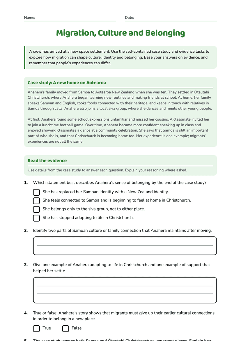
Migration, Culture and Belonging
Free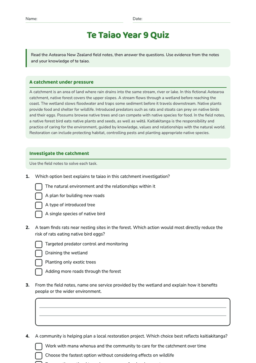
Te Taiao Year 9 Quiz
Free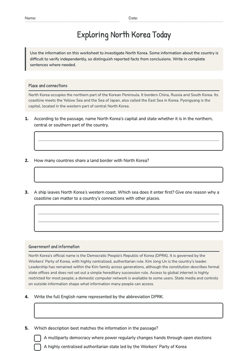
Exploring North Korea Today
Free
New Zealand Coastal Geography
Free
Ocean Kaitiakitanga Action Posters
Free
New Zealand Rivers Geography
Free
Hydrothermal Activity and Terraces
Free