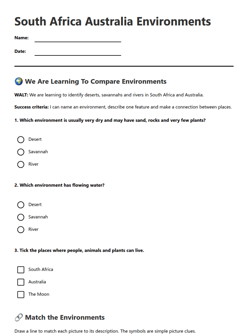
Glenelg River Geography
A free social sciences worksheet ready for your classroom. Open in Kuraplan to grab the print-ready PDF, customize it for your students, or generate a fresh version in seconds.
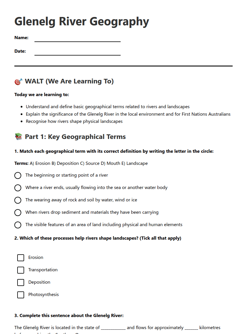
Glenelg River Geography
🎯 WALT (We Are Learning To)
Today we are learning to:
- Understand and define basic geographical terms related to rivers and landscapes
- Explain the significance of the Glenelg River in the local environment and for First Nations Australians
- Recognise how rivers shape physical landscapes
📚 Part 1: Key Geographical Terms
Terms: A) Erosion B) Deposition C) Source D) Mouth E) Landscape
The beginning or starting point of a river Where a river ends, usually flowing into the sea or another water body The wearing away of rock and soil by water, wind or ice When rivers drop sediment and materials they have been carrying The visible features of an area of land including physical and human elementsThe Glenelg River is located in the state of _____________ and flows for approximately _______ kilometres before reaching the Southern Ocean.
🏞️ Part 2: Glenelg River Significance
River name: _________________________
✅ Success Criteria Check
By the end of today's lesson, I can:
About This Worksheet
Free in Kuraplan
Sign up free, grab the PDF, and customize it for your class.
Print-Ready
Formatted for standard paper. Clean layout, easy to read.
AI-Generated
Created with Kuraplan's AI, designed for real classroom use.
For Teachers & Parents
Use in classrooms, for homework, tutoring, or homeschool.
Need a custom version of this worksheet?
Kuraplan's AI generates custom worksheets in seconds — differentiated for every learner, aligned to your curriculum.
Generate Custom Worksheets — FreeMore Social Sciences Worksheets
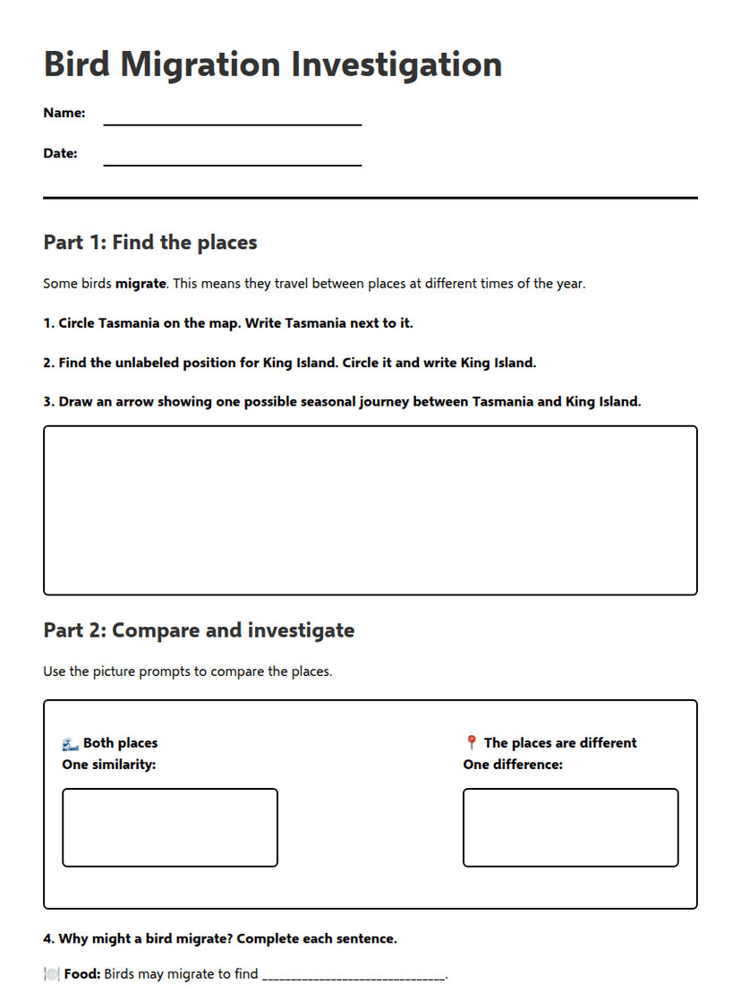
Bird Migration Investigation
Free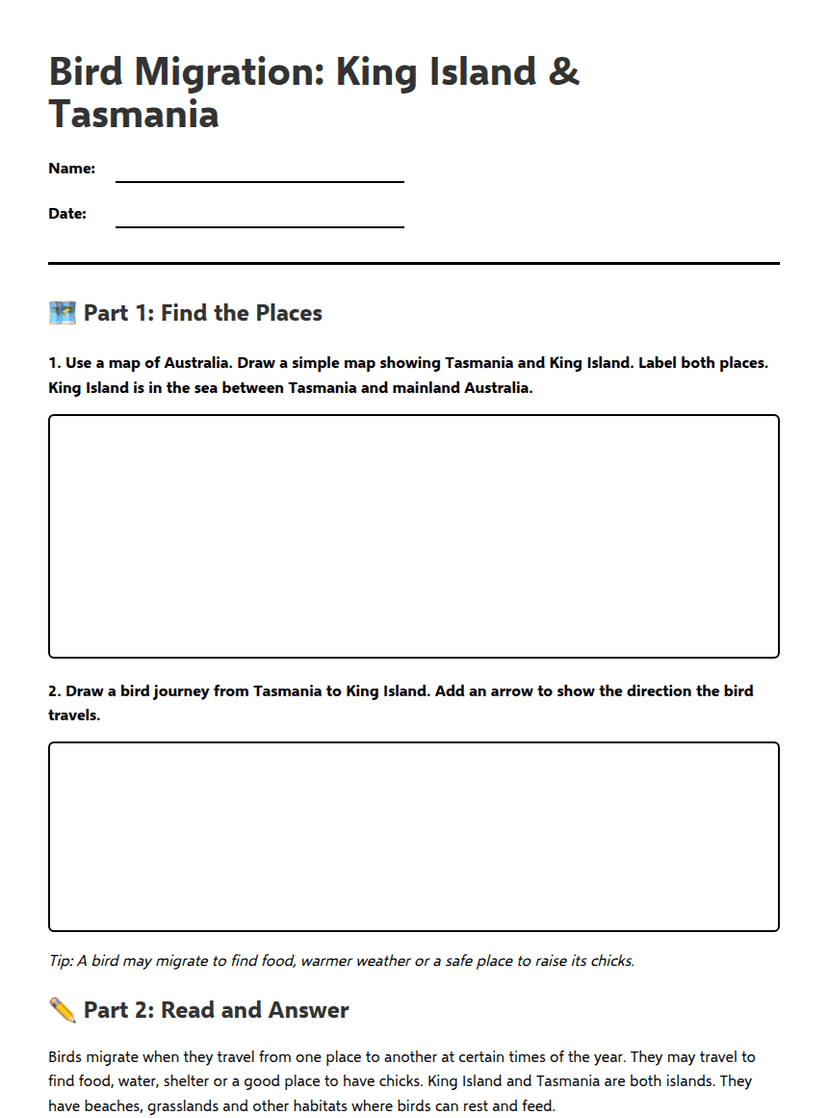
Bird Migration: King Island & Tasmania
Free
City Liveability Ranking
Free
Island Map Explorer Mission
Free
South Africa Geography Map
Free
South Africa Map Skills Worksheet
Free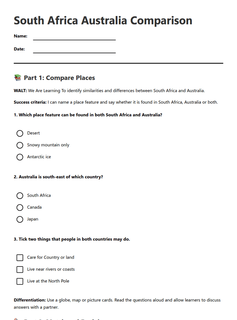
South Africa Australia Comparison
Free