Magnetic Island Geography Features
A free social sciences worksheet ready for your classroom. Open in Kuraplan to grab the print-ready PDF, customize it for your students, or generate a fresh version in seconds.
Magnetic Island Geography Features
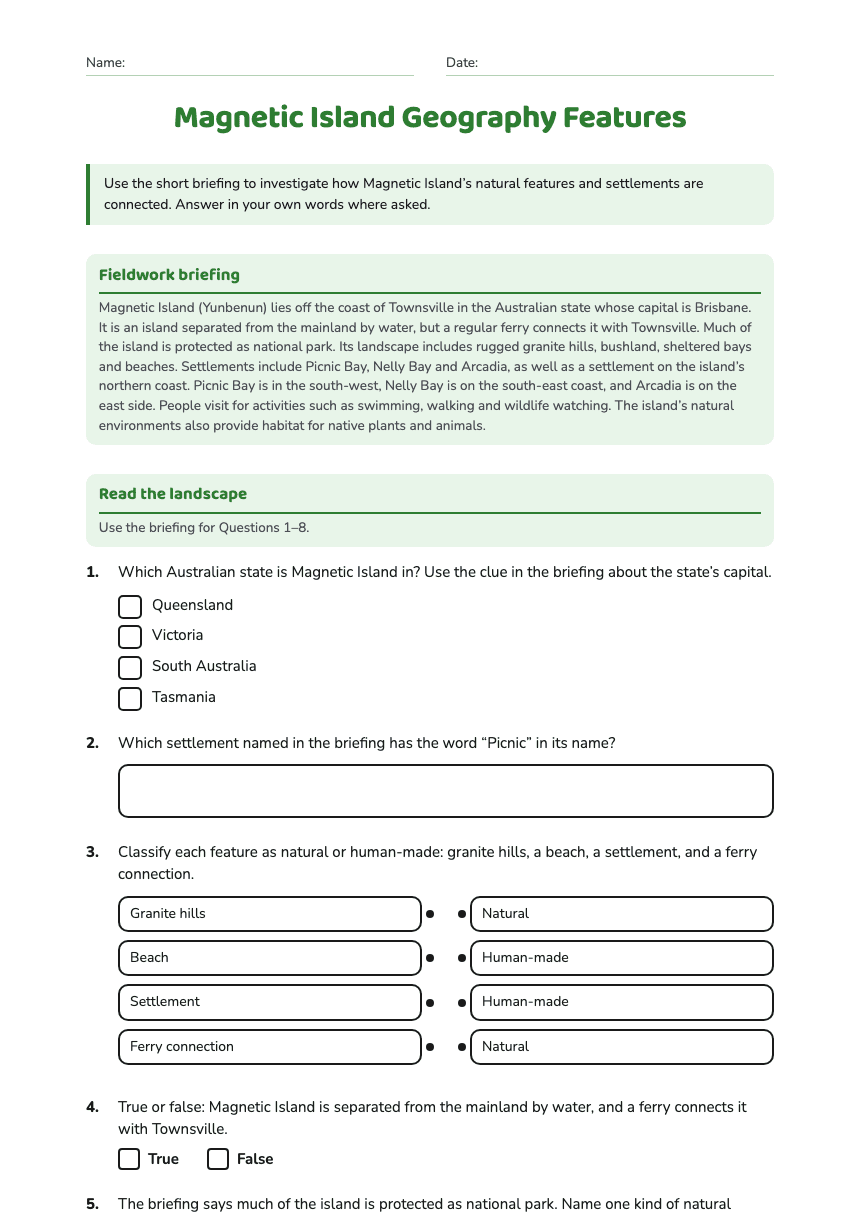
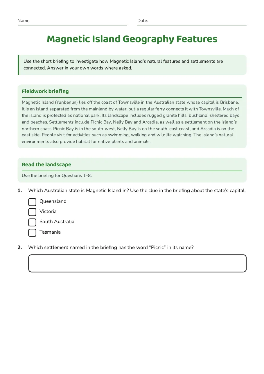
Fieldwork briefing
Magnetic Island (Yunbenun) lies off the coast of Townsville in the Australian state whose capital is Brisbane. It is an island separated from the mainland by water, but a regular ferry connects it with Townsville. Much of the island is protected as national park. Its landscape includes rugged granite hills, bushland, sheltered bays and beaches. Settlements include Picnic Bay, Nelly Bay and Arcadia, as well as a settlement on the island’s northern coast. Picnic Bay is in the south-west, Nelly Bay is on the south-east coast, and Arcadia is on the east side. People visit for activities such as swimming, walking and wildlife watching. The island’s natural environments also provide habitat for native plants and animals.
Read the landscape
Use the briefing for Questions 1–8.
- Queensland
- Victoria
- South Australia
- Tasmania
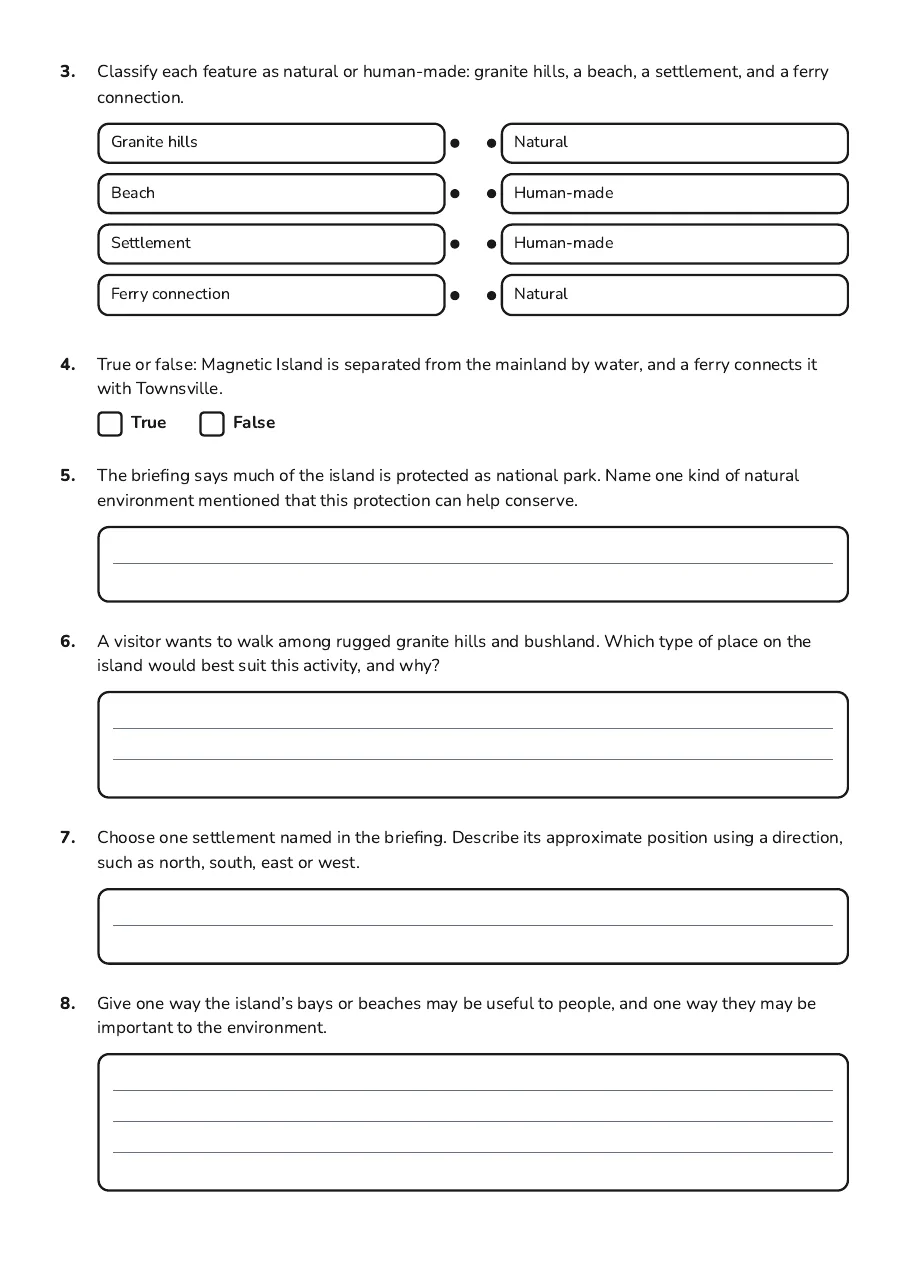
- Granite hills
- Beach
- Settlement
- Ferry connection
- Natural
- Human-made
- Human-made
- Natural
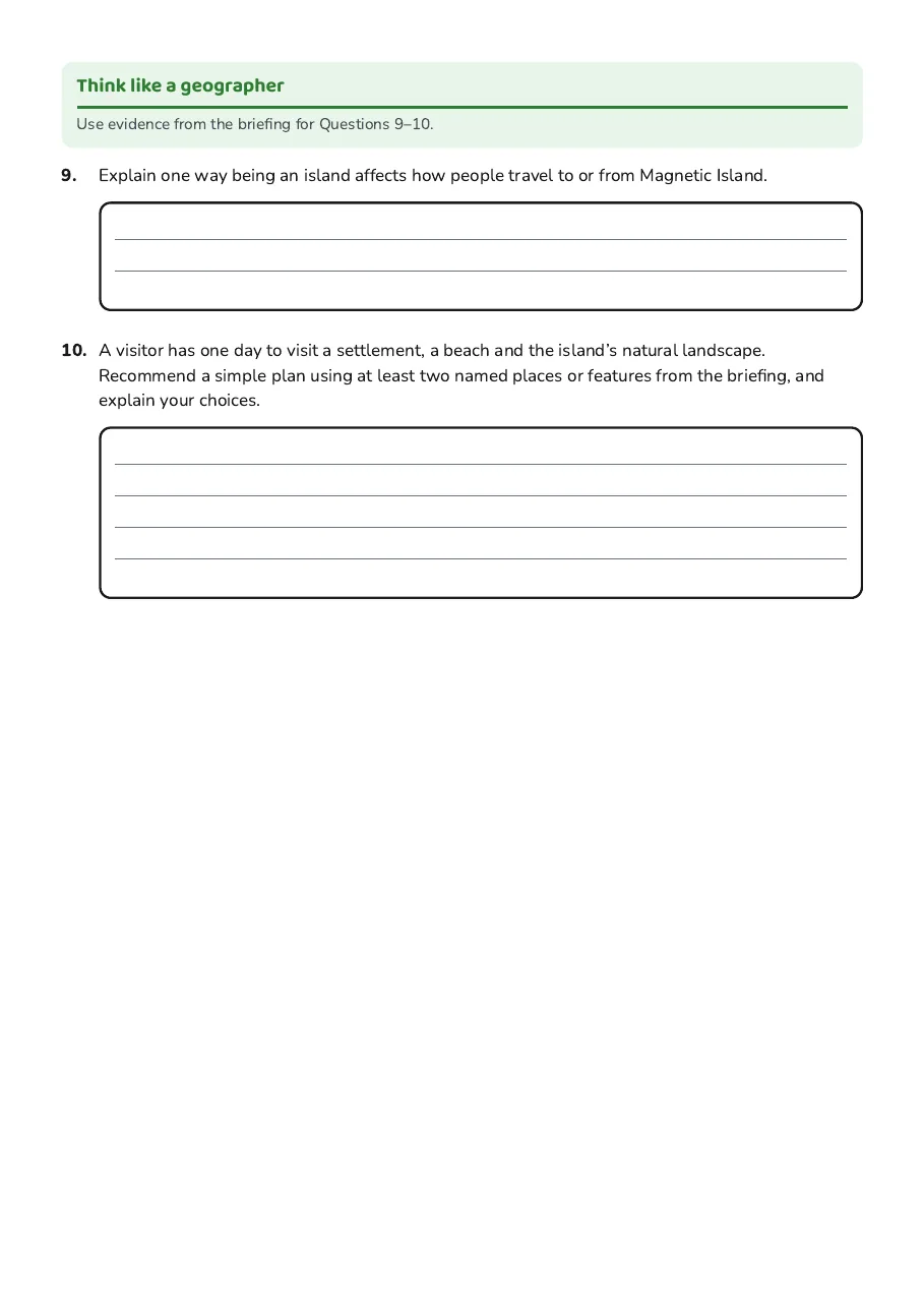
Think like a geographer
Use evidence from the briefing for Questions 9–10.
3 printable pages
Page 1
Page 2
Page 3
About This Worksheet
Free in Kuraplan
Sign up free, grab the PDF, and customize it for your class.
Print-Ready
Formatted for standard paper. Clean layout, easy to read.
AI-Generated
Created with Kuraplan's AI, designed for real classroom use.
For Teachers & Parents
Use in classrooms, for homework, tutoring, or homeschool.
Need a custom version of this worksheet?
Kuraplan's AI generates custom worksheets in seconds — differentiated for every learner, aligned to your curriculum.
Generate Custom Worksheets — FreeMore Social Sciences Worksheets
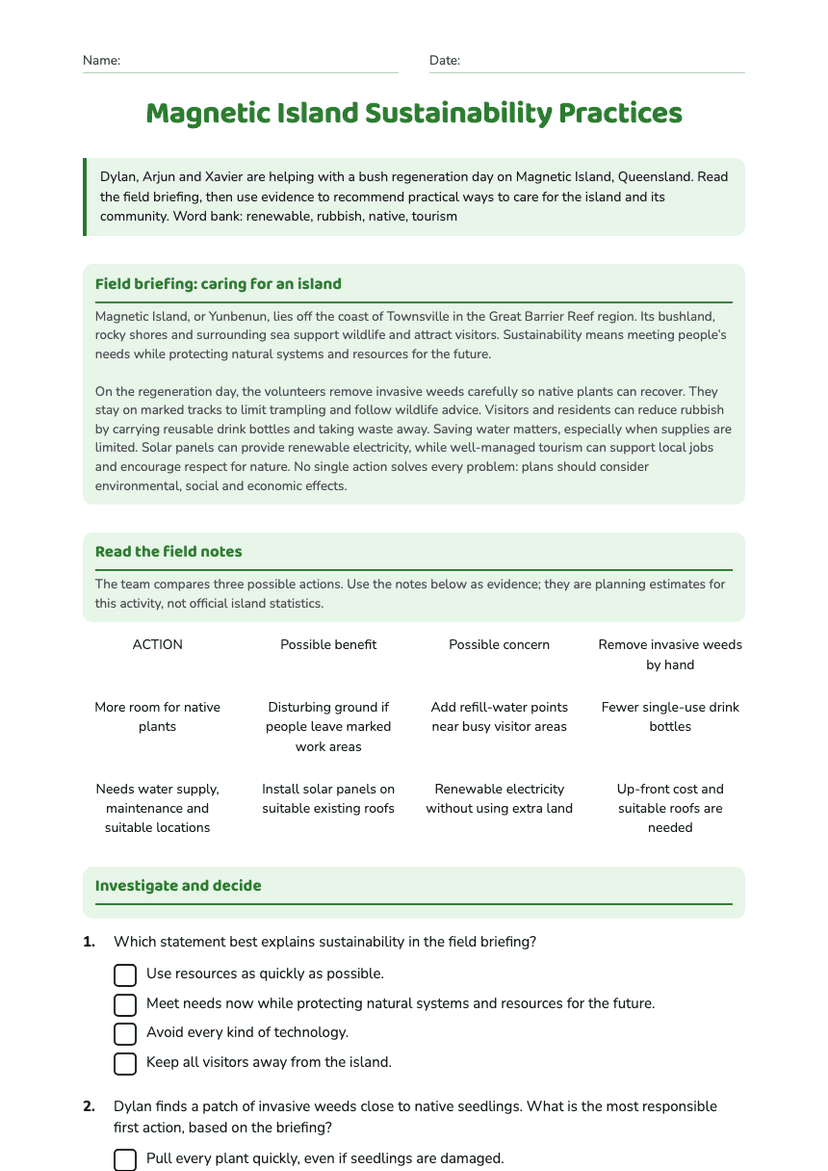
Magnetic Island Sustainability Practices
Free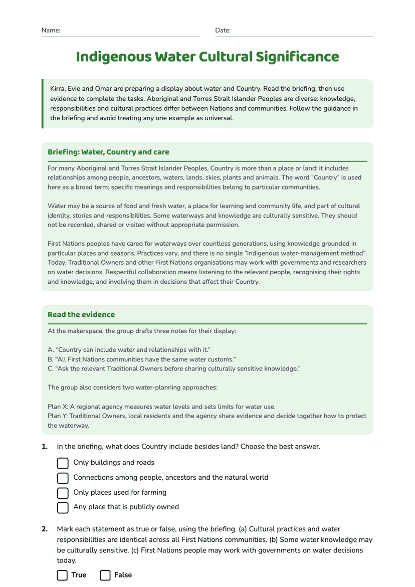
Indigenous Water Cultural Significance
Free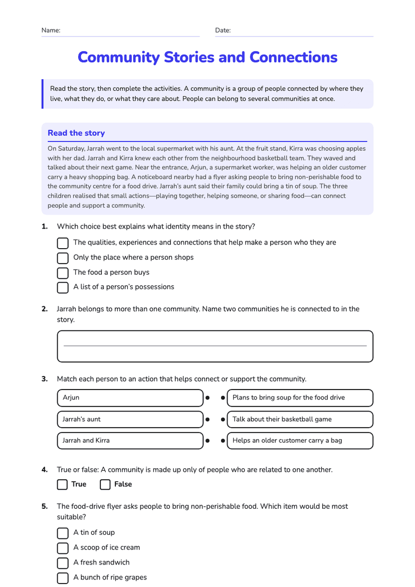
Community Stories and Connections
Free
Glenelg River Gunditjmara Significance
Free
Migration Flowchart
Free
Caring for Lake Eyre
Free
Hamilton Island Environmental Features
Free