New Zealand Rivers Data
A free social sciences worksheet ready for your classroom. Open in Kuraplan to grab the print-ready PDF, customize it for your students, or generate a fresh version in seconds.
New Zealand Rivers Data
📊 Part 1: River Length Data
Instructions: Use the data below to create a bar graph showing the lengths of New Zealand's major rivers.
New Zealand Major Rivers - Length in Kilometres
• Waikato River: 425 km
• Clutha River: 340 km
• Taieri River: 288 km
• Rangitikei River: 241 km
• Whanganui River: 290 km
• Manawatu River: 182 km
• Buller River: 177 km
• Waitaki River: 209 km
📈 Part 2: Create Your Bar Graph
Remember to include:
• Title for your graph
• Labels on both axes (x-axis: River Names, y-axis: Length in km)
• Scale on the y-axis (suggest intervals of 50 km)
• Bars for each river showing their lengths
🤔 Part 3: Data Analysis Questions
🌊 Part 4: River Knowledge
The _____________ River is New Zealand's longest river at _____ kilometres long. It flows through the _____________ Island and is important for hydroelectric power generation.
🎯 Part 5: Extension Activity
River name: _________________________
Length: _________ kilometres
Location (North or South Island): _________________
About This Worksheet
Free in Kuraplan
Sign up free, grab the PDF, and customize it for your class.
Print-Ready
Formatted for standard paper. Clean layout, easy to read.
AI-Generated
Created with Kuraplan's AI, designed for real classroom use.
For Teachers & Parents
Use in classrooms, for homework, tutoring, or homeschool.
Need a custom version of this worksheet?
Kuraplan's AI generates custom worksheets in seconds — differentiated for every learner, aligned to your curriculum.
Generate Custom Worksheets — FreeMore Social Sciences Worksheets

Meet New Zealand Money
Free
New Zealand Animal Study
Free
New Zealand Dairy Farming Quiz
Free
New Zealand Money Totals
Free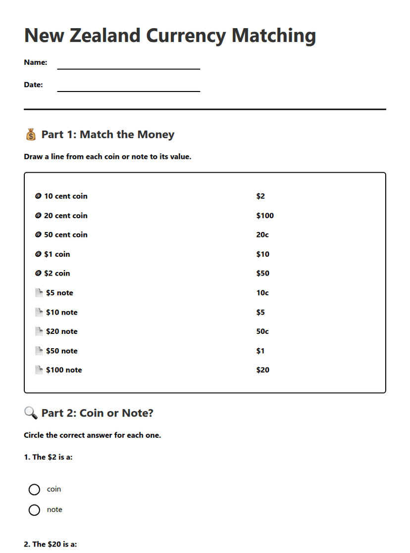
New Zealand Currency Matching
Free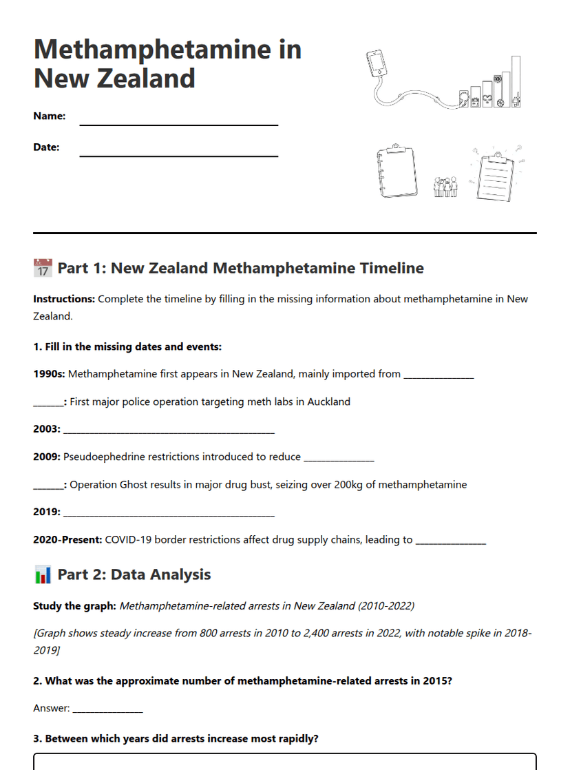
Methamphetamine in New Zealand
Free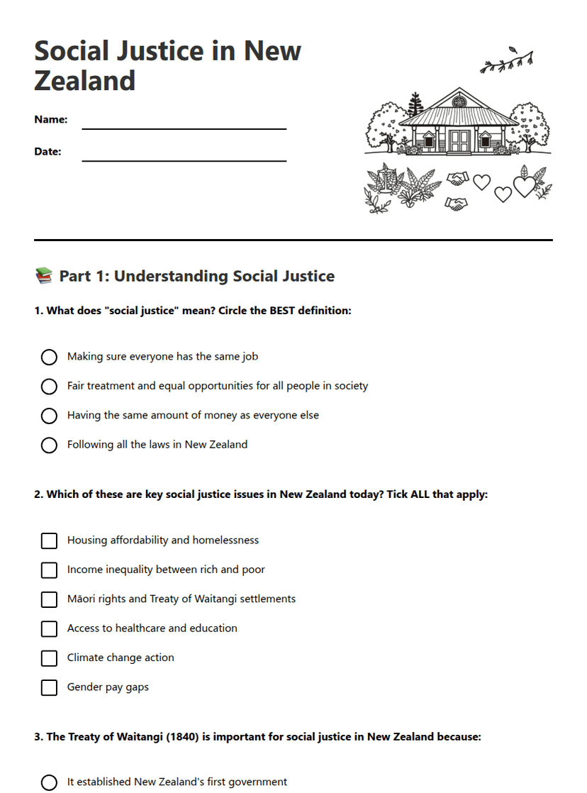
Social Justice in New Zealand
Free