Arctic Landforms Explorer
A free science worksheet ready for your classroom. Open in Kuraplan to grab the print-ready PDF, customize it for your students, or generate a fresh version in seconds.
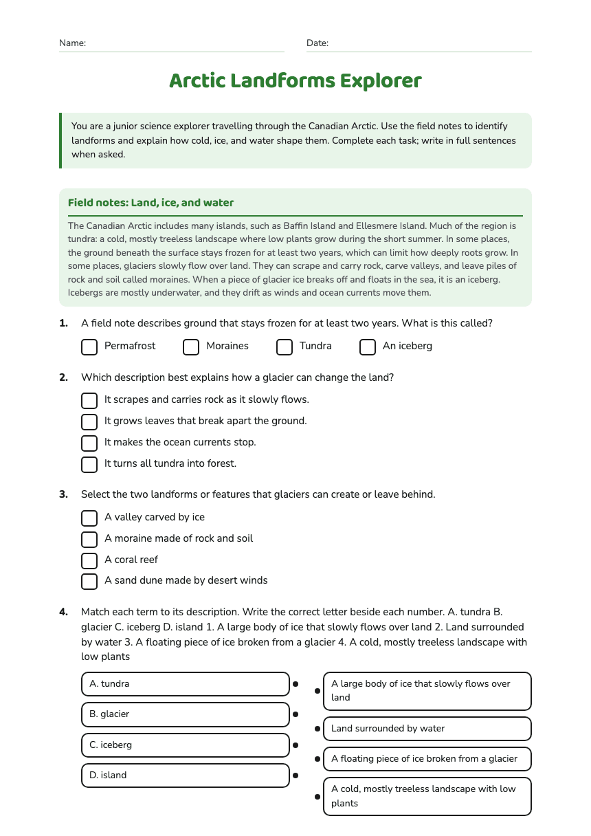
Arctic Landforms Explorer
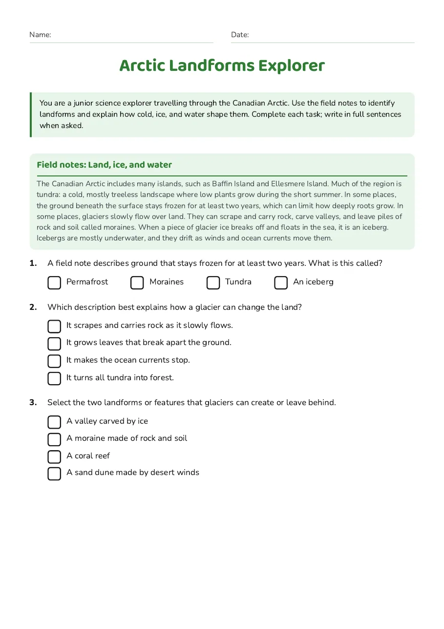
Field notes: Land, ice, and water
The Canadian Arctic includes many islands, such as Baffin Island and Ellesmere Island. Much of the region is tundra: a cold, mostly treeless landscape where low plants grow during the short summer. In some places, the ground beneath the surface stays frozen for at least two years, which can limit how deeply roots grow. In some places, glaciers slowly flow over land. They can scrape and carry rock, carve valleys, and leave piles of rock and soil called moraines. When a piece of glacier ice breaks off and floats in the sea, it is an iceberg. Icebergs are mostly underwater, and they drift as winds and ocean currents move them.
- Permafrost
- Moraines
- Tundra
- An iceberg
- It scrapes and carries rock as it slowly flows.
- It grows leaves that break apart the ground.
- It makes the ocean currents stop.
- It turns all tundra into forest.
- A valley carved by ice
- A moraine made of rock and soil
- A coral reef
- A sand dune made by desert winds
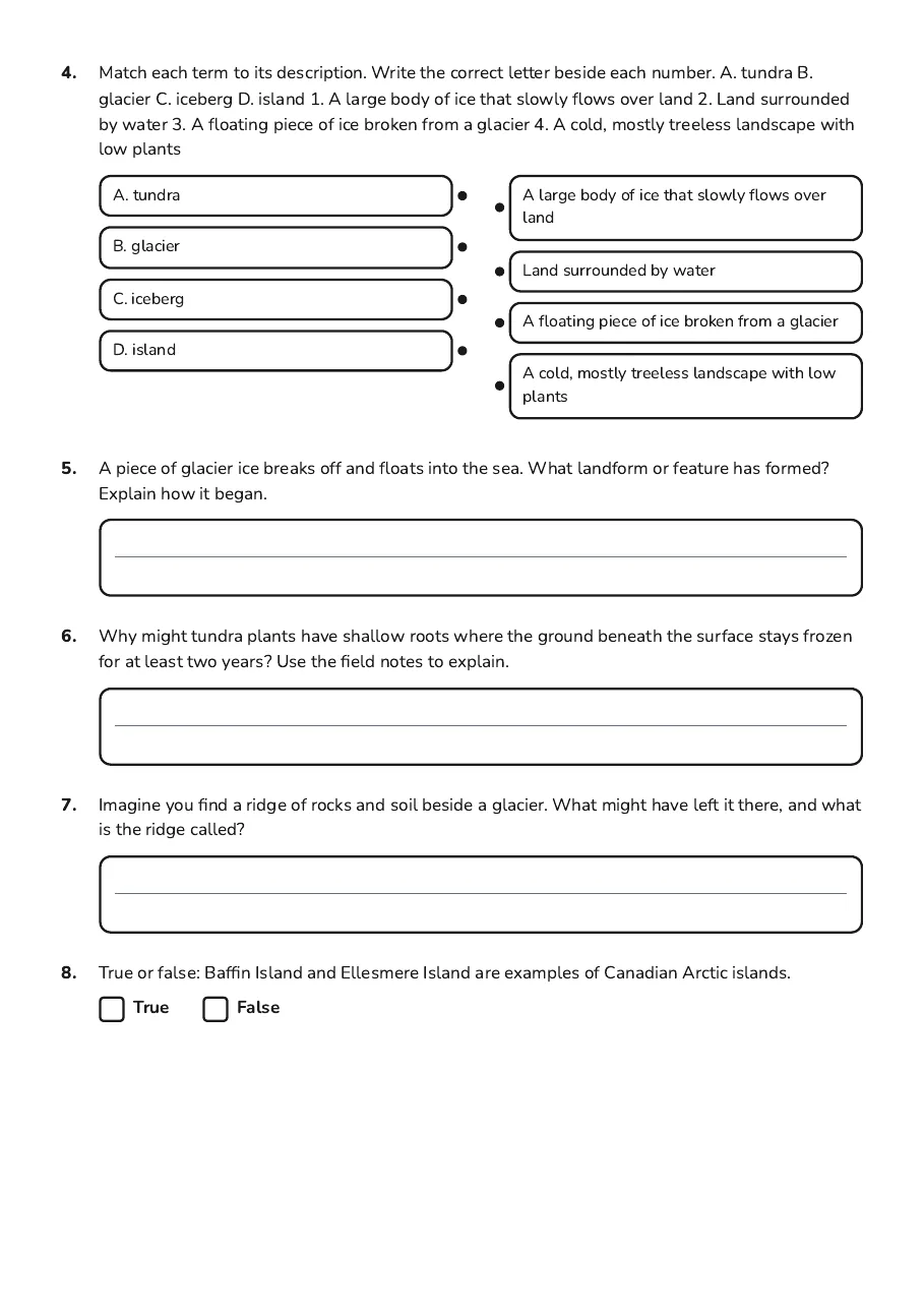
- A. tundra
- B. glacier
- C. iceberg
- D. island
- A large body of ice that slowly flows over land
- Land surrounded by water
- A floating piece of ice broken from a glacier
- A cold, mostly treeless landscape with low plants
3 printable pages
Page 1
Page 2

Page 3
About This Worksheet
Free in Kuraplan
Sign up free, grab the PDF, and customize it for your class.
Print-Ready
Formatted for standard paper. Clean layout, easy to read.
AI-Generated
Created with Kuraplan's AI, designed for real classroom use.
For Teachers & Parents
Use in classrooms, for homework, tutoring, or homeschool.
Need a custom version of this worksheet?
Kuraplan's AI generates custom worksheets in seconds — differentiated for every learner, aligned to your curriculum.
Generate Custom Worksheets — Free