South Africa Geography Map
A free social sciences worksheet ready for your classroom. Open in Kuraplan to grab the print-ready PDF, customize it for your students, or generate a fresh version in seconds.
South Africa Geography Map
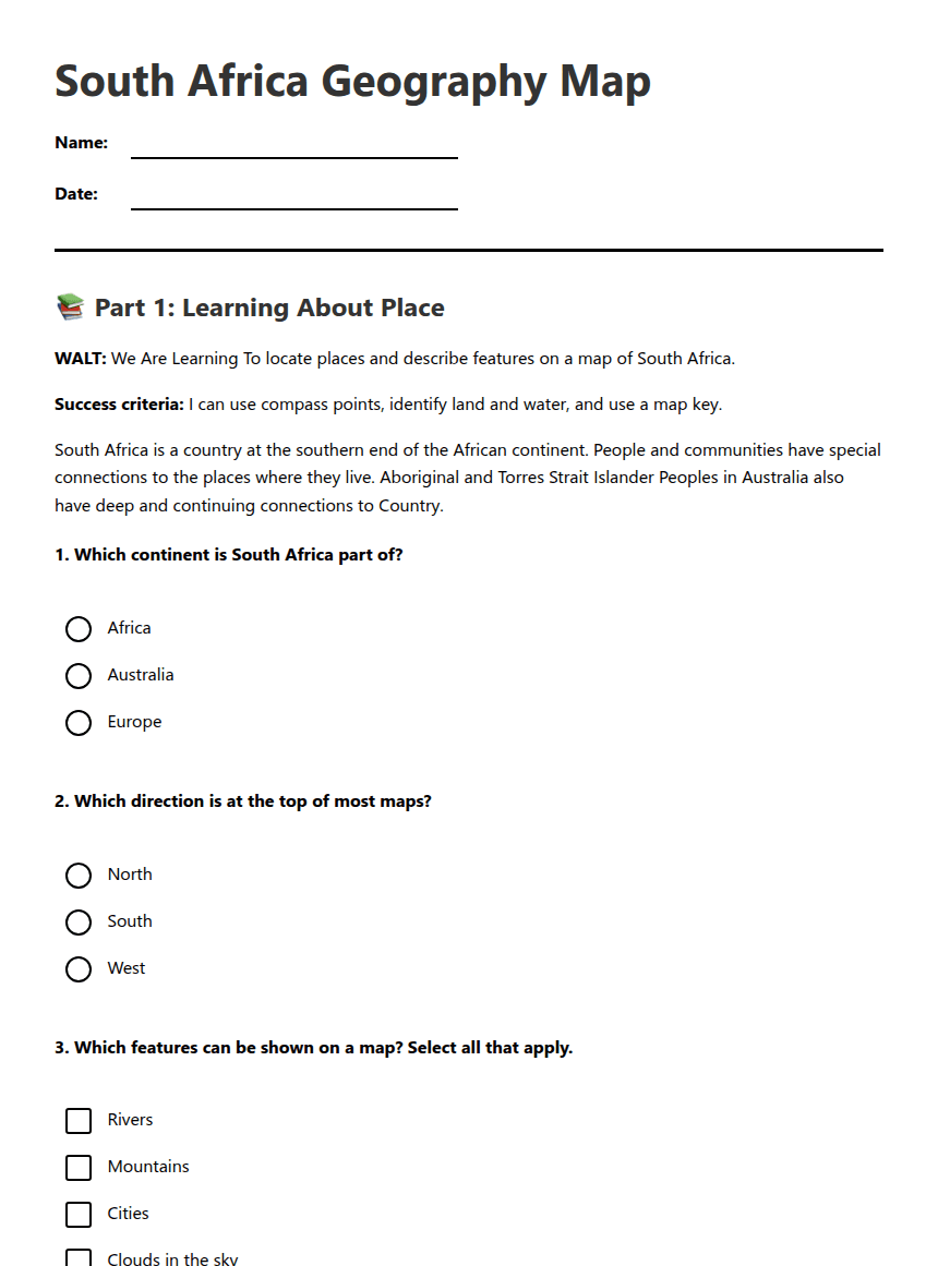
📚 Part 1: Learning About Place
WALT: We Are Learning To locate places and describe features on a map of South Africa.
Success criteria: I can use compass points, identify land and water, and use a map key.
South Africa is a country at the southern end of the African continent. People and communities have special connections to the places where they live. Aboriginal and Torres Strait Islander Peoples in Australia also have deep and continuing connections to Country.
🗺️ Part 2: Read and Complete the Map
Look carefully at the South Africa map. Use the compass, map key and scale. Add labels or symbols where your teacher indicates.
✏️ Part 3: Connect to Place
Success criteria: I can describe a place using a map feature and explain why places can be special to people and communities.
Support: Use the word bank: north, south, east, west, river, ocean, mountain, city, grassland, desert. You may draw symbols before writing labels.
Challenge: Add a second compass point and use the scale to estimate another distance.
About This Worksheet
Free in Kuraplan
Sign up free, grab the PDF, and customize it for your class.
Print-Ready
Formatted for standard paper. Clean layout, easy to read.
AI-Generated
Created with Kuraplan's AI, designed for real classroom use.
For Teachers & Parents
Use in classrooms, for homework, tutoring, or homeschool.
Need a custom version of this worksheet?
Kuraplan's AI generates custom worksheets in seconds — differentiated for every learner, aligned to your curriculum.
Generate Custom Worksheets — Free