Latitude and Longitude Quiz
A free geography worksheet ready for your classroom. Open in Kuraplan to grab the print-ready PDF, customize it for your students, or generate a fresh version in seconds.
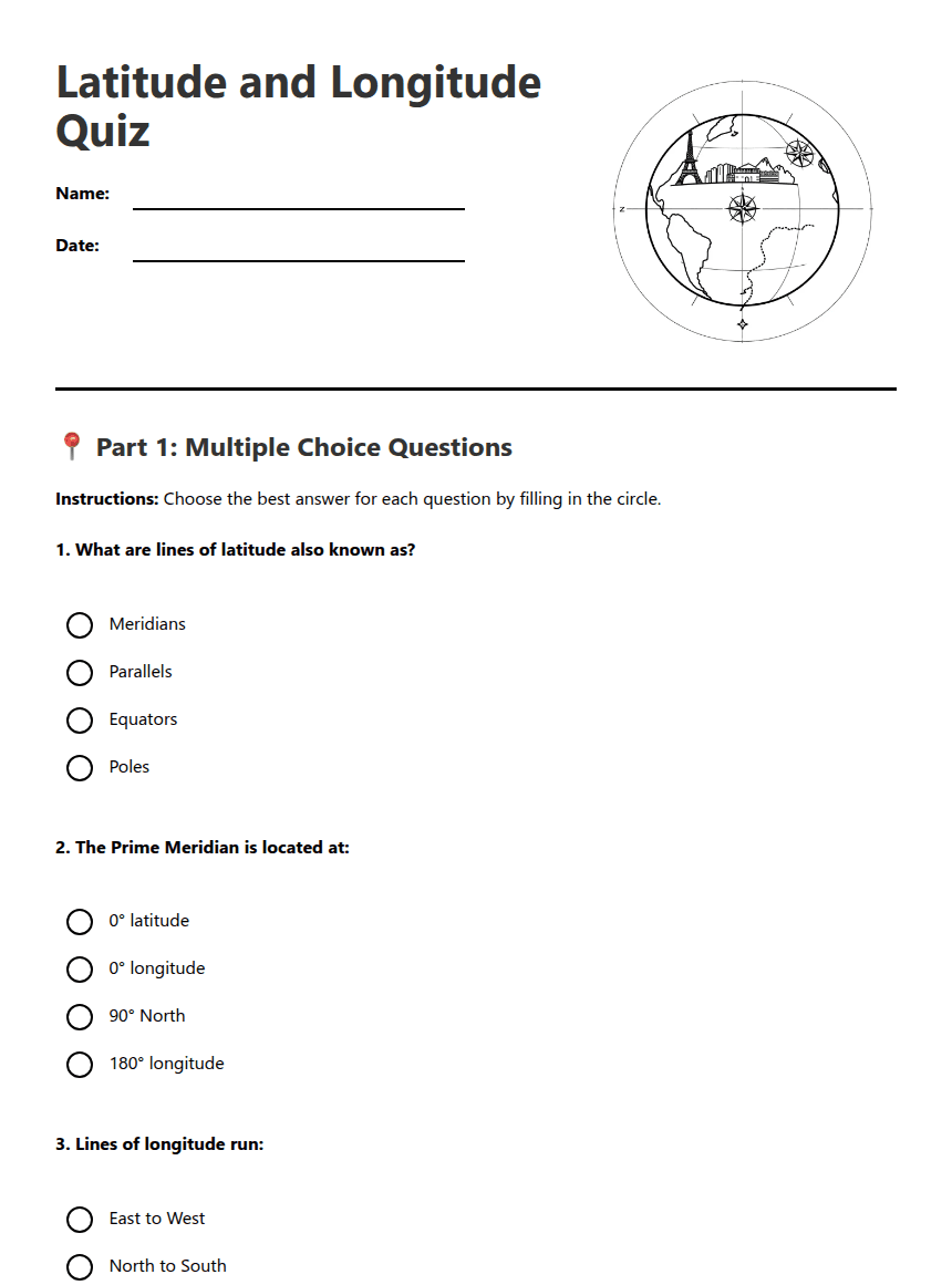
Latitude and Longitude Quiz
📍 Part 1: Multiple Choice Questions
Instructions: Choose the best answer for each question by filling in the circle.
✏️ Part 2: Short Answer Questions
Instructions: Answer the following questions in complete sentences.
a) The _____________ divides the Earth into Northern and Southern hemispheres.
b) The _____________ _____________ divides the Earth into Eastern and Western hemispheres.
c) Lines of latitude are measured in degrees from ___° to ___°.
d) Lines of longitude are measured in degrees from ___° to ___°.
📋 Answer Key
Part 1 - Multiple Choice:
1. B - Parallels
2. B - 0° longitude
3. B - North to South
4. B - 0° latitude
5. B - 45°S, 15°W
Part 2 - Short Answers:
6. Latitude lines run east-west and measure distance north or south of the Equator. Longitude lines run north-south and measure distance east or west of the Prime Meridian.
7. The coordinate system allows us to pinpoint any exact location on Earth using two numbers, making navigation, mapping, and communication about locations precise and universal.
8. a) Equator b) Prime Meridian c) 0° to 90° d) 0° to 180°
9. Johannesburg (accept Pretoria or other nearby cities in Gauteng province)
10. The distance between longitude lines decreases as you move towards the poles because the Earth is spherical, and the lines converge at the poles.
About This Worksheet
Free in Kuraplan
Sign up free, grab the PDF, and customize it for your class.
Print-Ready
Formatted for standard paper. Clean layout, easy to read.
AI-Generated
Created with Kuraplan's AI, designed for real classroom use.
For Teachers & Parents
Use in classrooms, for homework, tutoring, or homeschool.
Need a custom version of this worksheet?
Kuraplan's AI generates custom worksheets in seconds — differentiated for every learner, aligned to your curriculum.
Generate Custom Worksheets — Free