Map Skills Reference Poster
Free science printable for teachers · Posters

About this printable
This printable is a compact map skills reference poster that breaks map reading into numbered chunks: orientation (compass), scale and measuring distance, reading/interpreting a grid map, grid references, contour lines, common map symbols and a checklist for 'thinking like a map reader'. It includes a worked map example with a grid, contour heights, river, road and settlement symbols, plus short example questions for classroom use. Use it as a quick reference during geography lessons, fieldwork preparation or map-reading practice.
Make printables like this in seconds
Kuraplan generates science worksheets, lesson plans and classroom resources matched to your curriculum.
Try Kuraplan free90-second quiz · no credit card
Related printables
More science resources
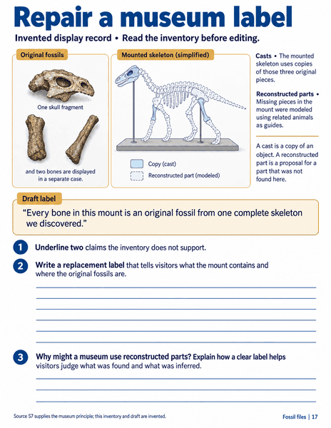
Repair a museum label
Science · Sheets & slips
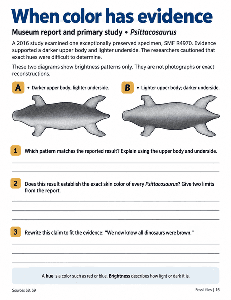
When color has evidence
Science · Sheets & slips
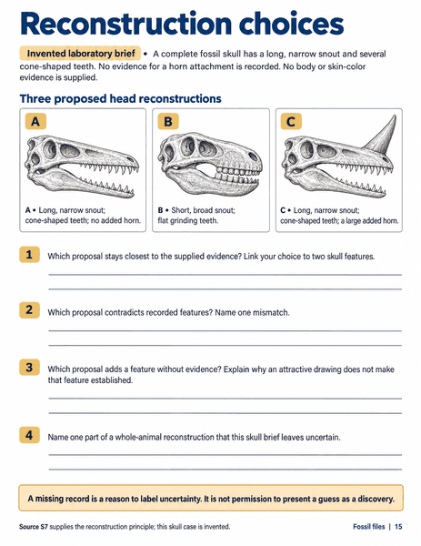
Reconstruction choices
Science · Sheets & slips
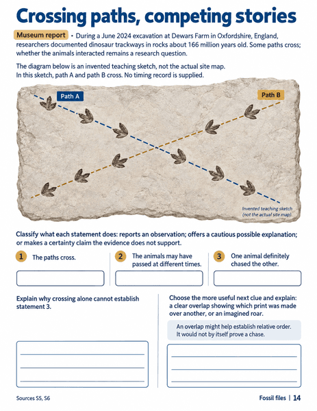
Crossing paths, competing stories
Science · Sheets & slips
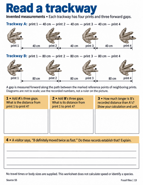
Read a trackway
Science · Sheets & slips
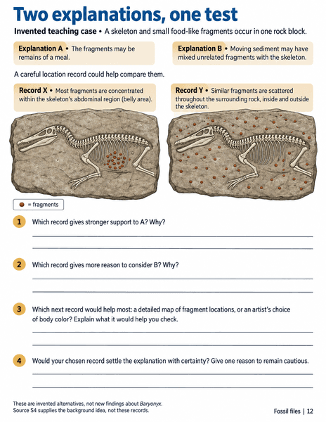
Two explanations, one test
Science · Sheets & slips
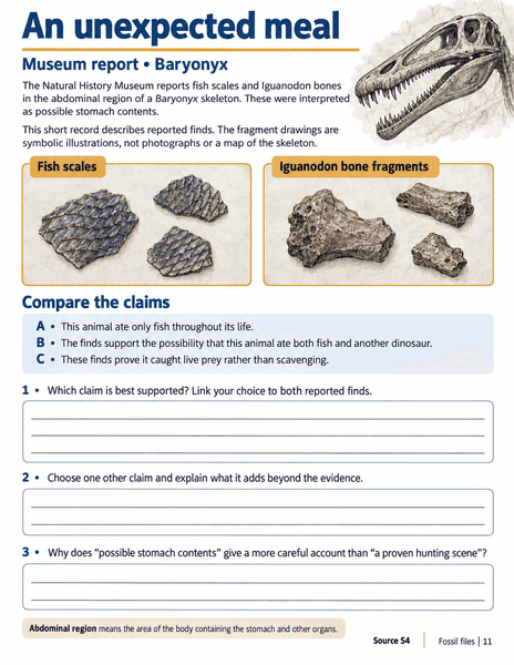
An unexpected meal
Science · Sheets & slips
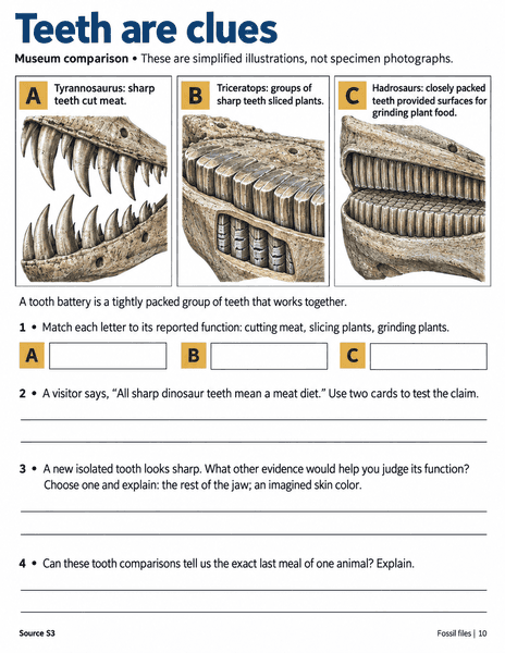
Teeth are clues
Science · Sheets & slips