Mesopotamian Explorer Journal
A free social studies worksheet ready for your classroom. Open in Kuraplan to grab the print-ready PDF, customize it for your students, or generate a fresh version in seconds.
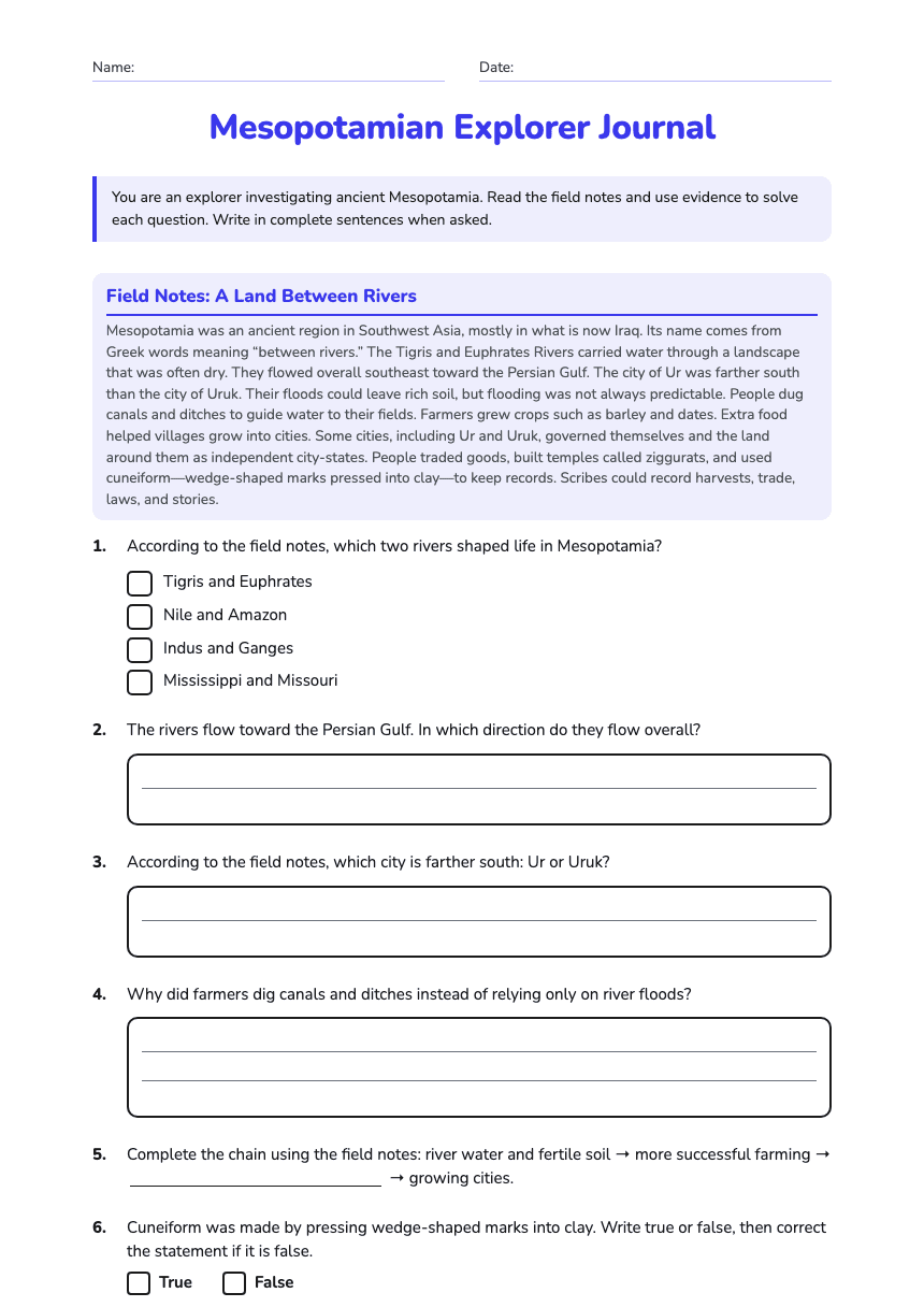
Mesopotamian Explorer Journal
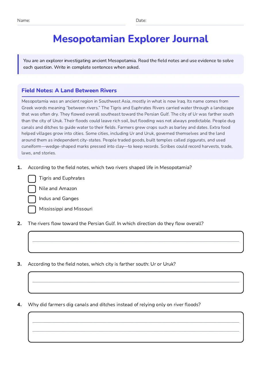
Field Notes: A Land Between Rivers
Mesopotamia was an ancient region in Southwest Asia, mostly in what is now Iraq. Its name comes from Greek words meaning “between rivers.” The Tigris and Euphrates Rivers carried water through a landscape that was often dry. They flowed overall southeast toward the Persian Gulf. The city of Ur was farther south than the city of Uruk. Their floods could leave rich soil, but flooding was not always predictable. People dug canals and ditches to guide water to their fields. Farmers grew crops such as barley and dates. Extra food helped villages grow into cities. Some cities, including Ur and Uruk, governed themselves and the land around them as independent city-states. People traded goods, built temples called ziggurats, and used cuneiform—wedge-shaped marks pressed into clay—to keep records. Scribes could record harvests, trade, laws, and stories.
- Tigris and Euphrates
- Nile and Amazon
- Indus and Ganges
- Mississippi and Missouri
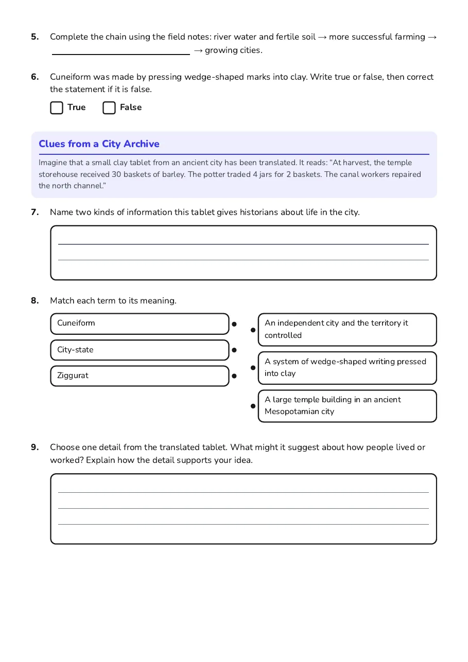
Clues from a City Archive
Imagine that a small clay tablet from an ancient city has been translated. It reads: “At harvest, the temple storehouse received 30 baskets of barley. The potter traded 4 jars for 2 baskets. The canal workers repaired the north channel.”
- Cuneiform
- City-state
- Ziggurat
- An independent city and the territory it controlled
- A system of wedge-shaped writing pressed into clay
- A large temple building in an ancient Mesopotamian city
3 printable pages
Page 1
Page 2

Page 3
About This Worksheet
Free in Kuraplan
Sign up free, grab the PDF, and customize it for your class.
Print-Ready
Formatted for standard paper. Clean layout, easy to read.
AI-Generated
Created with Kuraplan's AI, designed for real classroom use.
For Teachers & Parents
Use in classrooms, for homework, tutoring, or homeschool.
Need a custom version of this worksheet?
Kuraplan's AI generates custom worksheets in seconds — differentiated for every learner, aligned to your curriculum.
Generate Custom Worksheets — Free