Front Cold — free printable diagram
Free geography resource for teachers · CC BY-NC 4.0

About this illustration
This is a vibrant cartoon-style illustration explaining the meteorological concept of a cold front. It visually depicts a blue mass labeled 'COLD AIR' with an arrow pushing under an orange mass labeled 'WARM AIR' with an upward arrow, both air masses featuring friendly cartoon faces. Above them, a large grey cloud is shown releasing heavy raindrops onto green ground. The image clearly states 'COLD FRONT' at the top, accompanied by a description: 'Cold air pushes under warm air, causing heavy, short rain', and displays the 'FRONT SYMBOL:' as three blue triangles. This resource is ideal for elementary and middle school science worksheets, slide presentations for a weather unit, or as a visual aid for explaining atmospheric phenomena. The visual style is a flat illustration with clear labels and a diagrammatic representation.
What a cold front diagram shows
A front is the boundary between two air masses at different temperatures. At a cold front, advancing cold air meets warmer air and, being denser, pushes underneath and lifts it sharply. That steep lifting is what produces the tall clouds and the short burst of heavy rain a cold front is known for, and it is why the diagram is always drawn in cross-section.
- What it is
- The boundary where advancing cold air meets warmer air
- What the cold air does
- Undercuts the warm air and forces it to rise steeply
- Cloud produced
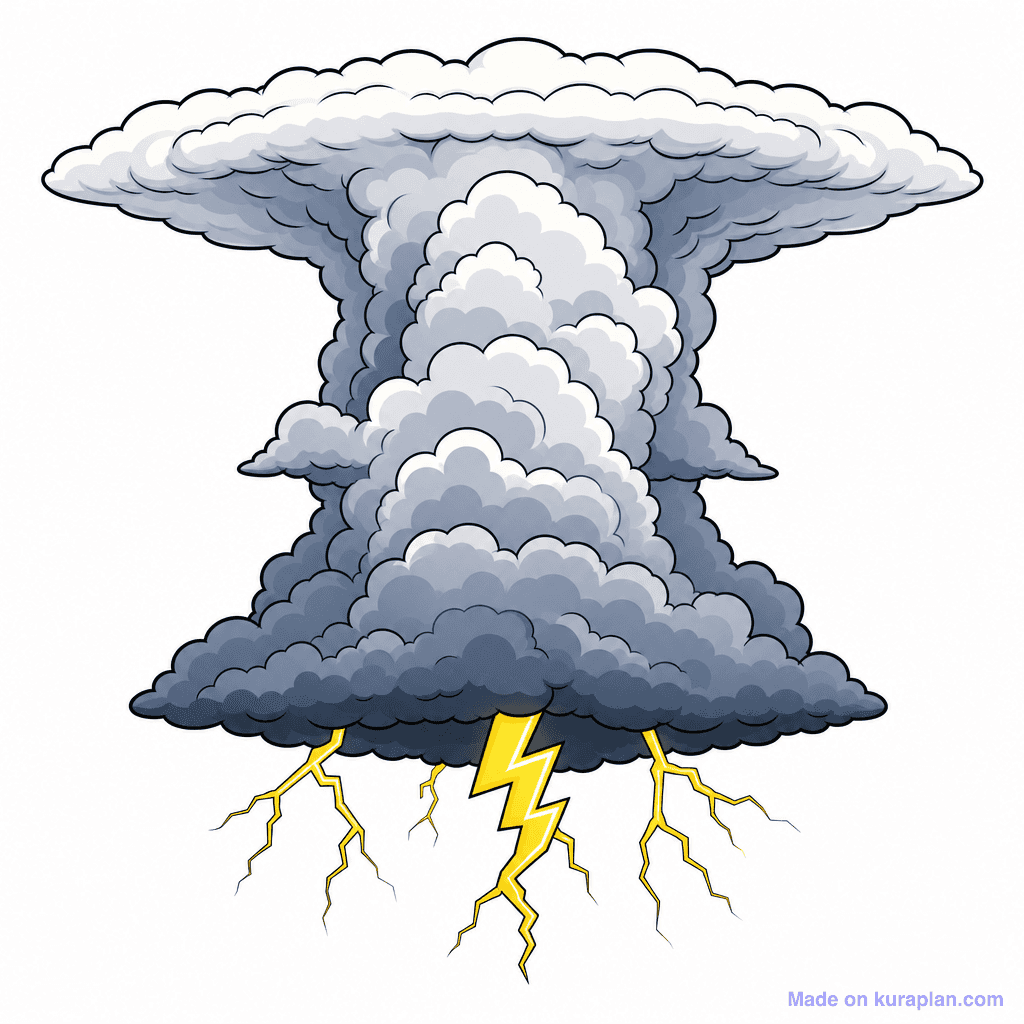
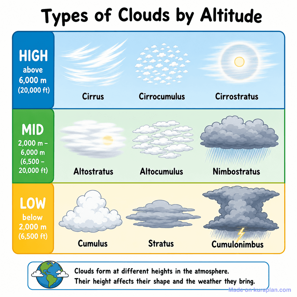
- Tall cumulonimbus
- Weather
- Heavy showers or thunderstorms over a narrow band
- As it passes
- Temperature falls, pressure rises, skies clear behind it
- Map symbol
- A line with triangles pointing the way it is moving
- Cold air is denser than warm air, so it cannot ride over the top. It pushes in underneath, and the warm air has nowhere to go but up — the mechanism the whole diagram exists to show.
- Steep lifting means tall clouds. Air forced up quickly cools quickly, so the water vapour condenses into towering cumulonimbus rather than flat layers.
- A warm front is the mirror image: there the warm air slides gently up over the cold air ahead, giving layered cloud and several hours of steady, lighter rain.
- So the rain belt at a cold front is narrower and heavier, and at a warm front wider and gentler. Comparing the two cross-sections side by side is the standard way to teach both.
- An occluded front forms when a cold front travels faster than the warm front ahead of it and catches up, lifting the warm air clear of the ground altogether.
- In a depression the fronts usually arrive in order: the warm front first, then the milder warm sector, then the cold front with its heavy shower and the clearance behind it.
How to use
- 1Right-click the image and choose “Save image as”, or use the download button.
- 2Use it in your classroom worksheets, slides or printables — free under CC BY-NC 4.0.
- 3Attribute as “Image by Kuraplan” or link back to kuraplan.com. Not for commercial resale.
Turn this image into a worksheet
This illustration is already in Kuraplan's editor — describe the worksheet you need and the AI builds it around the image in seconds.
Related illustrations
More from Weather & Climate

Free worksheets on Front Cold
All free worksheetsBrowse by subject
21 subjects · 5,118 free illustrations
Maths
1,894 free illustrations
Cross-Curricular
835 free illustrations
Science
814 free illustrations
English
612 free illustrations
Health
200 free illustrations
Social Studies
177 free illustrations
Religious Education
139 free illustrations
Music
128 free illustrations
Art
66 free illustrations
Drama
56 free illustrations
Social Sciences
48 free illustrations
History
47 free illustrations
Arts
26 free illustrations
PE
25 free illustrations
Te Reo Māori
24 free illustrations
Technology
16 free illustrations
Culture
7 free illustrations
Business
1 free illustrations
English
1 free illustrations
English (ELA)
1 free illustrations
Languages
1 free illustrations