World Continents Coloured — free printable diagram
Free geography resource for teachers · CC BY-NC 4.0
About this illustration
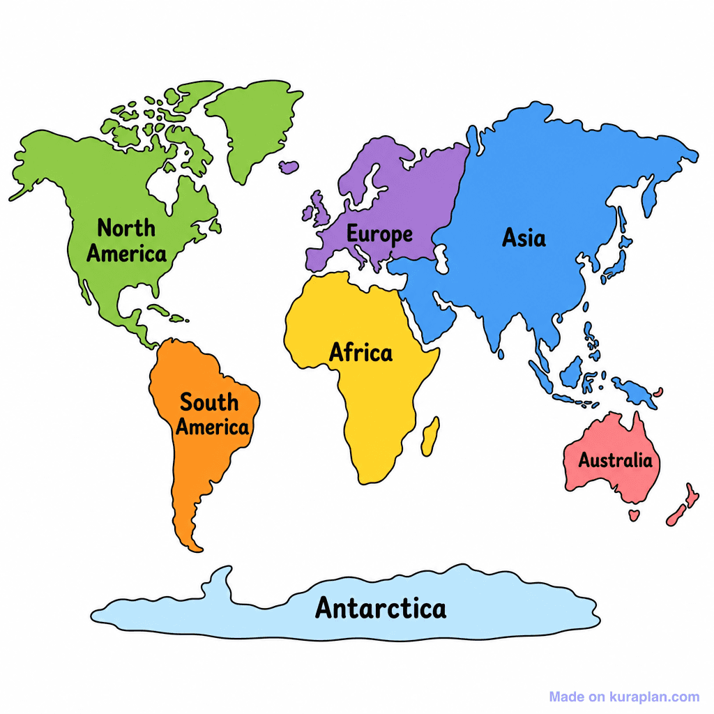
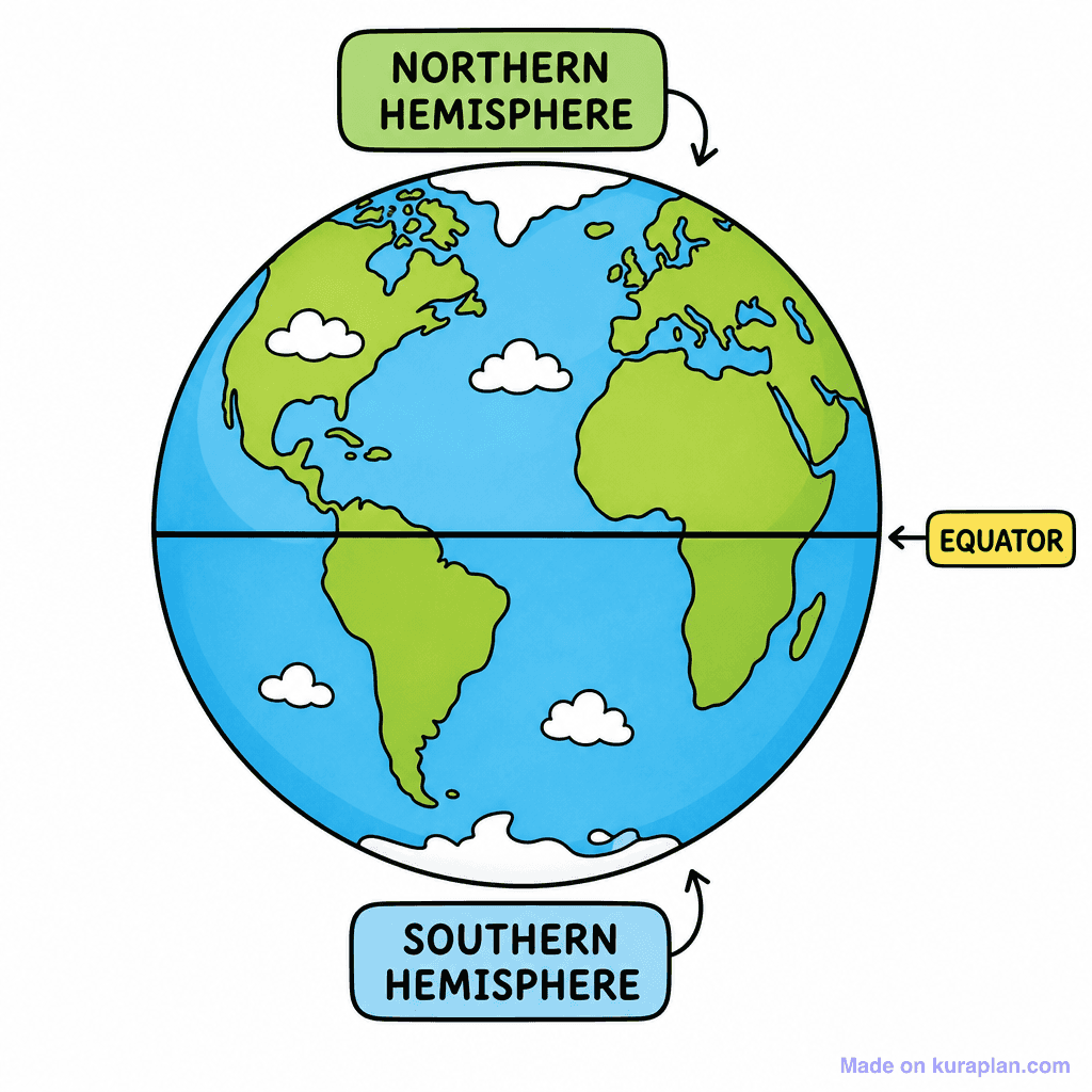
This is a colorful, simplified world map illustrating the seven continents, each distinctly colored and clearly labeled with its name. The continents depicted are North America (green), South America (orange), Africa (yellow), Europe (purple), Asia (blue), Australia (red), and Antarctica (light blue). This image serves as an excellent educational tool for teaching fundamental global geography and the identification of the world's major landmasses. It is ideal for classroom slides, worksheets for continent recognition, or as a visual reference in early social studies lessons. The visual style is a clear, flat illustration with thick, bold outlines, designed for easy comprehension by young learners.
How to use
- 1Right-click the image and choose “Save image as”, or use the download button.
- 2Use it in your classroom worksheets, slides or printables — free under CC BY-NC 4.0.
- 3Attribute as “Image by Kuraplan” or link back to kuraplan.com. Not for commercial resale.
Turn this image into a worksheet
This illustration is already in Kuraplan's editor — describe the worksheet you need and the AI builds it around the image in seconds.
Related illustrations
More from World Maps (Thematic)
Browse by subject
18 subjects · 5,117 free illustrations
Maths
1,894 free illustrations
Cross-Curricular
835 free illustrations
Science
816 free illustrations
English
612 free illustrations
Health
200 free illustrations
social_studies
177 free illustrations
Religious Education
139 free illustrations
Music
128 free illustrations
Art
66 free illustrations
Drama
56 free illustrations
social_sciences
48 free illustrations
History
47 free illustrations
arts
26 free illustrations
pe
25 free illustrations
te_reo_maori
24 free illustrations
tech
16 free illustrations
culture
7 free illustrations
languages
1 free illustrations