Mesopotamia Geography Mapping
A free social studies worksheet ready for your classroom. Open in Kuraplan to grab the print-ready PDF, customize it for your students, or generate a fresh version in seconds.
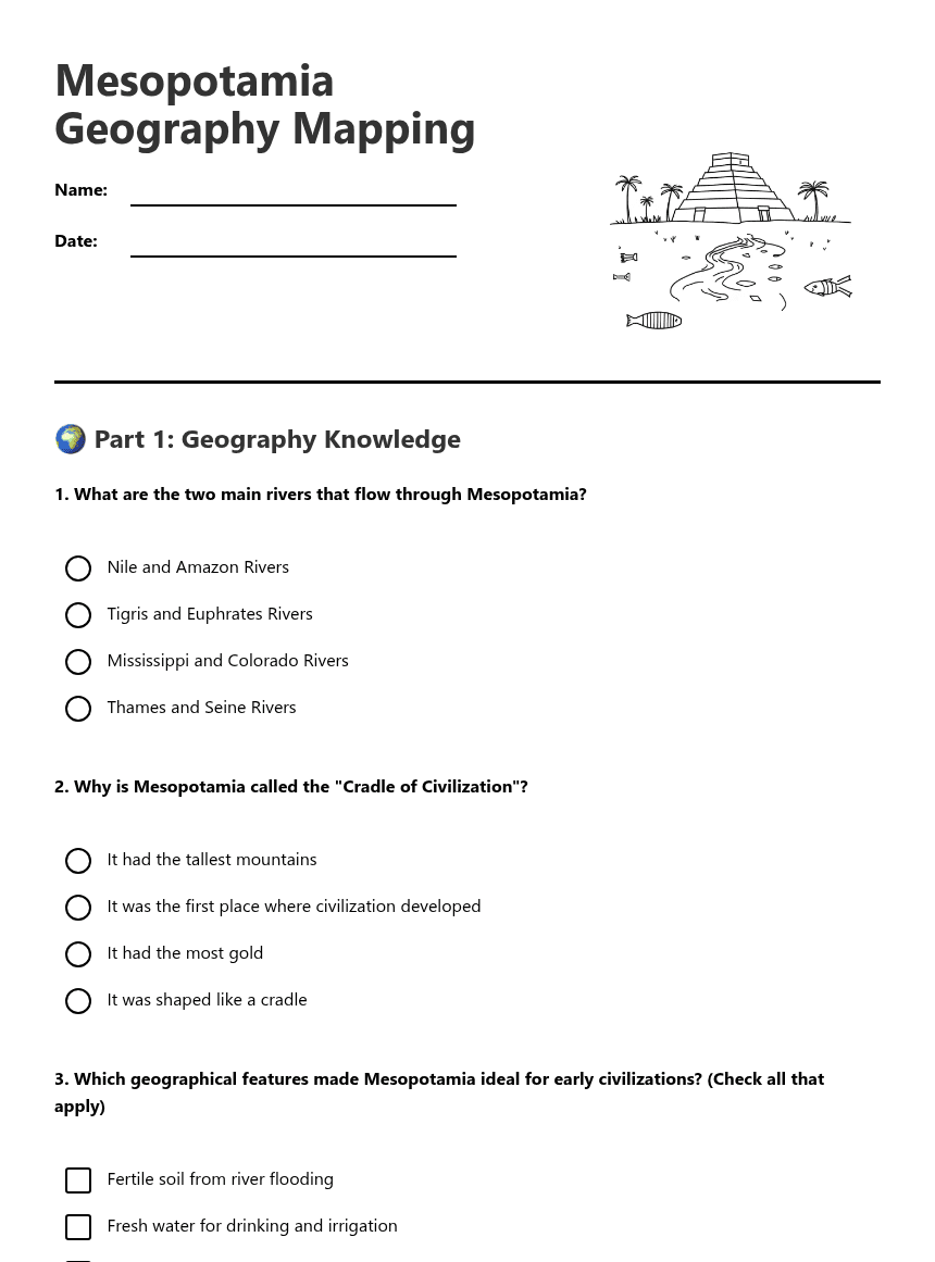
Mesopotamia Geography Mapping
🌍 Part 1: Geography Knowledge
🗺️ Part 2: Map Skills
Required elements:
• Tigris River
• Euphrates River
• Persian Gulf
• Label "Fertile Crescent"
• At least two ancient cities (Ur, Babylon, or Sumer)
Answer: _______________
🤔 Part 3: Critical Thinking
The _____________ and _____________ Rivers provided _____________ soil that was perfect for farming. This allowed people to settle in one place and develop the world's first _____________.
About This Worksheet
Free in Kuraplan
Sign up free, grab the PDF, and customize it for your class.
Print-Ready
Formatted for standard paper. Clean layout, easy to read.
AI-Generated
Created with Kuraplan's AI, designed for real classroom use.
For Teachers & Parents
Use in classrooms, for homework, tutoring, or homeschool.
Need a custom version of this worksheet?
Kuraplan's AI generates custom worksheets in seconds — differentiated for every learner, aligned to your curriculum.
Generate Custom Worksheets — FreeMore Social Studies Worksheets
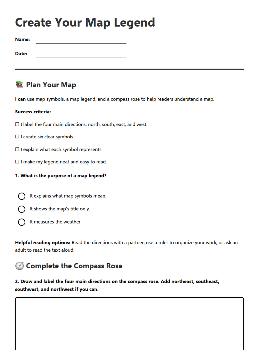
Create Your Map Legend
Free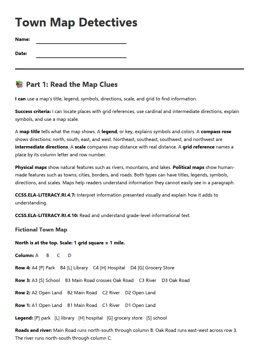
Town Map Detectives
Free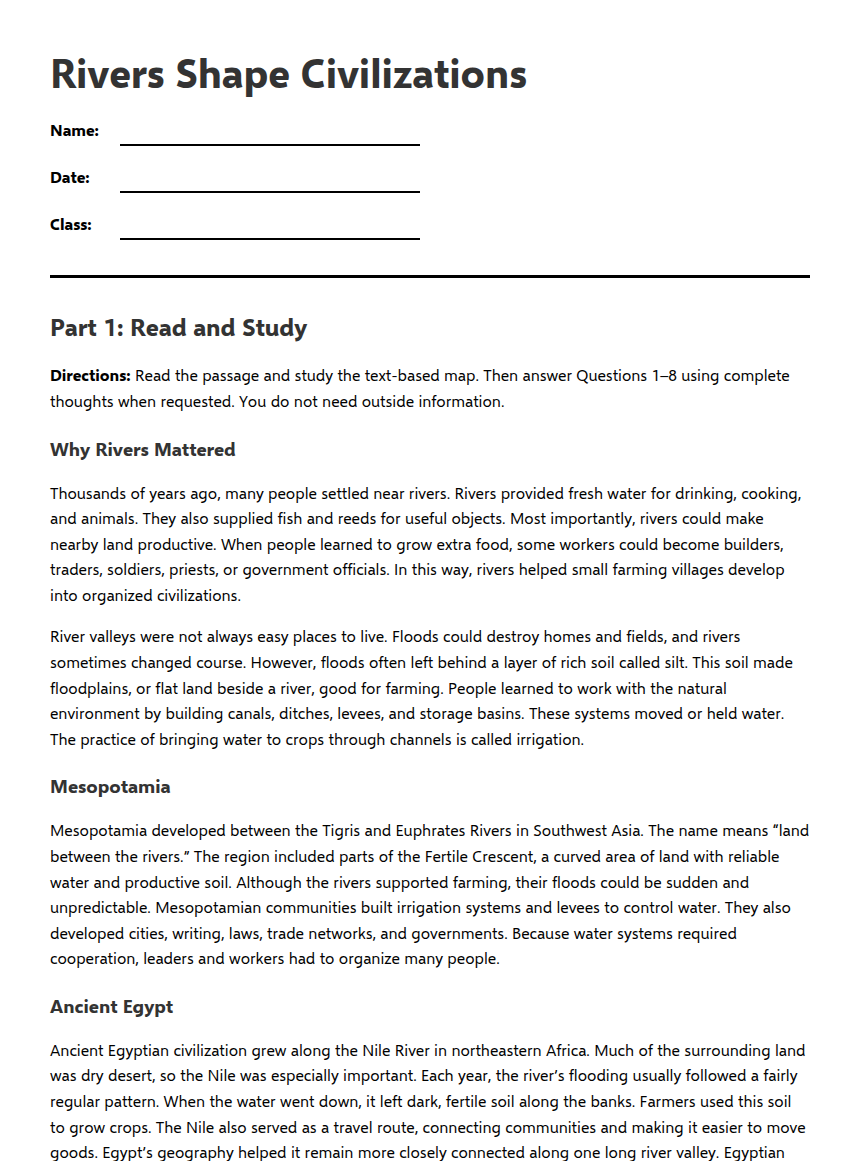
Rivers Shape Civilizations
Free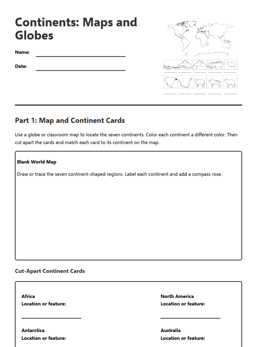
Continents: Maps and Globes
Free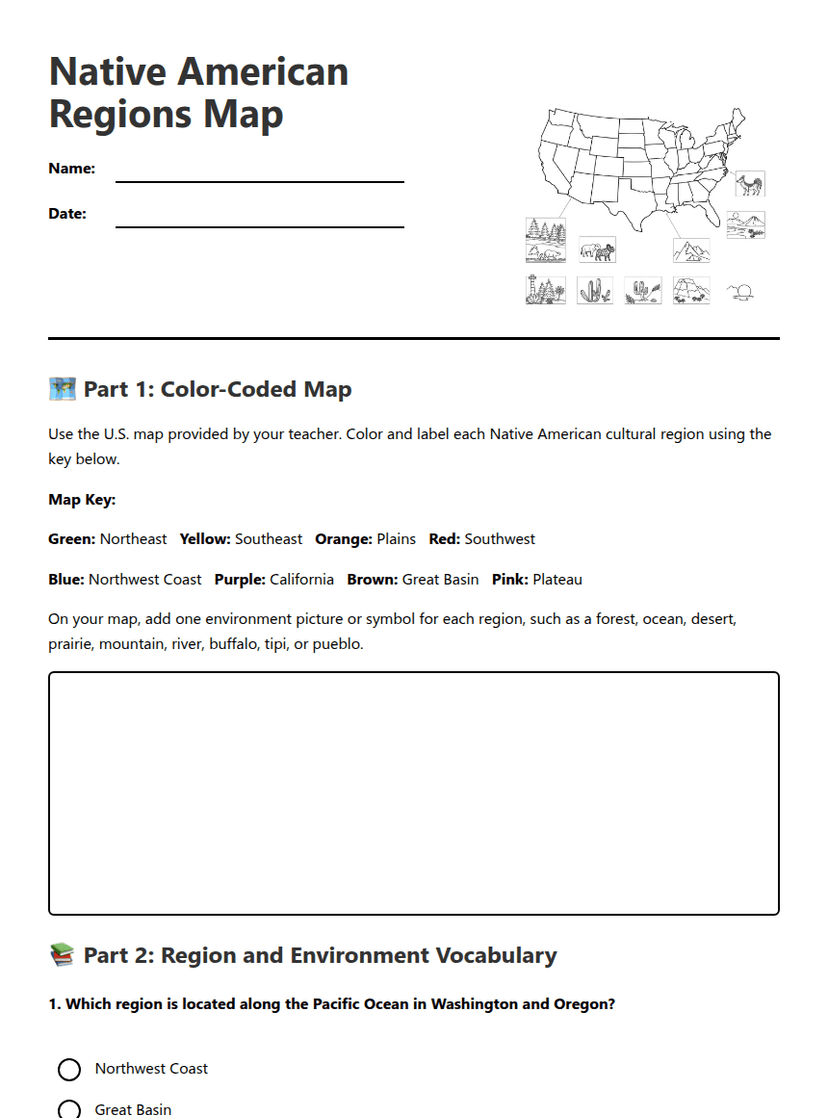
Native American Regions Map
Free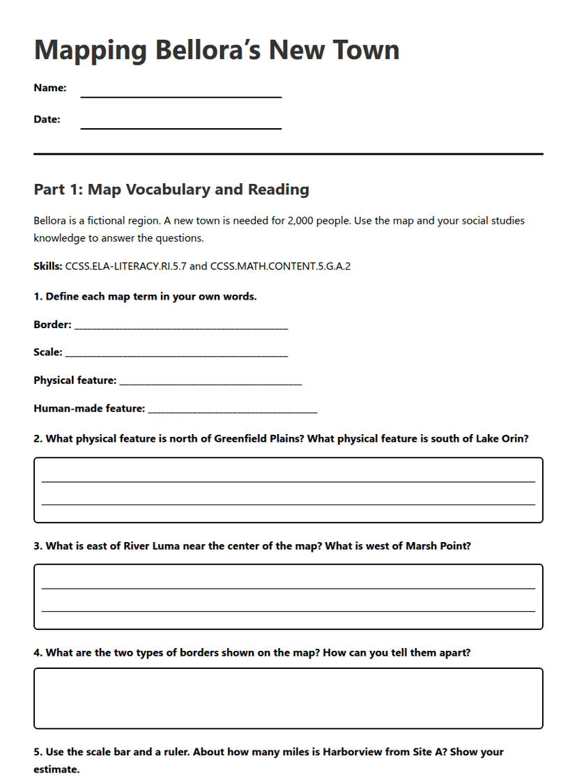
Mapping Bellora’s New Town
Free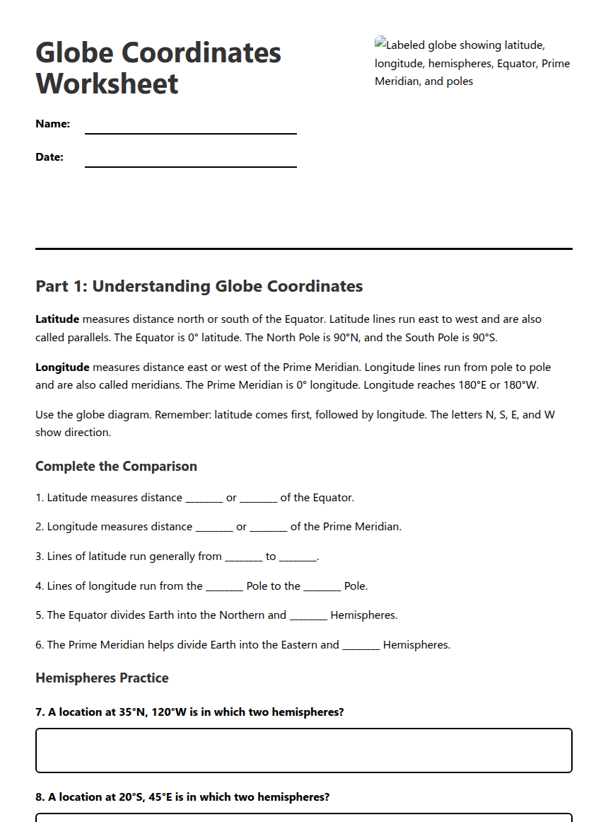
Globe Coordinates Worksheet
Free