Social StudiesFreePrintable
Ancient Civilizations Geography Mapping
A free social studies worksheet ready for your classroom. Open in Kuraplan to grab the print-ready PDF, customize it for your students, or generate a fresh version in seconds.
Ancient Civilizations Geography Mapping
🗺️ Part 1: Civilization Location & Geography
1. Which river system was most important to ancient Mesopotamian civilization?
Nile River
Tigris and Euphrates Rivers
Yellow River
Indus River
2. Ancient Egypt developed along which major geographic feature?
Mediterranean Sea coast
Sahara Desert oases
Nile River valley
Red Sea trade routes
3. Check all geographic features that helped ancient civilizations develop: (Select all that apply)
Fertile river valleys
Natural barriers like mountains
Access to trade routes
Reliable water sources
Desert isolation
4. The Indus Valley Civilization was located in present-day _____________ and _____________.
Countries: _________________ and _________________
5. Which ancient civilization developed in the area between the Yellow and Yangtze Rivers?
Ancient Egypt
Ancient China
Mesopotamia
Maya Civilization
📝 Part 2: Geography's Impact Analysis
6. Choose ONE ancient civilization and explain how geography influenced its development. Use specific examples.
Civilization chosen: _________________________
7. Compare TWO ancient civilizations. How did different geographic features lead to different developments?
Civilization 1: _________________ Civilization 2: _________________
🎯 Part 3: Success Criteria Self-Check
8. Check off each "I Can" statement you can demonstrate:
I can locate major ancient civilizations on a world map
I can explain how geography influenced civilization development
I can use evidence from texts and maps in my explanations
I can compare different civilizations and their geographic advantages
9. Extension Challenge (Advanced): Research one factor that led to the decline of an ancient civilization. How did geography play a role?
10. Reflection: If you were founding a new civilization today, what geographic features would you prioritize and why?
About This Worksheet
Free in Kuraplan
Sign up free, grab the PDF, and customize it for your class.
Print-Ready
Formatted for standard paper. Clean layout, easy to read.
AI-Generated
Created with Kuraplan's AI, designed for real classroom use.
For Teachers & Parents
Use in classrooms, for homework, tutoring, or homeschool.
Need a custom version of this worksheet?
Kuraplan's AI generates custom worksheets in seconds — differentiated for every learner, aligned to your curriculum.
Generate Custom Worksheets — Free No credit card Curriculum-aligned Under 60 seconds
More Social Studies Worksheets
4th Grade
Create Your Map Legend
Free
4th Grade
Town Map Detectives
Free
6th Grade
Rivers Shape Civilizations
Free
5th Grade
Continents: Maps and Globes
Free
9th Grade
Native American Regions Map
Free
5th Grade
Mapping Bellora’s New Town
Free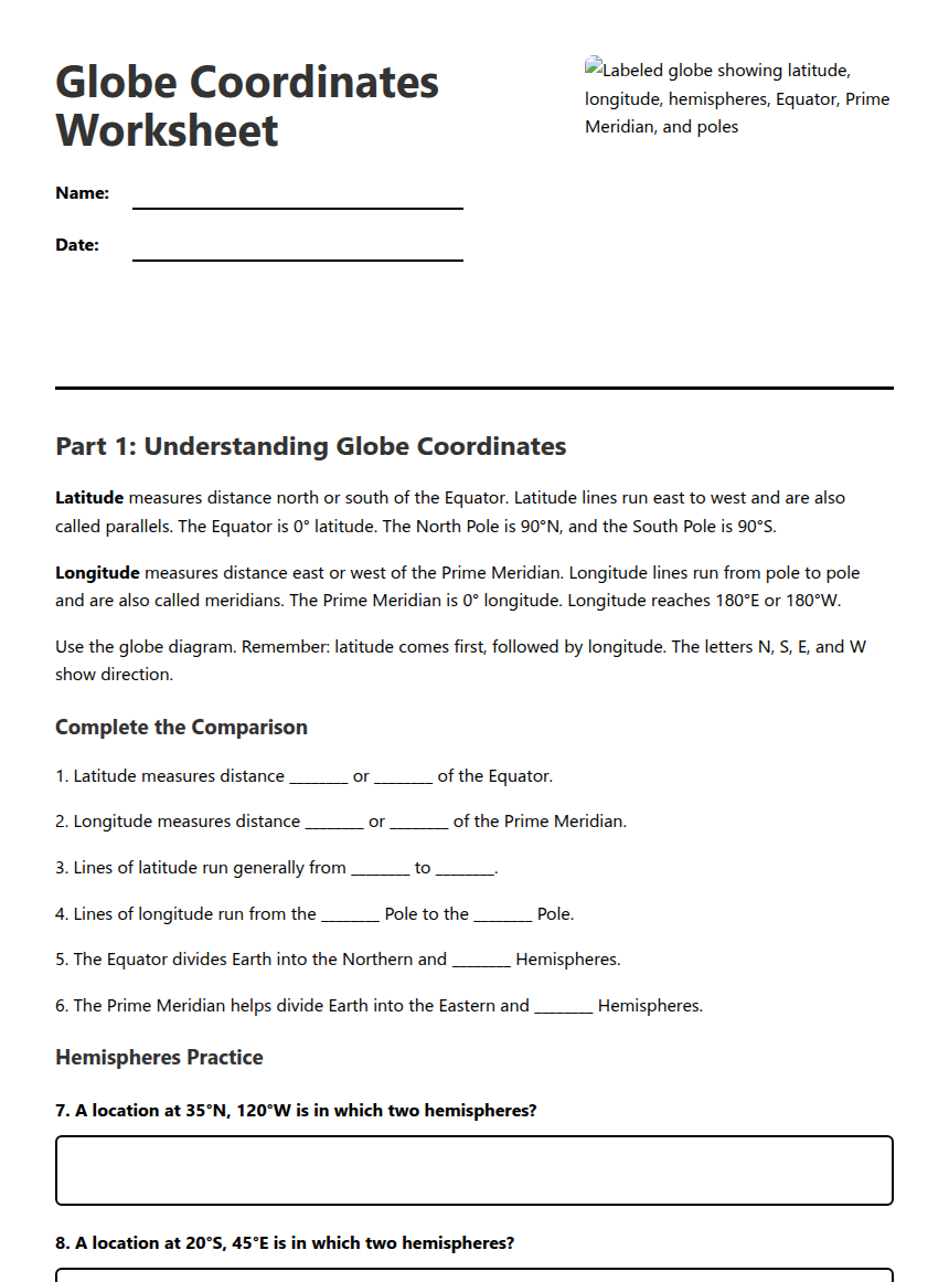
6th Grade–7th Grade
Globe Coordinates Worksheet
Free
5th Grade