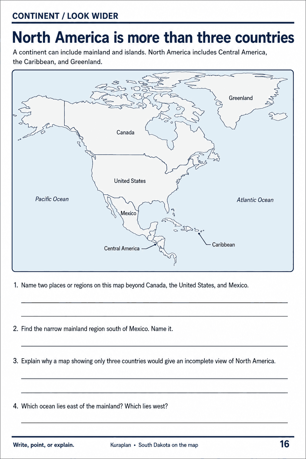
North America is more than three countries
Free humanities & social sciences printable for teachers · Sheets & slips
About this printable
Use a selected North America overview to compare mainland and island regions and identify the oceans to the east and west.
Make printables like this in seconds
Kuraplan generates humanities & social sciences worksheets, lesson plans and classroom resources matched to your curriculum.
Try Kuraplan free90-second quiz · no credit card
Related printables
More humanities & social sciences resources
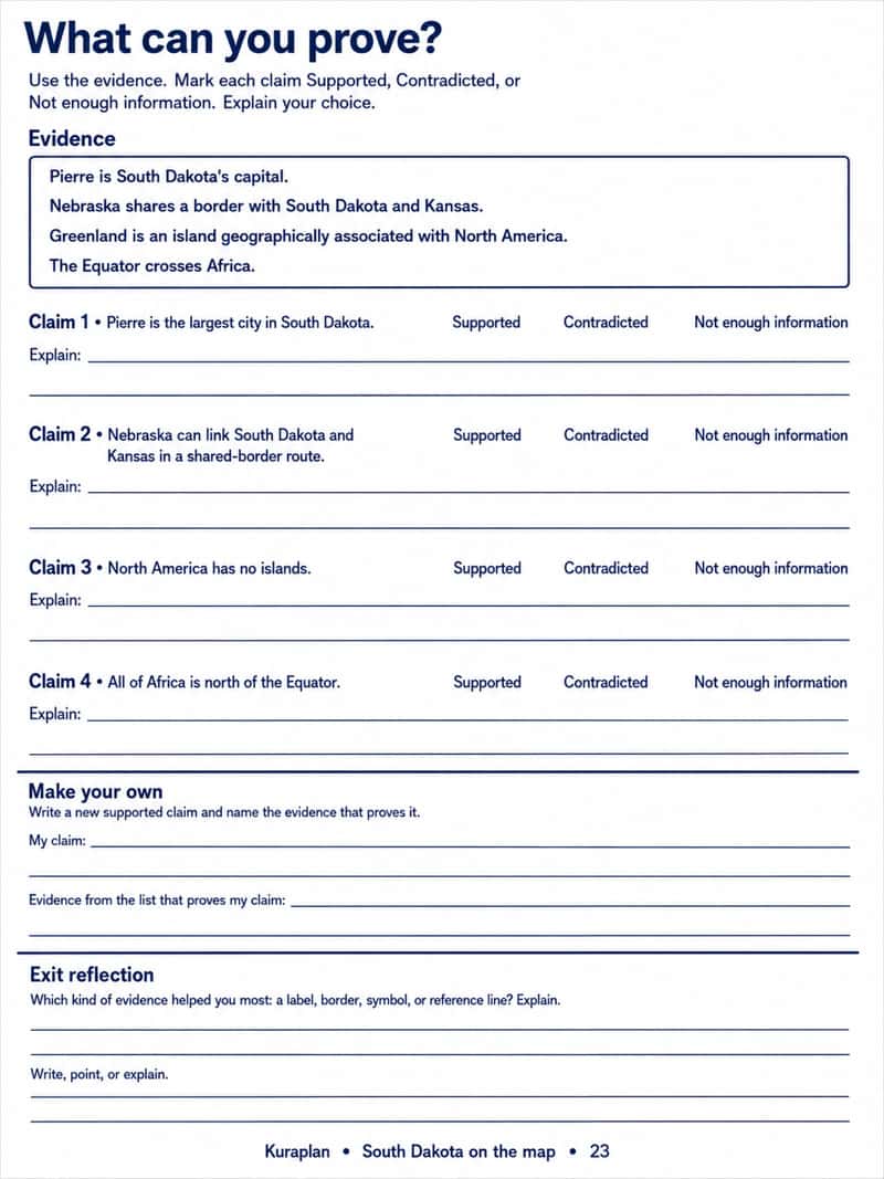
What can you prove?
Humanities & Social Sciences · Sheets & slips
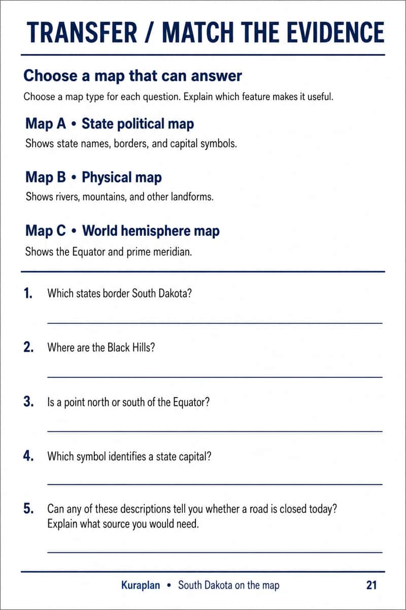
Choose a map that can answer
Humanities & Social Sciences · Sheets & slips
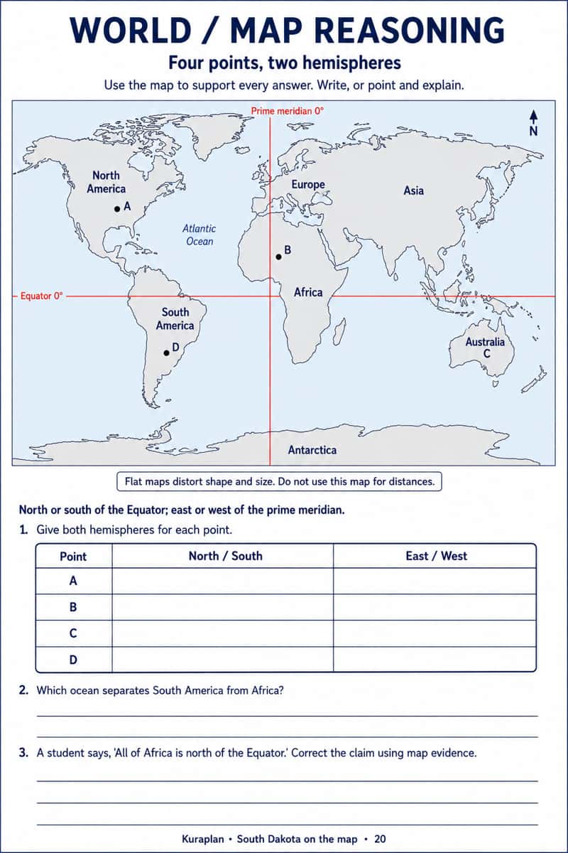
Four points, two hemispheres
Humanities & Social Sciences · Sheets & slips
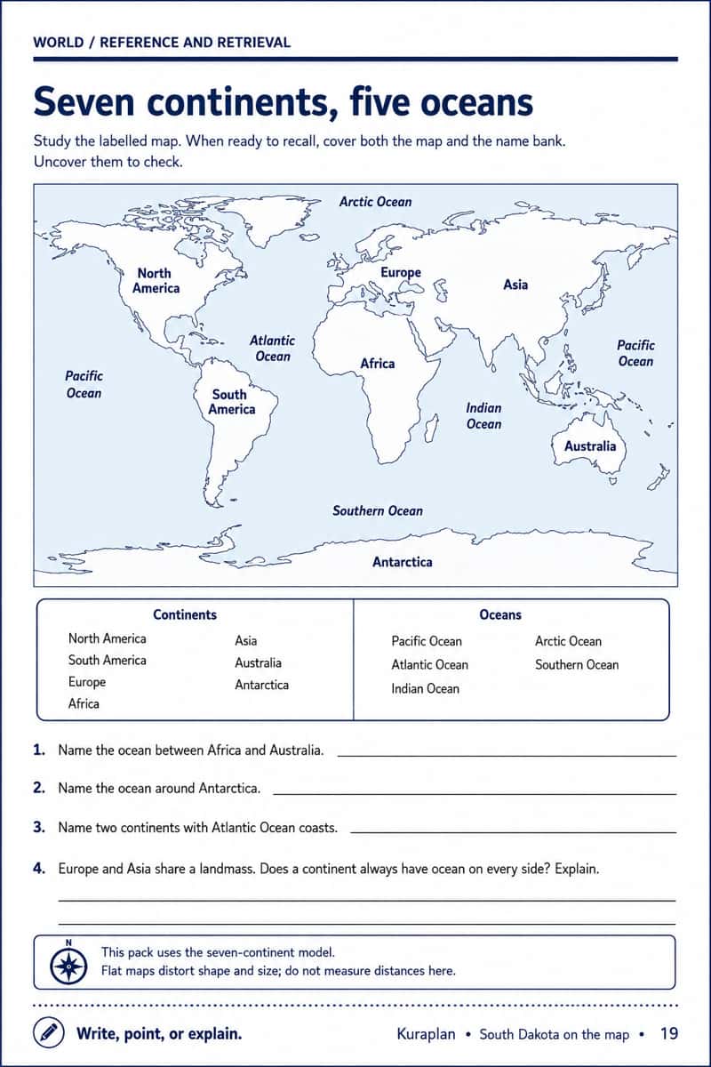
Seven continents, five oceans
Humanities & Social Sciences · Sheets & slips
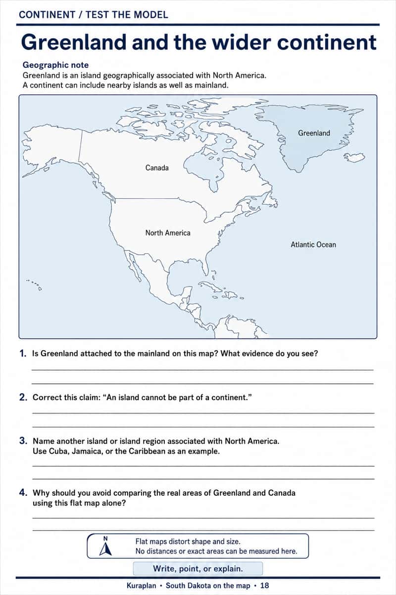
Greenland and the wider continent
Humanities & Social Sciences · Sheets & slips
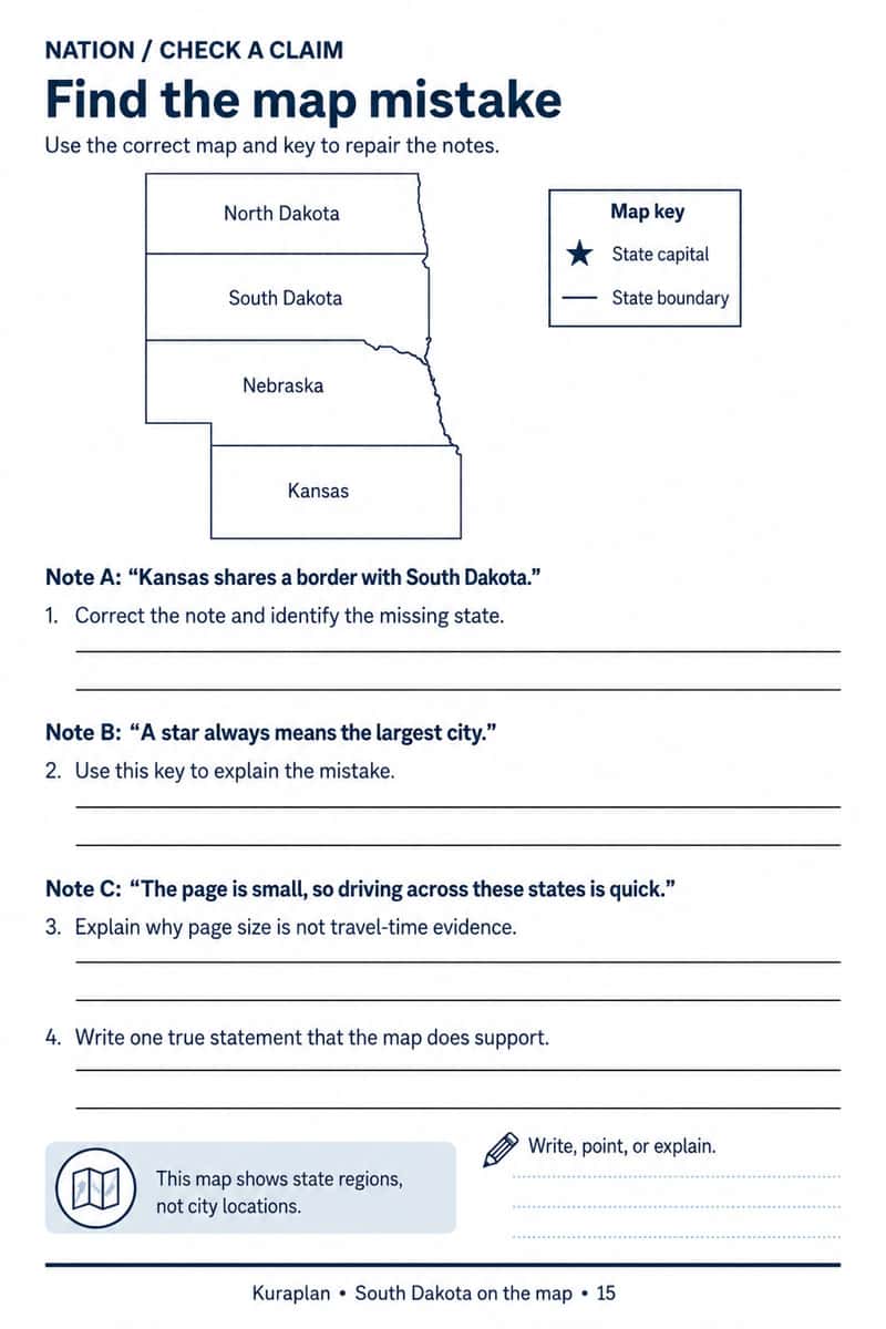
Find the map mistake
Humanities & Social Sciences · Sheets & slips
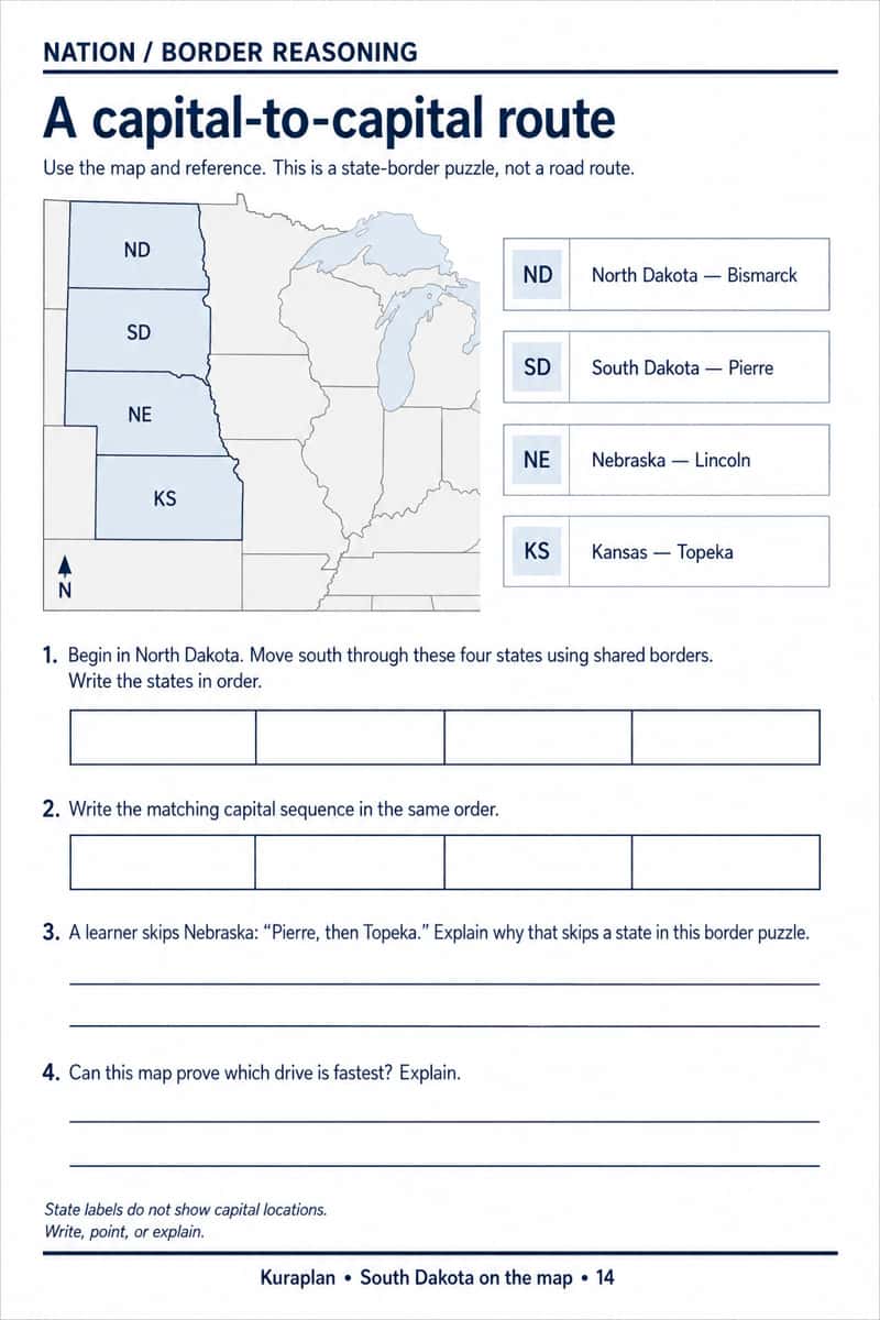
A capital-to-capital route
Humanities & Social Sciences · Sheets & slips
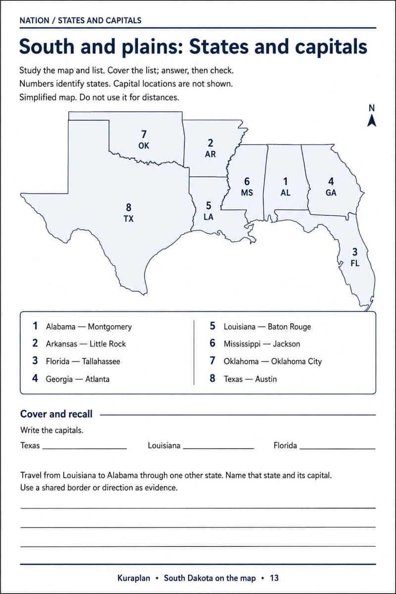
South and plains: States and capitals
Humanities & Social Sciences · Sheets & slips