Western Europe Geography Worksheet
A free social studies worksheet ready for your classroom. Open in Kuraplan to grab the print-ready PDF, customize it for your students, or generate a fresh version in seconds.

Western Europe Geography Worksheet
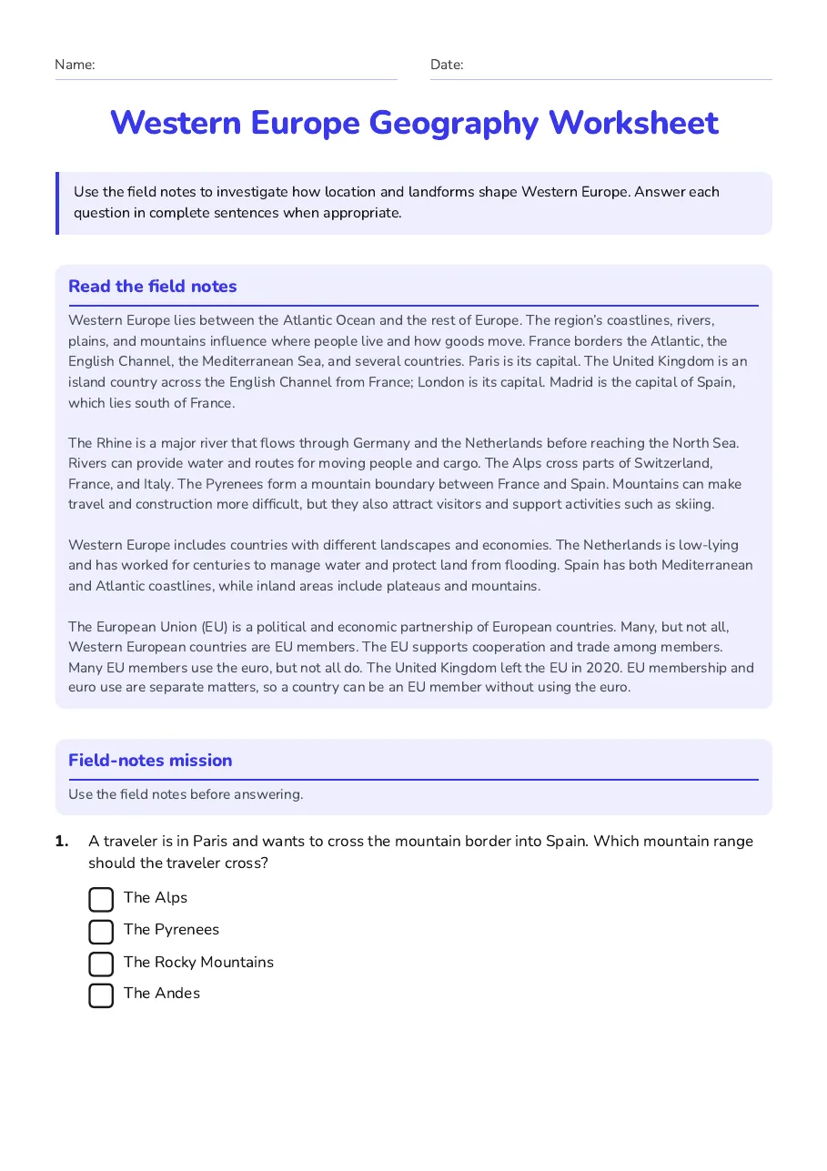
Read the field notes
Western Europe lies between the Atlantic Ocean and the rest of Europe. The region’s coastlines, rivers, plains, and mountains influence where people live and how goods move. France borders the Atlantic, the English Channel, the Mediterranean Sea, and several countries. Paris is its capital. The United Kingdom is an island country across the English Channel from France; London is its capital. Madrid is the capital of Spain, which lies south of France. The Rhine is a major river that flows through Germany and the Netherlands before reaching the North Sea. Rivers can provide water and routes for moving people and cargo. The Alps cross parts of Switzerland, France, and Italy. The Pyrenees form a mountain boundary between France and Spain. Mountains can make travel and construction more difficult, but they also attract visitors and support activities such as skiing. Western Europe includes countries with different landscapes and economies. The Netherlands is low-lying and has worked for centuries to manage water and protect land from flooding. Spain has both Mediterranean and Atlantic coastlines, while inland areas include plateaus and mountains. The European Union (EU) is a political and economic partnership of European countries. Many, but not all, Western European countries are EU members. The EU supports cooperation and trade among members. Many EU members use the euro, but not all do. The United Kingdom left the EU in 2020. EU membership and euro use are separate matters, so a country can be an EU member without using the euro.
Field-notes mission
Use the field notes before answering.
- The Alps
- The Pyrenees
- The Rocky Mountains
- The Andes
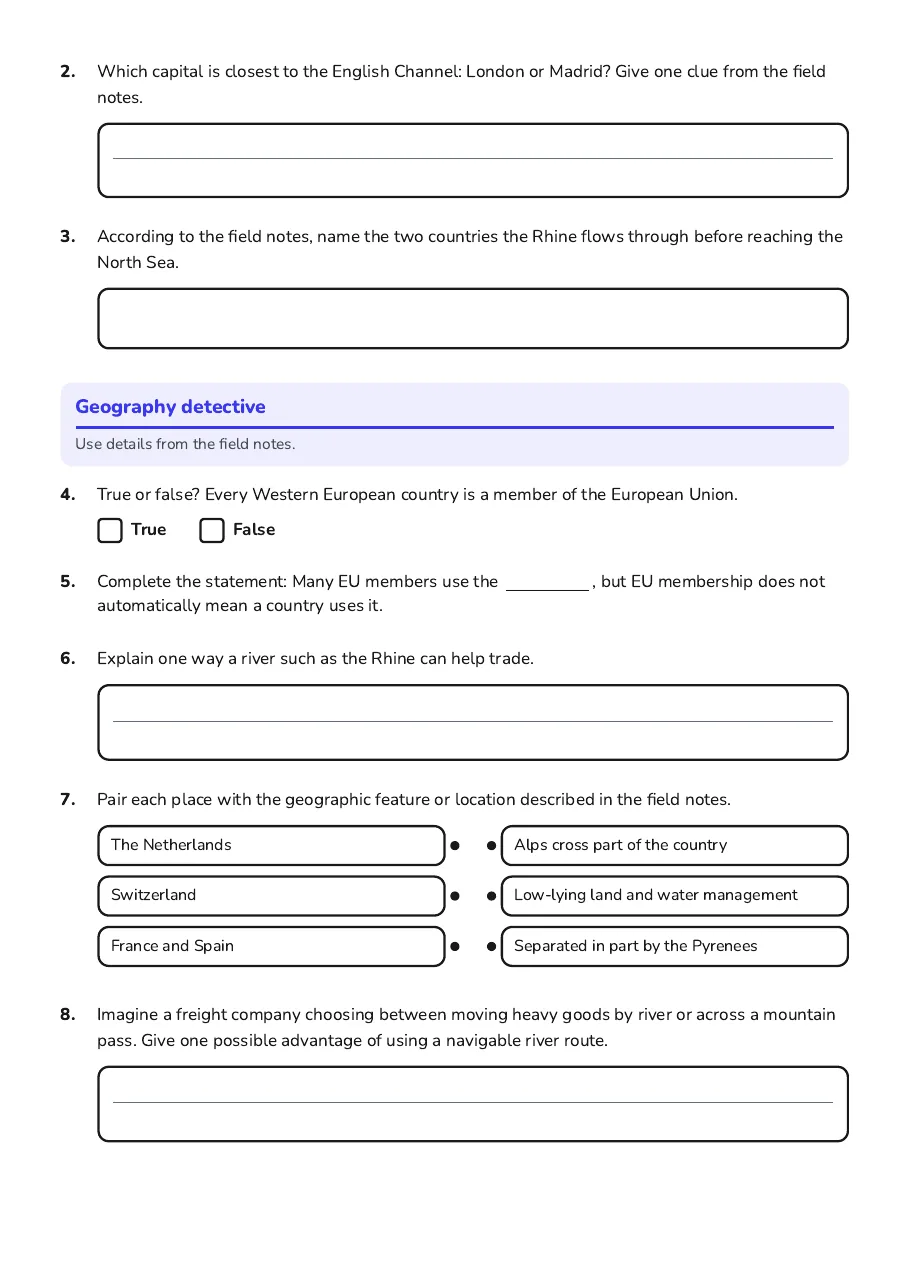
Geography detective
Use details from the field notes.
- The Netherlands
- Switzerland
- France and Spain
- Alps cross part of the country
- Low-lying land and water management
- Separated in part by the Pyrenees
3 printable pages
Page 1
Page 2
Page 3
About This Worksheet
Free in Kuraplan
Sign up free, grab the PDF, and customize it for your class.
Print-Ready
Formatted for standard paper. Clean layout, easy to read.
AI-Generated
Created with Kuraplan's AI, designed for real classroom use.
For Teachers & Parents
Use in classrooms, for homework, tutoring, or homeschool.
Need a custom version of this worksheet?
Kuraplan's AI generates custom worksheets in seconds — differentiated for every learner, aligned to your curriculum.
Generate Custom Worksheets — Free