River Meander Stage3 Cutoff — free printable diagram
Free geography resource for teachers · CC BY-NC 4.0

About this illustration
This cartoon-style illustration depicts the geological process of a "neck breached, new channel." It visually shows two distinct bodies of water initially separated by a narrow strip of land, which is explicitly labeled "Neck." Water is actively flowing and eroding through this land, creating a new channel, with scattered rocks indicating the breach. The accompanying text explains that "Waves break through the narrow neck of land, creating a new channel between two bodies of water," illustrating coastal erosion and landform changes. This diagram is suitable for explaining geographical concepts on a slide, as part of a worksheet on natural processes, or as a visual aid for discussions on erosion in K-12 science or geography lessons. It is presented in a clear, flat illustration style with high contrast.
How a river meander forms
A meander is a bend in a river, typical of its middle and lower course. It forms and then grows because of one simple asymmetry: the water flows fastest round the outside of the bend and slowest round the inside. Fast water erodes and slow water deposits, so the outside of the bend is cut back while the inside is built up, and the bend becomes steadily more pronounced.
- What a meander is
- A bend in a river's course
- Where they are found
- The middle and lower course of a river
- Outside of the bend
- Fastest flow, deepest water — erosion
- Inside of the bend
- Slowest flow, shallow water — deposition
- Landform on the outer bank
- A river cliff — a steep bank
- Landform on the inner bank
- A slip-off slope, or point bar — a gentle shelf of sand and shingle
- Erosion processes
- Hydraulic action and abrasion
- If the neck is cut through
- An oxbow lake is left behind
- The speed difference is the engine of the whole landform. The channel is deeper on the outside of the bend, so there is less friction and the water moves faster there; on the inside it is shallow and slowed by friction with the bed.
- Eroding one bank while building up the other means the bend does not stay put. A meander migrates sideways across the valley floor and slowly downstream, which is why the cross-section is asymmetric — steep on the outside, gently shelving on the inside.
- Hydraulic action is the sheer force of the water against the bank; abrasion is the load the river carries being scraped against it. Both act hardest on the outer bank.
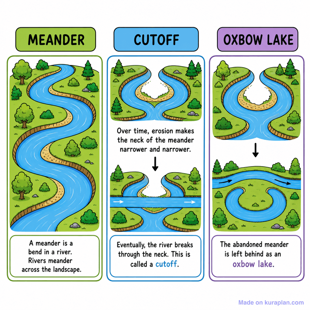
- As erosion continues on both outer banks of a tight loop, the neck of land between them narrows. Eventually, usually during a flood when the river is at its most powerful, the water takes the short route straight across.
- The abandoned bend is then sealed off by deposition at both ends and left as a crescent-shaped oxbow lake, separate from the river, which gradually silts up and dries.
- Diagrams of meanders at different stages are a sequence, not alternatives: they show the same bend developing over time, so reading them in order is the exercise.
How to use
- 1Right-click the image and choose “Save image as”, or use the download button.
- 2Use it in your classroom worksheets, slides or printables — free under CC BY-NC 4.0.
- 3Attribute as “Image by Kuraplan” or link back to kuraplan.com. Not for commercial resale.
Turn this image into a worksheet
This illustration is already in Kuraplan's editor — describe the worksheet you need and the AI builds it around the image in seconds.
Related illustrations
More from Rivers & Water Features
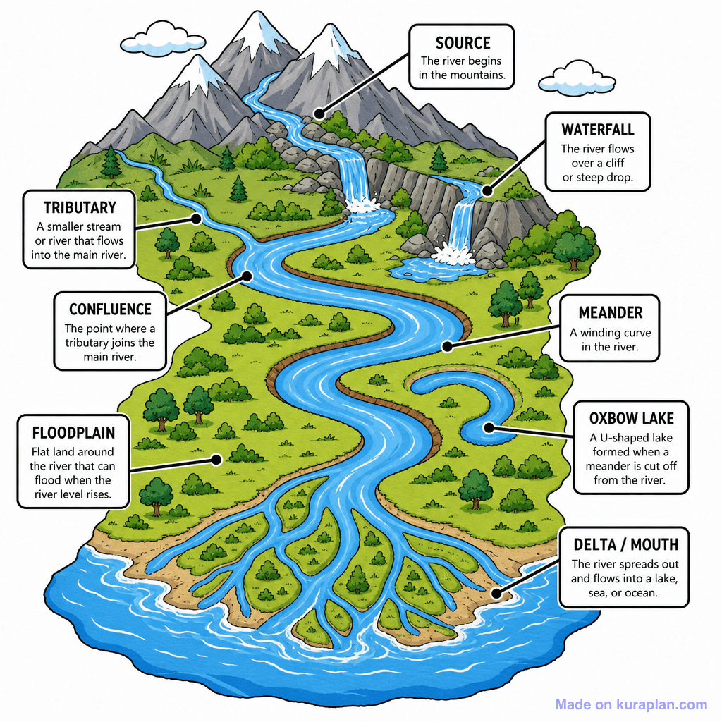
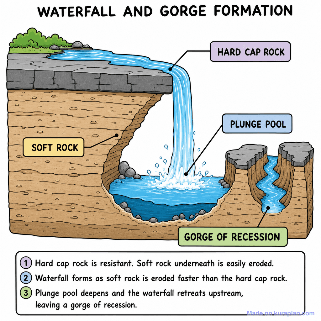
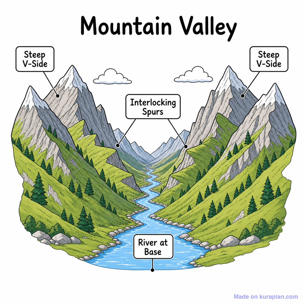
Free worksheets on River Meander Stage3 Cutoff
All free worksheetsBrowse by subject
21 subjects · 5,118 free illustrations
Maths
1,894 free illustrations
Cross-Curricular
835 free illustrations
Science
814 free illustrations
English
612 free illustrations
Health
200 free illustrations
Social Studies
177 free illustrations
Religious Education
139 free illustrations
Music
128 free illustrations
Art
66 free illustrations
Drama
56 free illustrations
Social Sciences
48 free illustrations
History
47 free illustrations
Arts
26 free illustrations
PE
25 free illustrations
Te Reo Māori
24 free illustrations
Technology
16 free illustrations
Culture
7 free illustrations
Business
1 free illustrations
English
1 free illustrations
English (ELA)
1 free illustrations
Languages
1 free illustrations